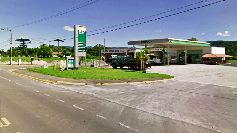
 THE FUEL STATION had been a rejuvenating haven for the last hour. My mind had been on the fuel gauge nudging empty most of the way climbing out of Braço do Norte toward Serra do Corvo Branco, which took a little shine out of the experience.
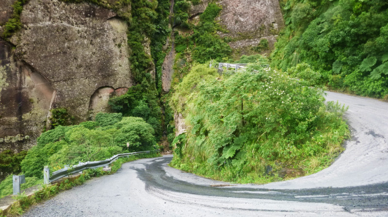 Riding over the Serra had been a real treat and I failed to get the best photographs of it by not knowing the relatively short length of the pass. By the time I’d got my GoPro out it was nearly over and I caught the last hairpin before reaching the crest. It reminded me of El Camino de la Muerte in Bolivia although that was almost 60km long. This was what, maybe 6…?
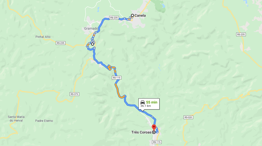
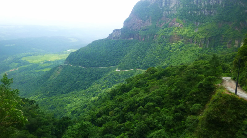 Almost mid-afternoon. Too early to retire to a hostel. A huge chunk of day waits to be carved out of the bright Santa Catarina afternoon. Maps.me shows a selection of about eight waterfalls clustered on its map not far northeast of Urubici, most of the route planners return “inaccessible” so I embark on an expedition to the most ‘accessible’ looking waterfall on the app… and perhaps I won’t need a hostel if I pitch my tent there. After all, 28km isn’t far and shouldn’t take long.
Bike and body fully refuelled and refreshed, I memorise the next few junctions of the route and accelerate out of the fuels station to retrace the last half mile to the junction for the trail toward this imagined Eden.
A pale dusty trail between fields to a right hand dogleg that tracks me along the Rio Canoas and a left-hand bend to a wooden bridge from which children are laughing and jumping into the river, entertained by the pequeno Yamaha from Peru rattling over the loose planks.
The next way point? A sharp right away from the river and second right junction with a bend to the left to reach the next bridge across another river. I remembered the route well but the scenery never matches my imagination.
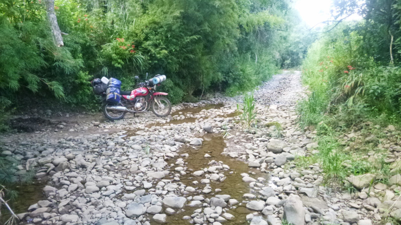 The road degrades into what looks like farm access and down a stony dirt slope then smooth large pebbles descending to the river. The trail leading into the water suggests a ford but there appears to be no exit on the other bank.
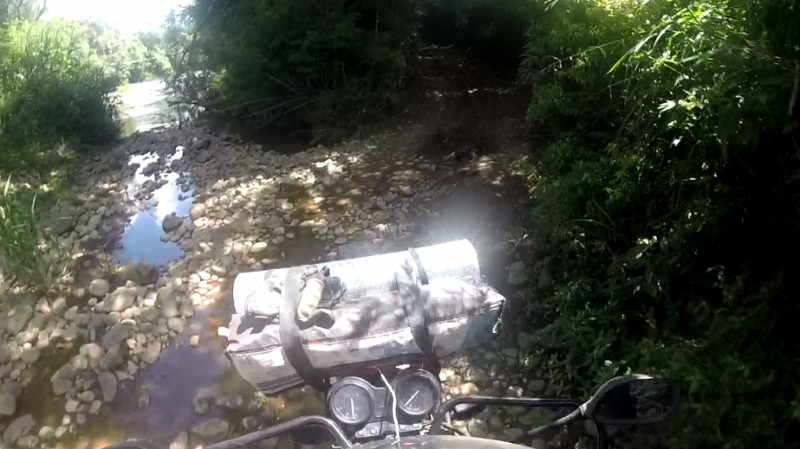 Checking Maps.me and zooming in, my marker is off the route. The bridge should be 20 or 30 metres back. I abandon the bike and clamber up the stony lane. There is indeed a bridge but it’s through a narrow gate to a rickety suspension footbridge less than a metre wide. Even if it were wide enough for a motorcycle, the wire structure looked incapable of enduring our combined weight. Maps.me showed this as a drivable route.
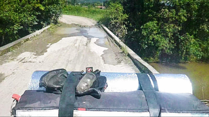
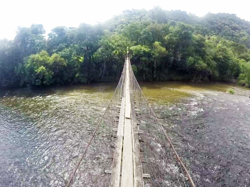 Zooming out on the app, I notice another crossing not far further north. Backtracking past the farmhouses of imagined occupants looking out of the window bemused by foreign traffic along this almost impassible route, I reach the t-junction, turn right along the narrow lane and squeeze past trucks loading crates of fruit harvested from the neighbouring fields and soon cross bridge number two on the GPS: a concrete single width structure of little beauty but herculean looking strength, starkly contrasting the spindly footbridge upstream.
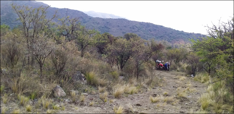
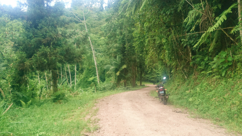
 The dry pale track slowly morphs from dusty to alternately rocky and grassy. The further I travel, the less evidence there appears of recent traffic. Maps.me reassuringly puts my location firmly over the projected route. I’m still on track all right, so give a mental shrug and carry on, powering up the rocky inclines crouching on the pegs to allow the bike to bounce over the rough terrain without my torso adding to the inertia.
The route climbs steadily into the hills in and out of woodland Drinking in the clean Brazilian air, laced with aromas of pine and eucalyptus, I’m rewarded to panoramic views over the emerald green Santa Catarina landscape bathed in golden sunlight.
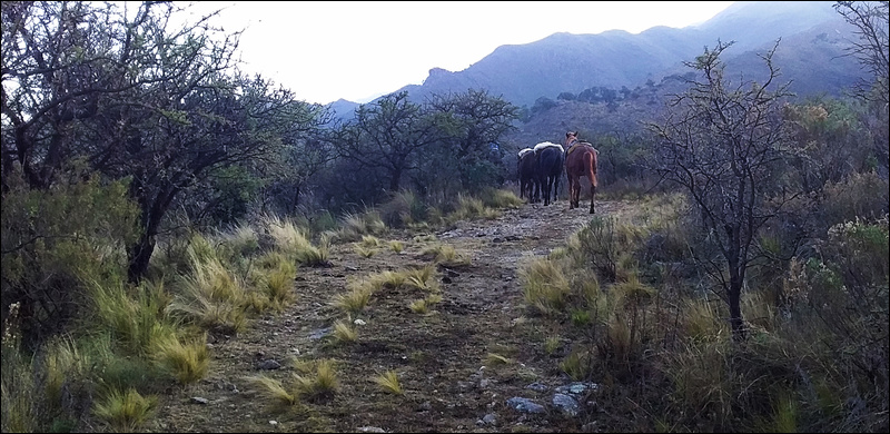
Further and higher, the lane terminates at a gate to a field. In the distance, I spot an off-road motorcycle bounce its way over a ridge and disappear leaving only the sound of its engine fading into the distance and decide to follow. That was the last I saw of it but the GPS still pinned me firmly tracking its route. Distant cows and horses turn their heads as my wheels join up the vague and intermittent wheel tracks across their undulating green pasture from one gate to the next.
These gates are typical barbed wire and post affairs held taught by a loop of wire top and bottom of the gatepost. Some take a lot of grunting to get that last 2mm of wire to slip over the top of the post but are more an annoyance than a problem: dismount, drop gate, push bike through, grunt wire loop back on post, re-mount, repeat at next field.
The trail disappears again and I stop in the middle of green pasture and inspect the map. Nearly two hours of rugged torture over rocky slopes tempts me to abandon the expedition but, according to the app, my holy grail is now only 6km away. Eighty per cent there…
Guessing the path of least resistance over the pasture takes me over a grassy ridge to pick up defined wheel tracks again. The tyre tracks become more pronounced and disappear into a wide puddle through boggy ground. This vague trench seems to reveal itself by longer grass than the rest of the field as it traverses its way each side of the track in a tentative ambition to perhaps one day become a river. The water in the wheel tracks obscures its depth and the nature of the underlying ground and I try to follow the shallow edge before I’m hub deep in peaty mud.
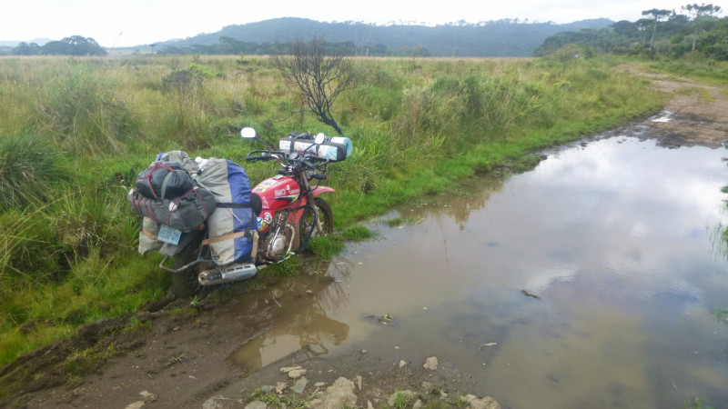 Maybe this is a clue that I should turn back but quitting after coming 80% distant doesn’t really inspire. No need to put the stand down, the bike remains upright as I dismount and squelch the few paces back to firm ground and take a photo.
Staring at the bike, I rue the prospect of untying those bags and then reloading so I kick the gears into neutral and heave on the bar that crosses the back wheel bracing the two sides of the luggage rack. With enough grunting and desperation of avoiding unloading the bike, it begins to move and I stagger back until it topples over to the right releasing the wheels from the mire and I fall back into half dry ruts.
Washing my hands and boots a little in the muddy puddle, I remount the bike and commit myself to a watery wheel track with enough speed to either plant me firmly in the centre of the bog, if that is my fate, or to hurtle out the other side and along the track toward whatever further obstacle awaits. Beneath the surface, the bed is firm and shallow and I cross the water smoothly without drama.
The pasture and scenery become like Exmoor back in the UK, scrubby bushes and short grass. The trail dips into boggy ground again but I notice faint wheel tracks veering away over the short grass over a ridge behind some bushes I follow those over a crest to rejoin the trail thirty metres further on. I enjoy a pleasant sensation from the minor victory of bypassing another hazard.
Random buildings in fields reinforce the feeling I’ve strayed into someone’s farm. And I continue checking the GPS for reassurance.
The trail has been rough and rocky most of the way, testing my off-road skills to the limit. The Yamaha doesn’t have low enough gearing to maintain torque and revs at low speed so I have to commit to maintaining momentum over punishing terrain if I am to make it up these inclines at all. It’s a wonder the bike holds together at all with the weight of the baggage strapped across it. And how does Maps.me know about this route as it’s barely recognisable as a trail in reality?
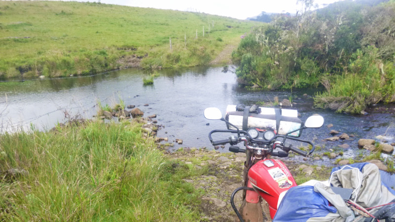 The trail disappears into yet more water. This time, a bonafide ford, a narrow stream but with a stony bed. I don’t know how deep it is but I can see mango-sized pebbles in the shallows before the reflection of the sky on the water obscures the view halfway across. It looks harmless enough though. It’s not wide enough to be deep and also a ford.
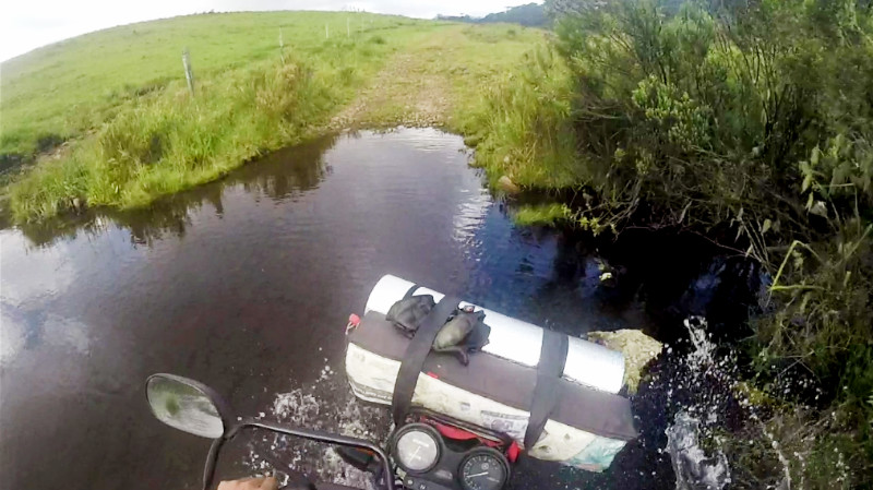 I hesitate and consider turning around but the GPS tells me my destination is now only 2km away. So close! I have hammered out 26km of rocky trail already, more than ninety per cent distance. If I can make the last 2km then I can pitch the tent and watch the sun go down from the hammock and maybe bathe in the crystal waters of the waterfall.
I spare a thought for the laptop and chargers in the bags but reassure myself that they are packed near the top of the bags and all it takes to cross is a little confidence and I’ll be through with no problem.
The bed of the stream proves rough but firm and I rattle across toward the far bank before the front wheel suddenly lurches to one side wedging itself between two boulders and I plunge my feet into the water to stop the bike from tipping over. The water is halfway up my calf and I keep the revs up unsure whether the bike’s exhaust is underwater or not. Now upright, I slowly dismount and, under its own power, walk the bike out of the stream feeling relieved that I didn’t drop the whole thing.
I’m clear of the stream and back on dry land wet trousers clinging to my calves and boots brim-full of water. I remount and continue to the next gate perhaps 200 metres away and gaze across another green, blank field. The trail clearly passes through this gate but after that, I see no evidence of its path across the grass. Horses pause their grazing to stare at me as if to ask me “What now?” A farmhouse perched on the far side of the field hints at a descent into the valley beyond where must surely nestle the elusive paradise of the waterfall.
I put my hand in my pocket to retrieve the phone and check the route on the GPS, only to find heart-stopping emptiness. I check my other pockets. No phone. Well, it couldn’t be far away since I’d checked this unbelievable route before the ford. The prime suspect was the site of the wrestling match to keep the bike falling into the water and I race back to the ford hoping to catch a glimpse of the phone on the grass.
In the murky black depths of the stream, spotting a black smartphone is impossible, but not so the coil of the white USB cable still connected to it… exactly the spot where the bike wedged itself between the boulders. I rolled up my sleeve and waded in to fish it out hoping for the best. Unplugging the USB cable prompted the screen to display “Powering Down” as if this was its dying breath, the last time I ever saw it alive… RIP GPS… RIP: Internet, Translator, Whatsapp, Kindle, Camera, Clock, Banking Authentication. Goodbye connection to the wider world…
Well what now…, 2km from my imagined paradise past a suspected farmhouse assumed to be near an undefined trail to an unconfirmed waterfall with no aid for navigation or communication? The nature of my journey had changed from one of spiritual reward to one of material loss. That feeling of loss put me out of the mood to continue altogether.
That’s it. This was enough adventure for one day…
It could be worse. The sun was still high in the sky and I still had 2 or 3 hours daylight. All I had to do was retrace the 26km back to the main road and maybe find the Morro I’d seen signposted earlier off the 370, when I was looking for a fuel station, and camp there.
Would I remember the way? It only takes one wrong turn. Yes, it was a concern but the other thought was, “So what? If it gets dark pitch your tent. No-one is coming here tonight.” Apart from one remote motorcycle and some farm trucks loading crops down in the valley I hadn’t seen any other traffic. So what? It doesn’t matter. It was only uncertainty that was causing the discomfort.
Stashing my waterlogged phone, pouring the water out of my boots and wringing out my socks, I check over the bike and prepare to rejoin civilisation. I choose the alternative wheel track across the ford to find it far smoother and cross easily without incident. Small waves of relief and regret ebbed then flowed on the shore of my consciousness. Relief that I crossed, this time, without effort and regret that this wasn’t the wheel track I’d chosen in the first place.
I move faster now, knowing the nature of the terrain ahead, gravity on my side, relying on brakes to regulate momentum rather than power, standing on the footpegs to allow the bike to move beneath me. I look for forks in the trail across the fields bypass the bogs and I plough through soft ground fast enough to cut through and reach the other side before the mud can grab my wheels.
Yet another fork in the track leads left toward a defined trail and right to an equally defined trail. I’m not certain but I take the one to the right only because I see a gate further on that has the trail continue through to the other side. It’s fifty-fifty. Time will tell.
I check the odometer for progress and notice the speedo and odometer are no longer working. Great, no GPS plus now no facility for measuring distance or speed. Even time had been measured using the phone.
I would just have to estimate time and direction by the sun and estimate distance by a function of estimated time against estimated momentum: not much better than a guess.
The sun was low enough in the sky to point the way west and high enough that I still had a couple of hours of daylight. A hand’s width on an outstretched arm between horizon and the sun equates to about an hour and one finger width to about fifteen minutes. Wisps of misty cloud shrouding these hilltops threaten fog to obscure the sun adding to the Exmoor-like experience but thankfully begins to thin out at the lower altitudes and are soon behind me.
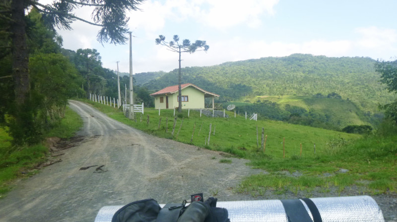 Fairly soon, I arrive at a landmark I remember, a house at a junction that I had stopped to photograph on the way. The reassurance boosts my morale and I press on down the trail.
Thighs burning from the extended crouching position riding over rough ground, I slowed a little so I could sit down over the not so rough terrain.
The trail gradually smooths out and my tyres are eventually whipping up the chalky dust between the fields at the valley floor. Pausing at an unfamiliar junction, engine burbling calmly in neutral, there’s a river on my right that should be on my left. I had already passed a turning across a bridge so that must have been the one I’d originally crossed. Doubling back the 200m I’m back on the familiar route where the trucks had been loading, the fruit trucks had now gone and the descending sun paints the dark shadows of the trees over the track and into the fields. Passing the junction leading to the suspension bridge then onto the riverside and rattling over the planks of the wooden bridge echoing the laughter of the absent children, I reach the silky smooth asphalt of the SC370 and pause at the junction to savour the warm satisfaction of my return to civilisation. “The Eagle has landed…” Not that it felt like I had been to the moon and back but that my adventure had been lost in the space of persistent uncertainty…
Turning left I estimated the Morro I had seen was maybe 10km away, maybe 15… I had no odometer anyway so I’d guess for 15 minutes with the rev counter at 6000 in top gear, as the phone’s death left me no clock and the speedometer needle was dormant at zero.
The sun was still above the horizon, barely. The return trip from the ill-fated waterfall excursion had been a lot quicker than the outward leg.. It was downhill for a start, plus I didn’t have to keep stopping to check the GPS since I no longer had one.
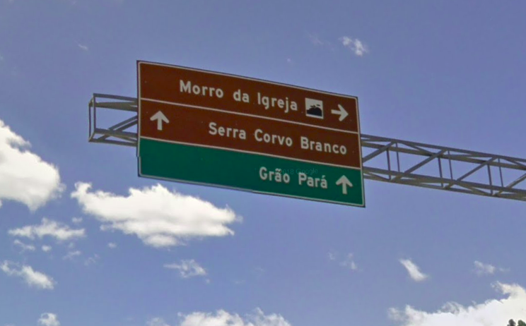 About 15 minutes along the SC370, the sign to “Morro de Igreja” and followed it right, south along the road that zigzagged up the mountain, past construction crews resurfacing it, and through the low cloud base in and out of grey mist. It was late enough now that I already had my eyes open for “Plan B” camping sites. Spindly woods along a dubious looking lane was one, a green area in front of a farm gate was another until I finally reached the site that iOverlander indicated had a waterfall with a restaurant that allowed its reviewer to camp there.
Turning into the entrance and down the drive, a girl wearing black leggings, trainers and earphones was marching toward the road with purpose and I said Hola rolling on by, eager to pitch camp.
I coasted in past a booth displaying a “Fechado” sign and was met by a man emphasising “No, closed. Come back tomorrow.” He summoned his son who could speak a little English. He told me “No, closed, come back tomorrow.” I asked about somewhere to camp hoping he would say, “How about here on our ample grounds” but no, he said somewhere on the main road near a hump. “My sister speaks good English but she’s just gone for a walk”
I exited demoralised and passed the girl now at the road without bothering to stop to speak other than say “Tchau.” as I rode toward my “Plan B”.
Dusk was upon me and I was starting to feel cold. Checking out the dubious lane with spindly woods didn’t inspire confidence. I felt I’d be trespassing on a family estate if there is such a thing in Brazil. I continued down the road to the farm gate.
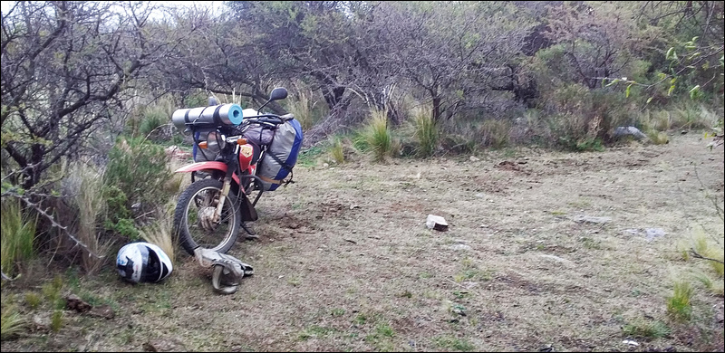
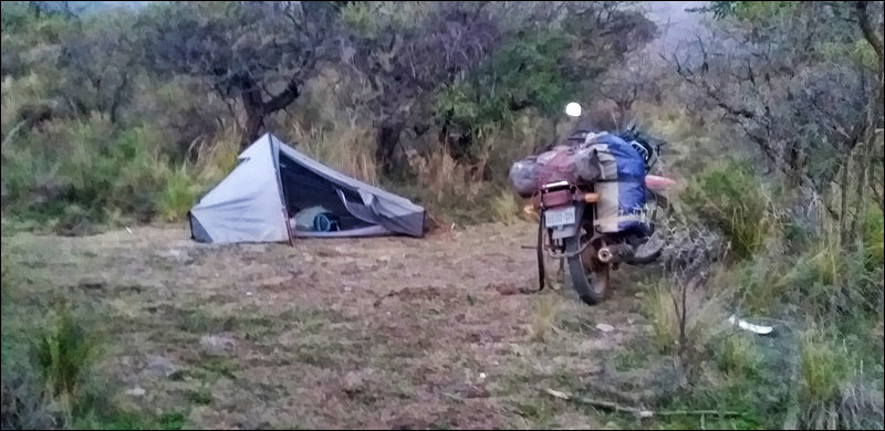
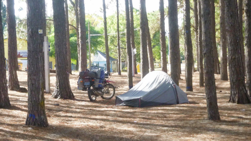
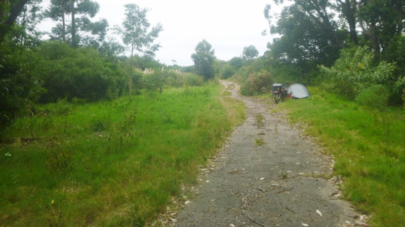
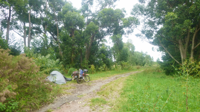
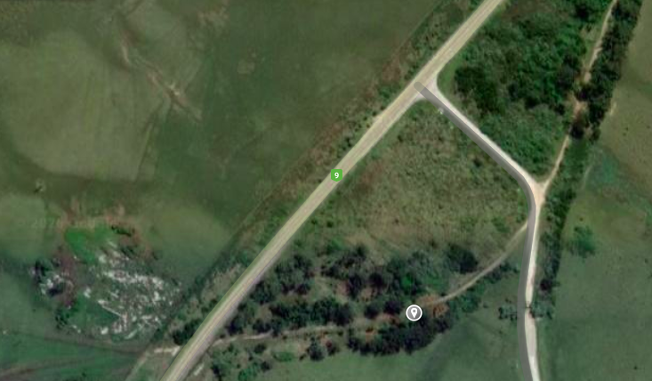
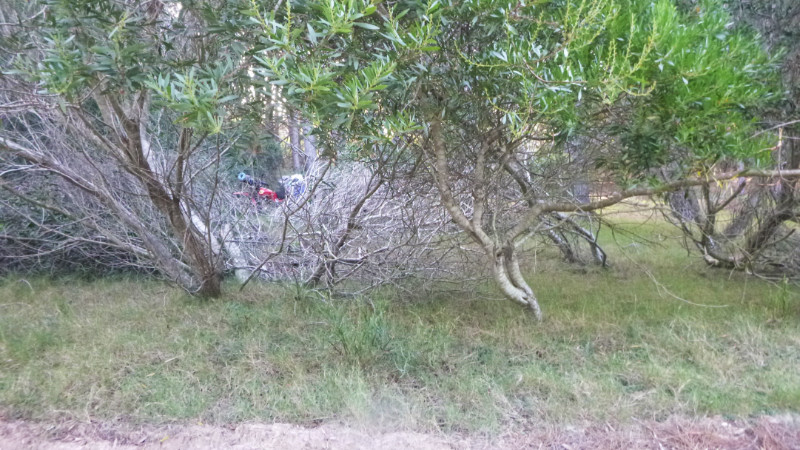
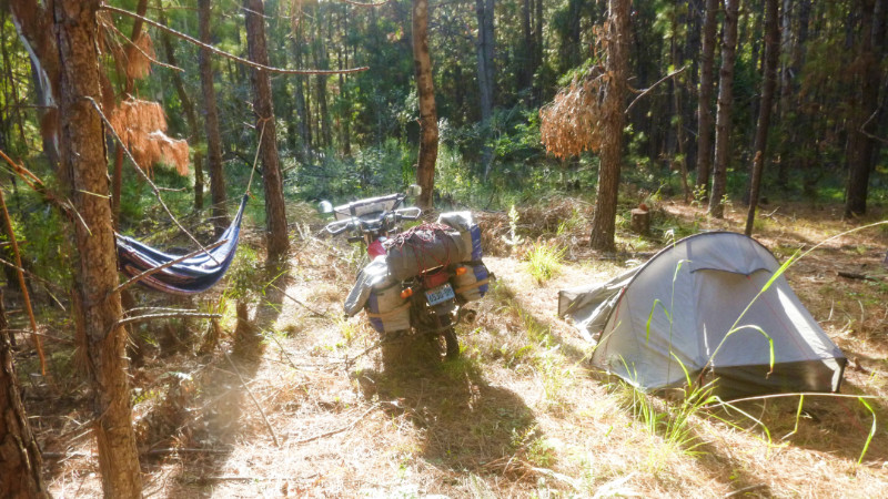
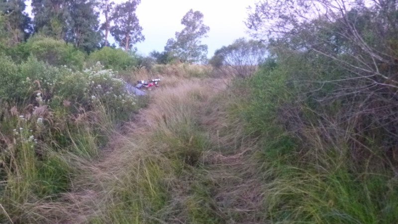
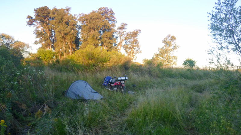
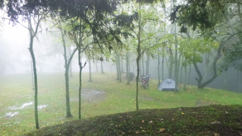
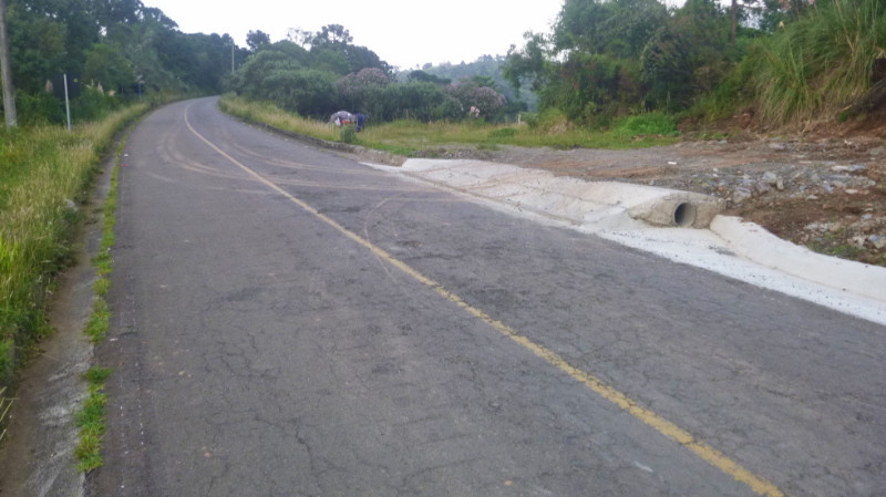 There was nothing but a field entrance here. Visible from the road, being right next to it, wasn’t ideal but there was very little traffic. It was time. The sun had set, I was cold and tired. I pitched the tent in the rough grass, flattening the groundsheet over the springy weeds best I could, stripped the insoles out of my boots and draped my socks to dry over the handlebars of the bike.
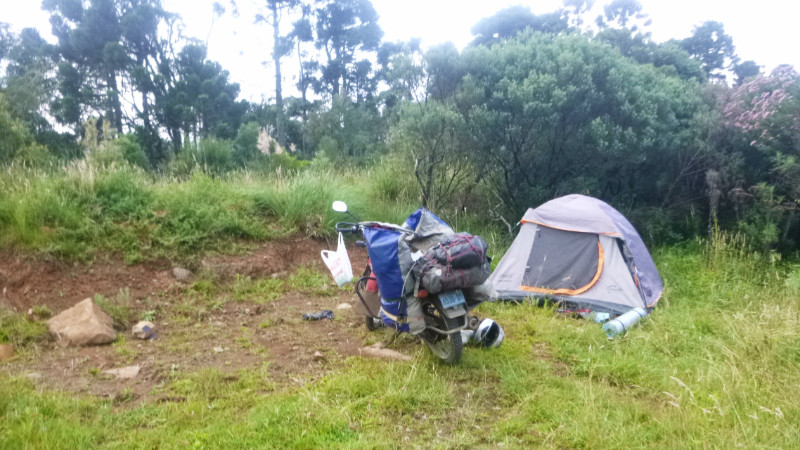 My cold, white feet looked like dead fish due to their few hours of marinating in soaking boots. No phone, a broken speedometer, wet boots. The whole excursion to the waterfall had been a disaster but thinking about it, I was both amazed and grateful that the bike didn’t break its back over the terrain.
And wow, what an adventure, now that it was all over and its memory cemented into the certainty of the past…
Adventure and uncertainty: seems one doesn’t exist without the other…
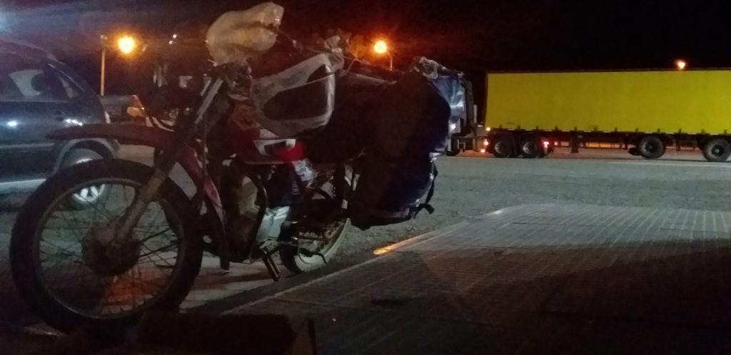
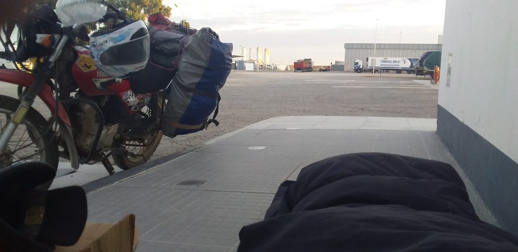
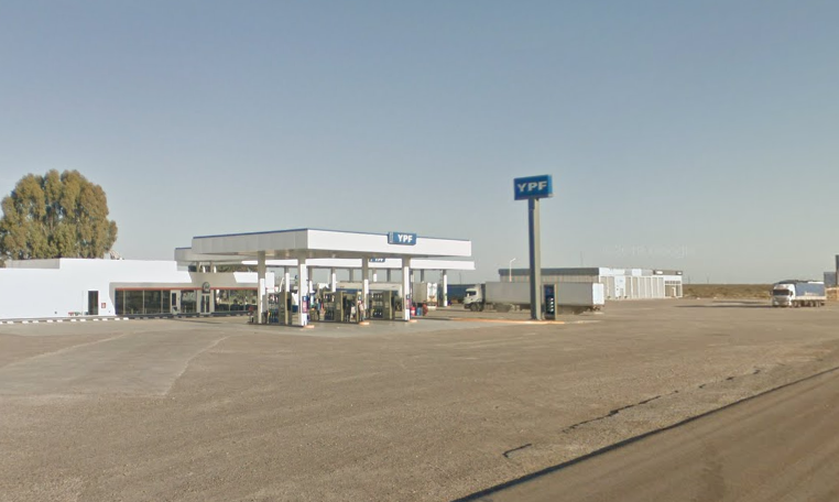



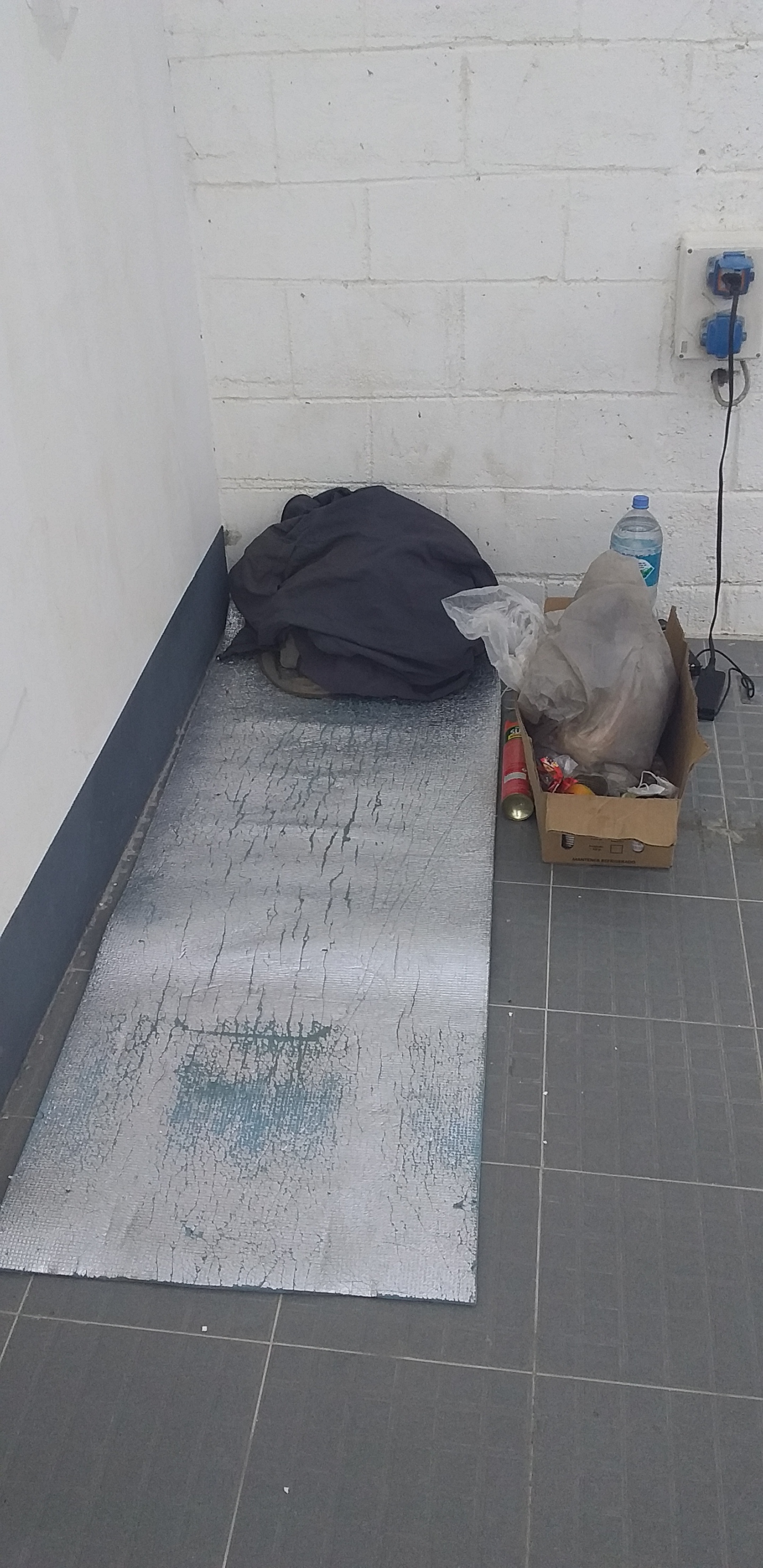
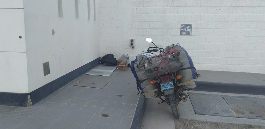

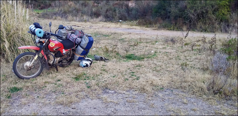
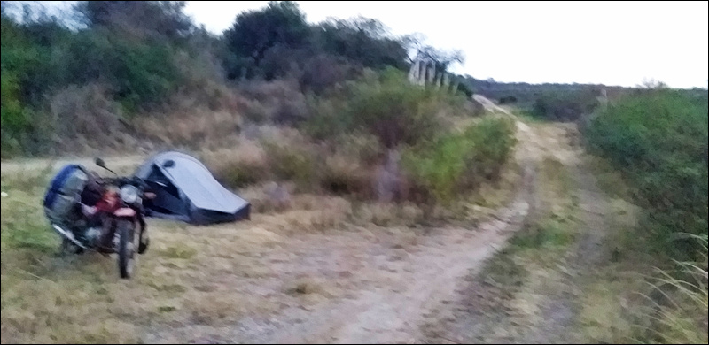
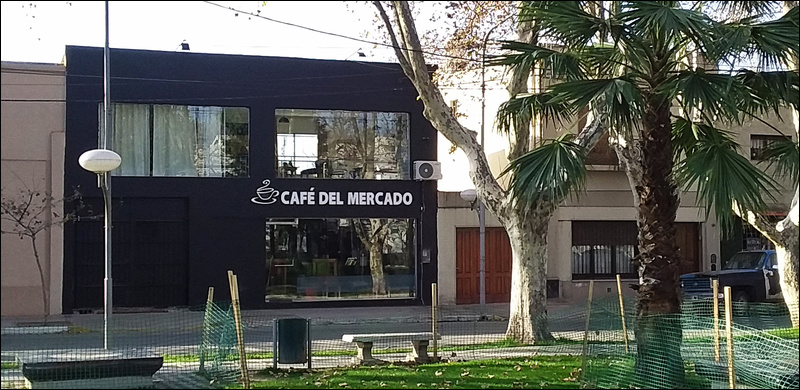
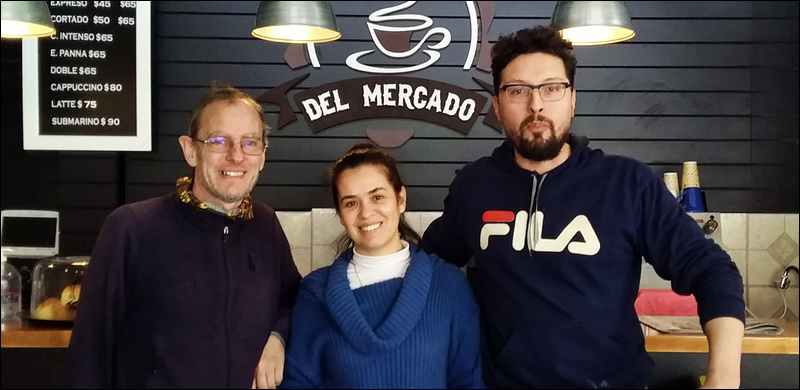
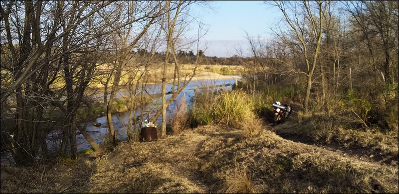
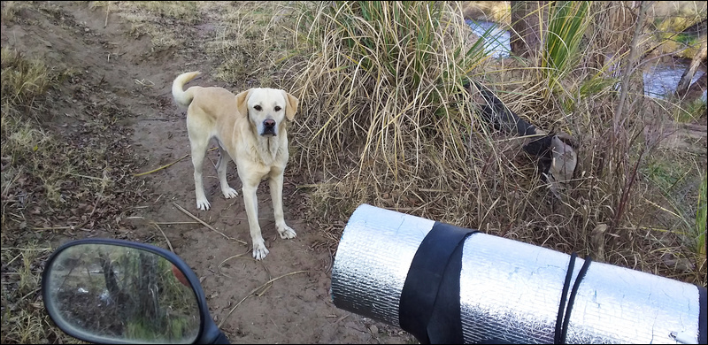
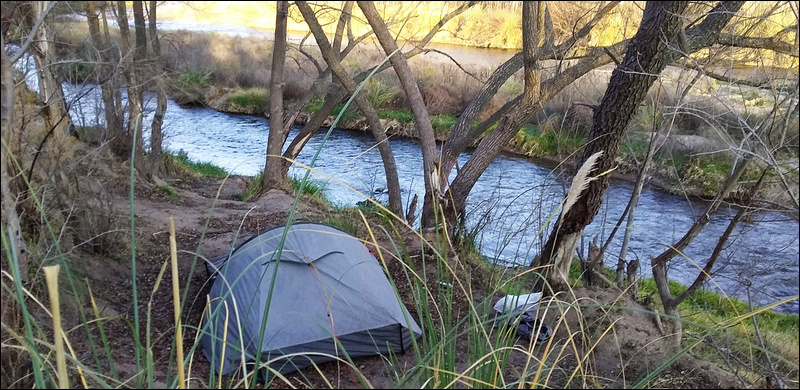
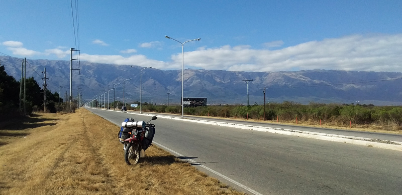
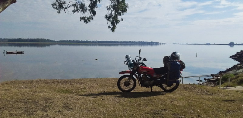
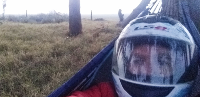
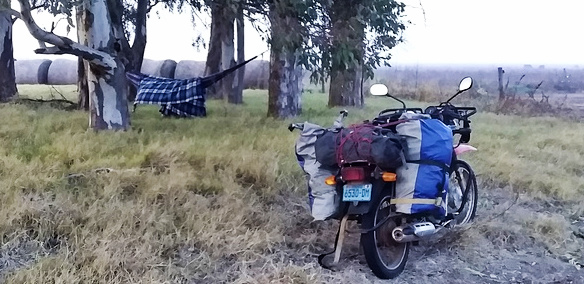
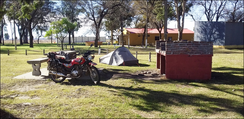
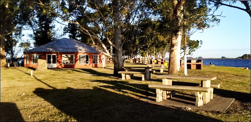
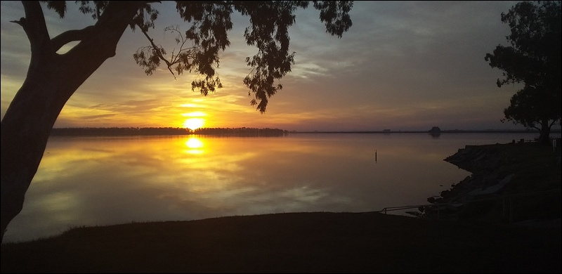
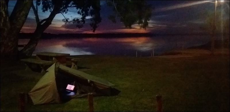




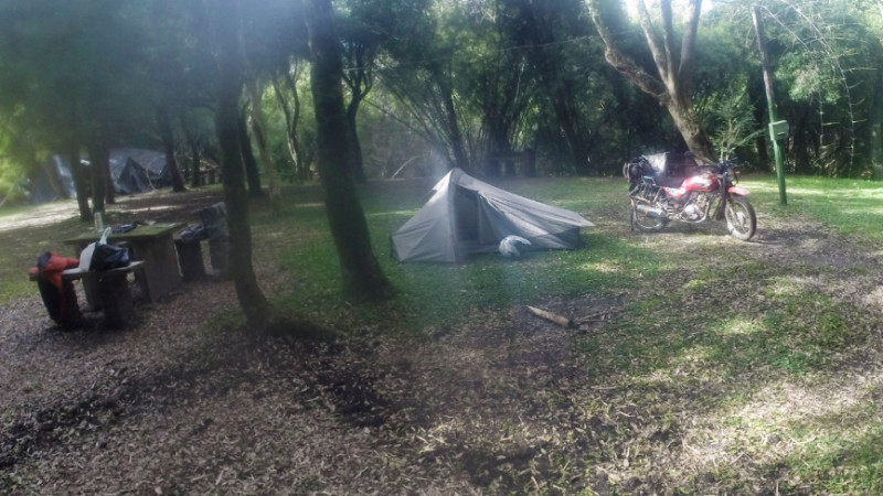

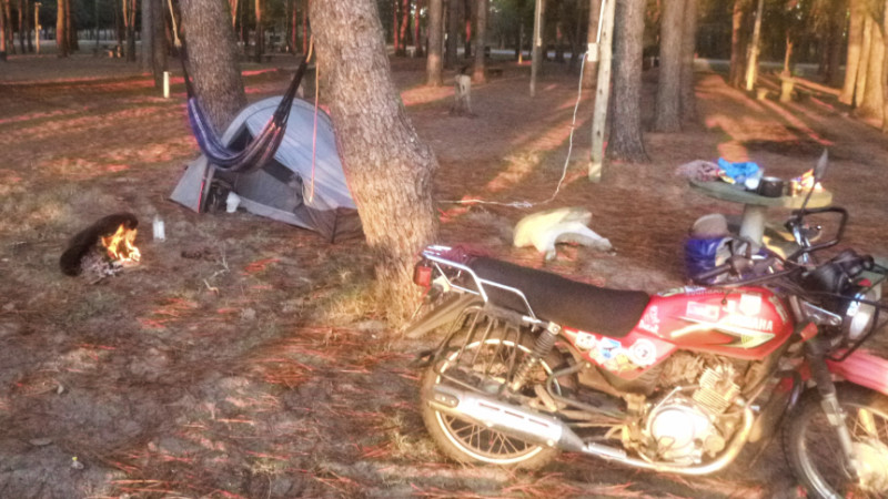

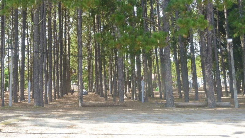
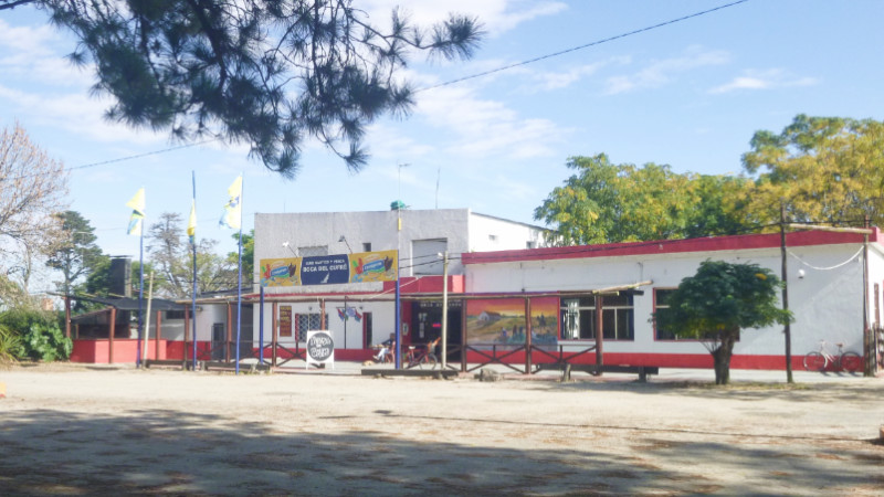
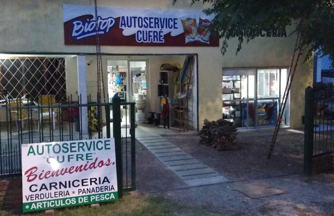
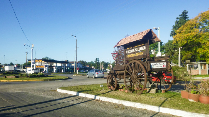
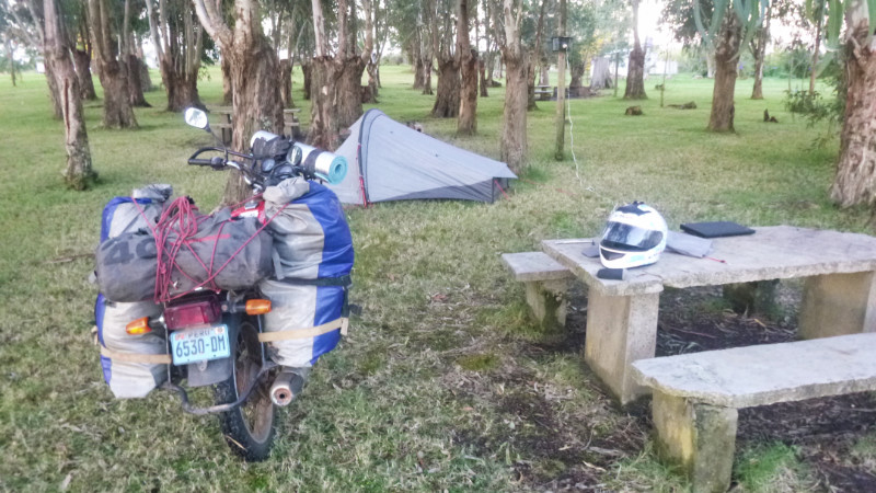
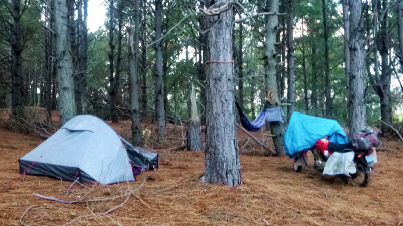
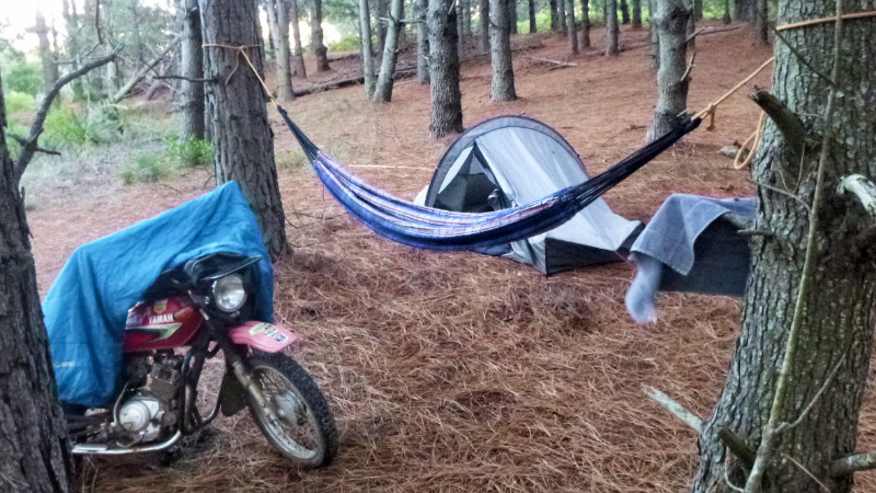
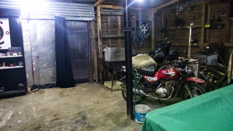
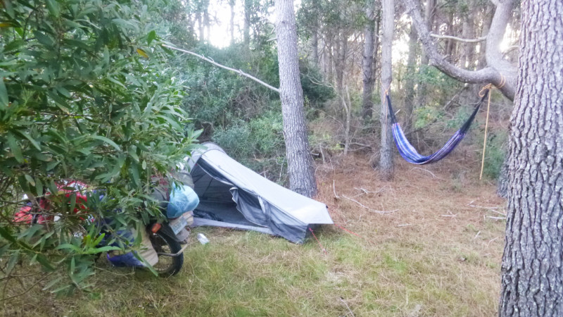
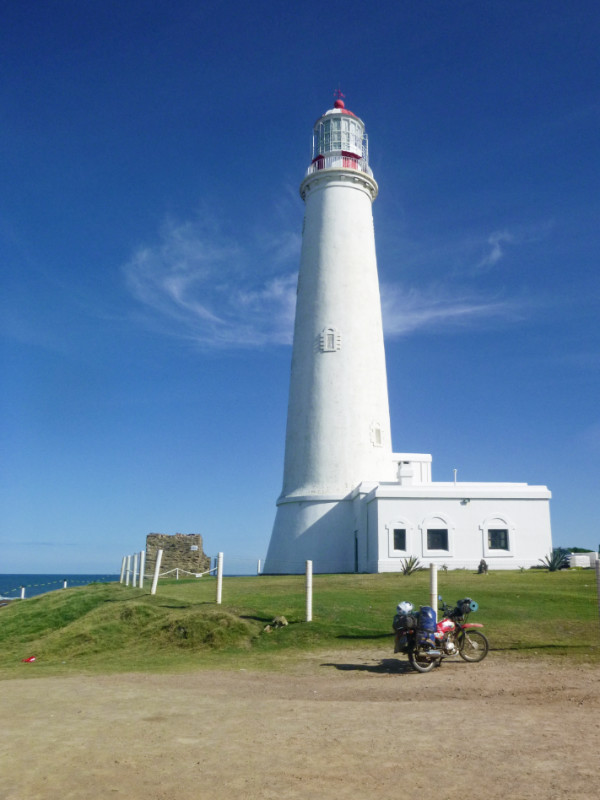
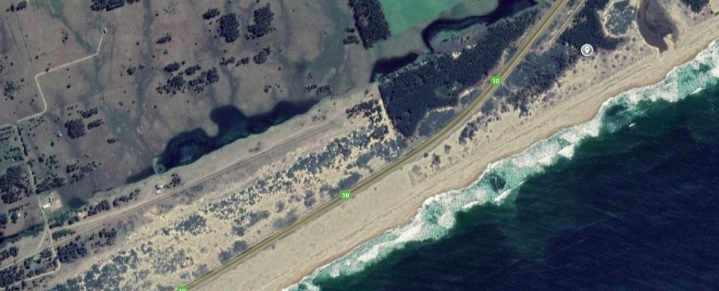
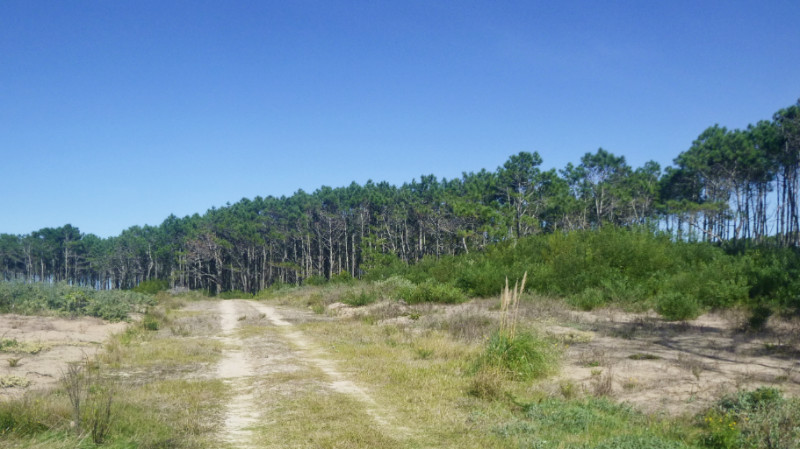

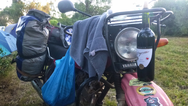

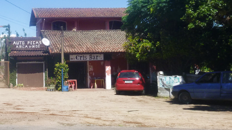
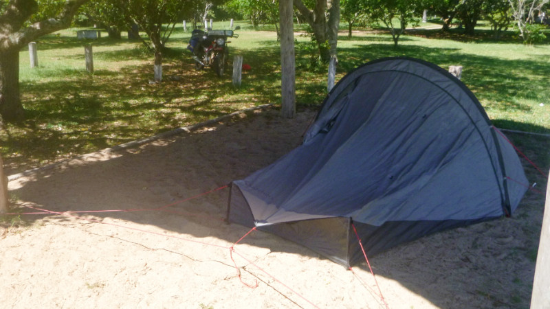
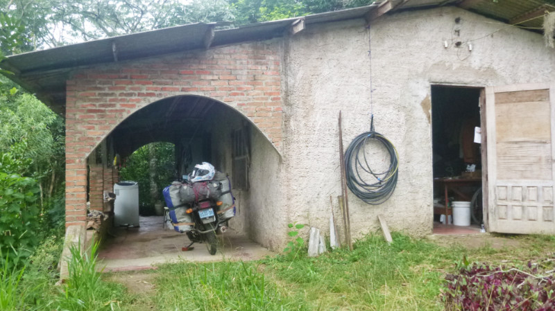

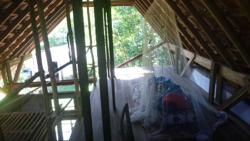


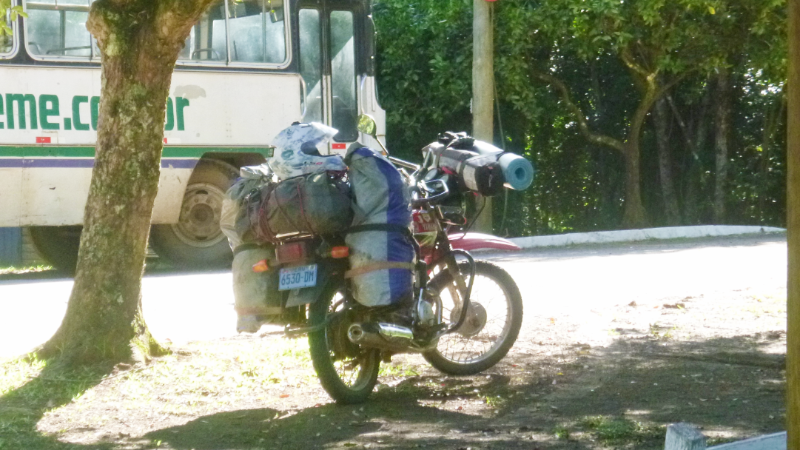
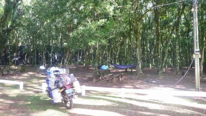
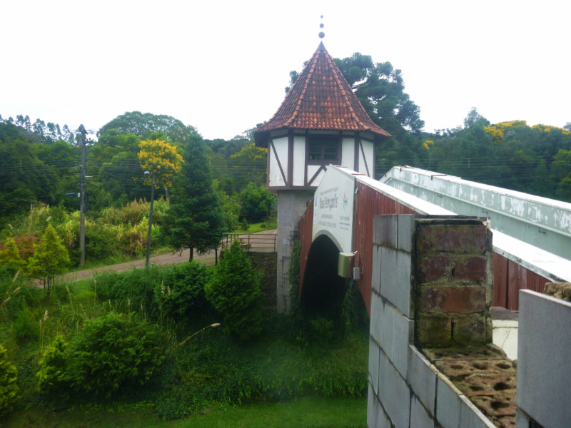
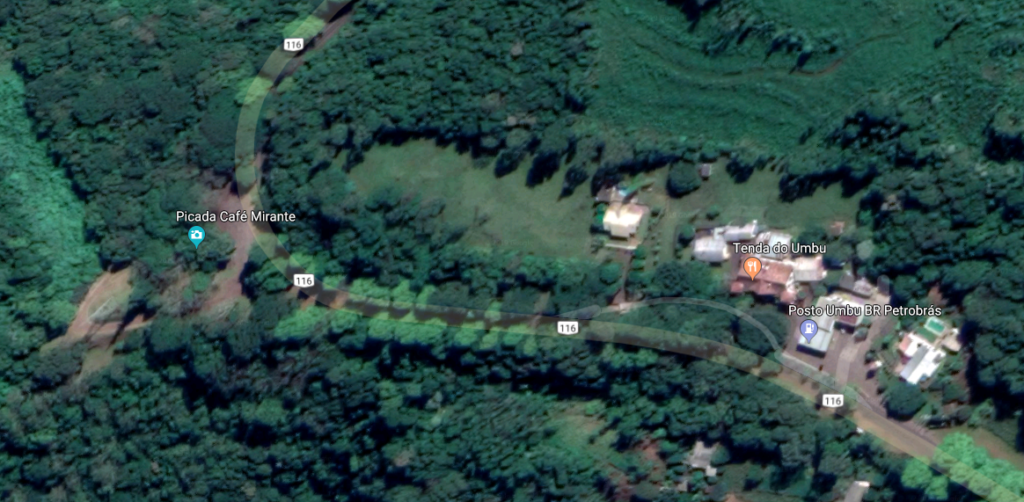
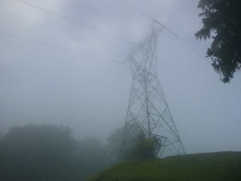
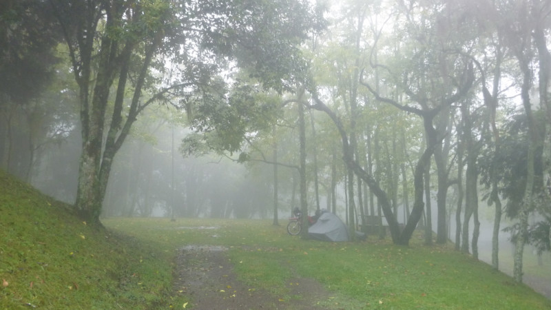
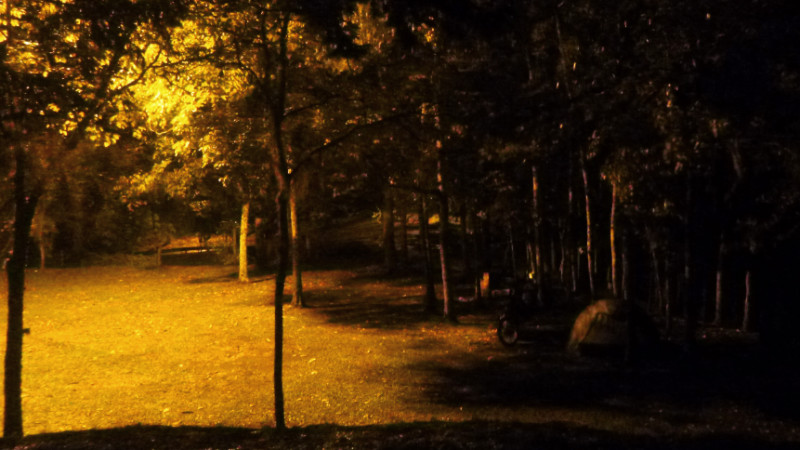

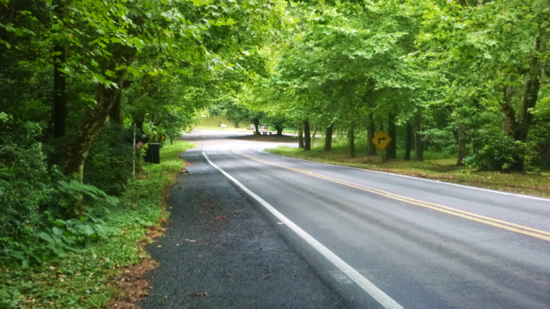
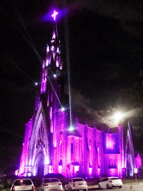

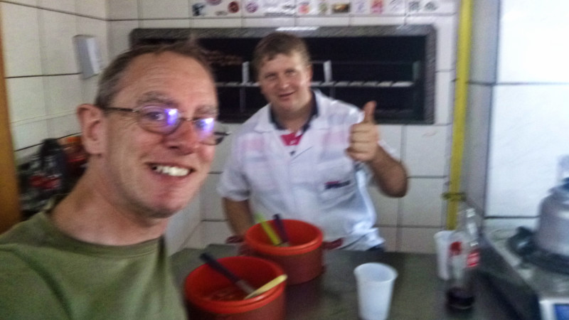
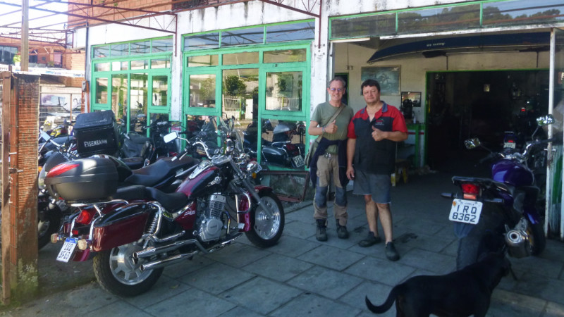
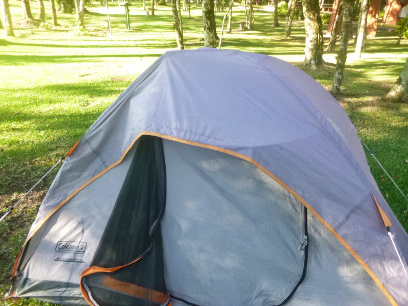
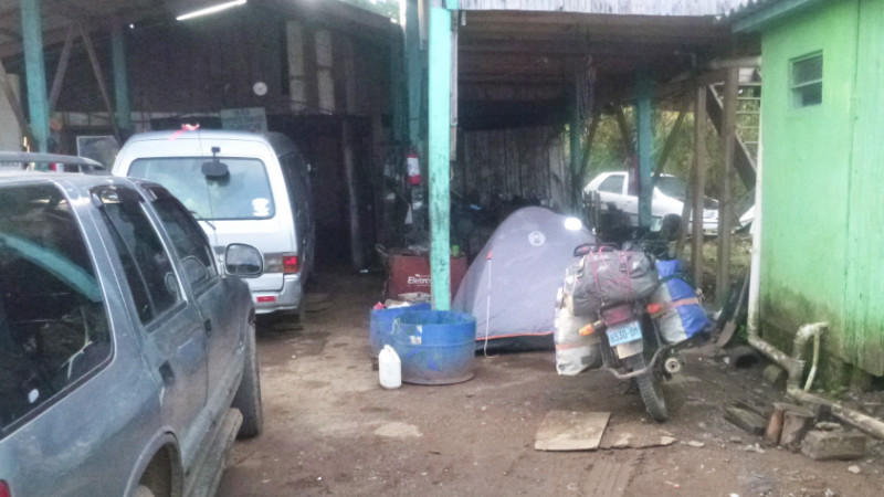
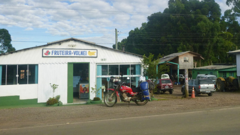 I AWOKE EARLY with the stale, oily air of the garage filling my nostrils and cool breeze ruffling the tent. Eager to avoid becoming a conspicuous obstruction to the day’s business. I’d packed away well before the 8AM opening time and wrestled the loaded bike out to the road to prop it on its stand close to the cafe door.
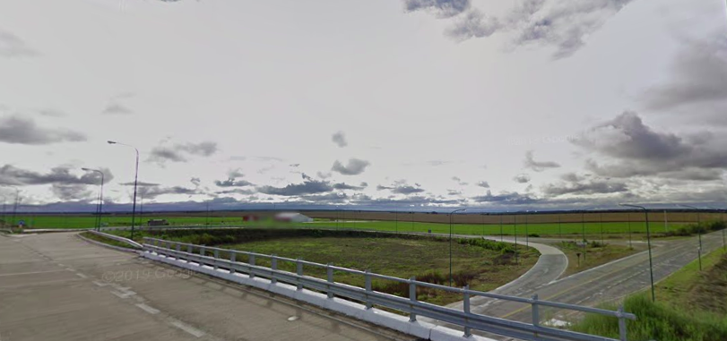
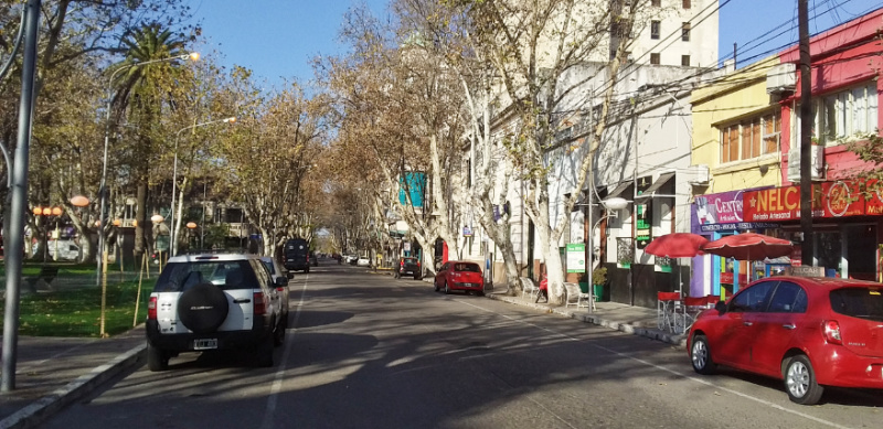
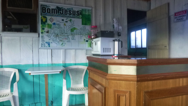 The empanada and milky instant coffee breakfast was but a sticking plaster on the my rumbling stomach. Expressing my gratitude to everyone at the cafe and the garage, I accelerated the couple of hundred metres to the gas station on the edge of town to discover a gleaming modern cafe wafting the irresistible fragrance of fresh ground coffee. When ordering, I forgot to say “Cafe com lieche sem asucre” – without sugar. The default seems to be served with plenty of it. Odd because it’s easier to add than remove.
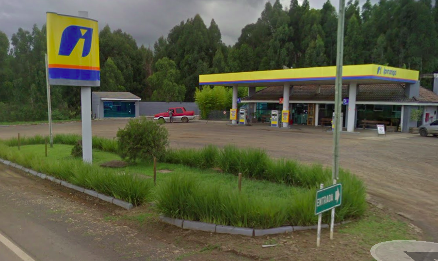 A woman with her family of three daughters at a table near the window eyed me with curiosity. Not many English people or Peruvian vehicles pass through Bom Jesus. The young girls spoke fairly good English and translated for their mother. The infrequency of these kinds of encounters in my journey tasted even sweeter than the coffee. Without interactions like this, punctuating long periods of solitude, I sometimes forget I even exist. Not that I think about it rather it’s the absence of thinking about it that gives the sensation. They left before I’d finished my syrupy coffee. The pump attendant topped up the fuel tank, and I waved a rolling goodbye across the forecourt and joined the quiet RS110 southward.
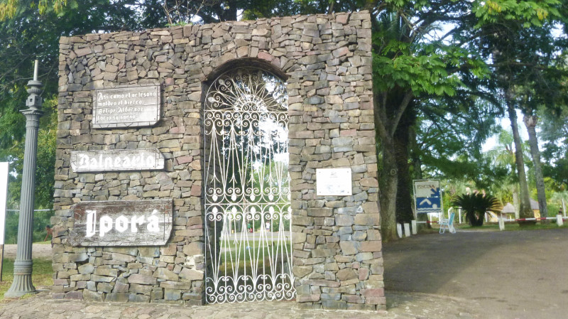
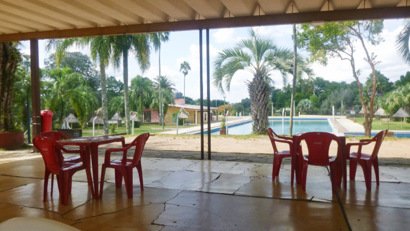
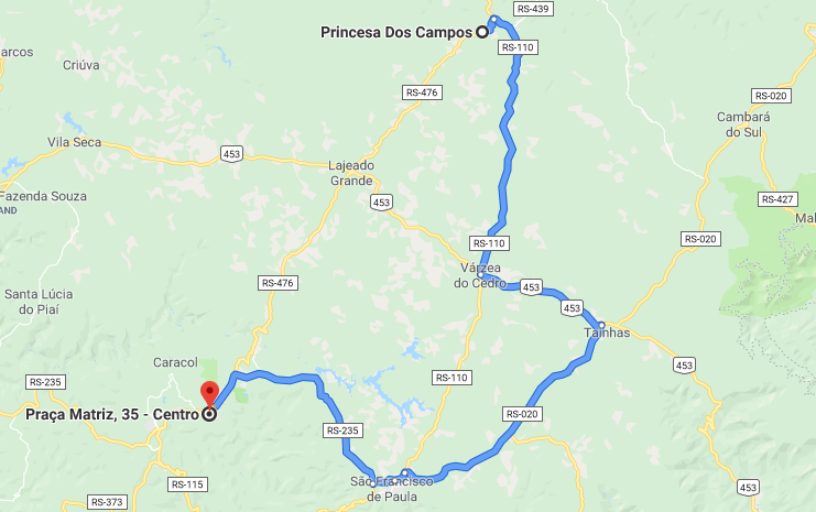
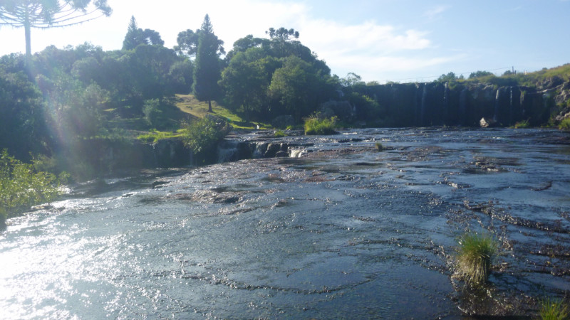
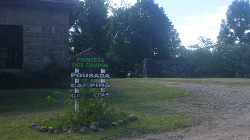 I caught sight of a small sign away from the road pointing off to the right, down an unlikely looking stony track past a non-descript restaurant sporting plastic patio chairs and tables on the porch. Spinning a U-turn back to the junction and 3km of gravel, dust and stone later I coasted over the dry tyre-worn tracks across the spartan lawn to park at the plastic chain drooped across the entrance of Princesa dos Campos.
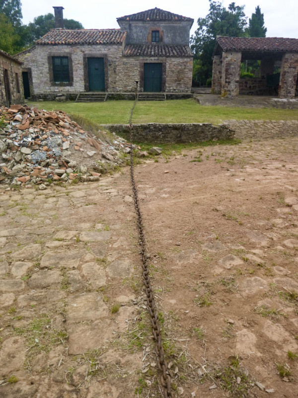
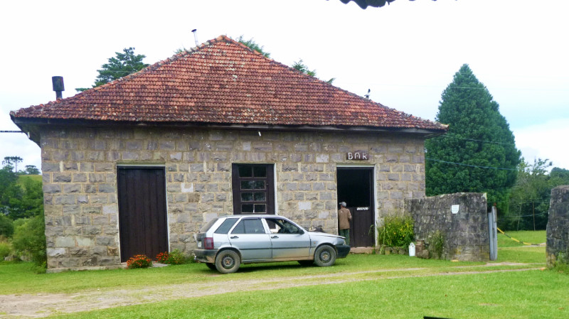 A crazy dog leapt in a barking frenzy around his earthen circle scuffed out underneath a tree, jerking his neck against a thick iron chain secured to the trunk by a frayed rope. A slender middle-aged woman strolled across the lawn to the gate to fail to comprehend my best Portuguese and retreated to find her husband.
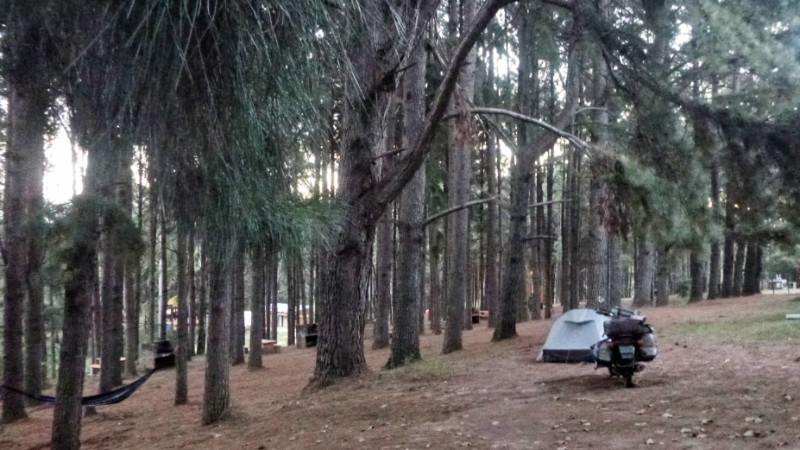
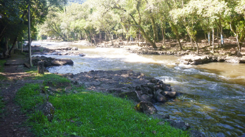
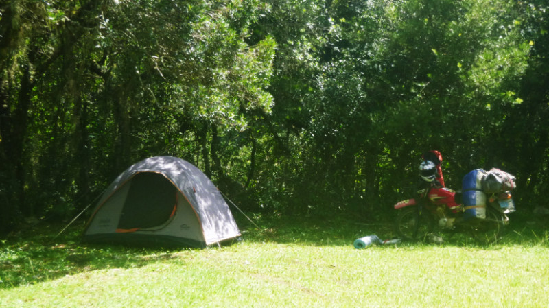 The price was R$30 a night but I offered R$100 for 4 nights and was booked in before noon, pitching my tent down close to the waterfall. I appeared to be the only guest here. Surprising for such an idyllic and well-kept site. There was work to do, a lot of blog editing to catch up on. This felt like the ideal retreat for working over a few days.
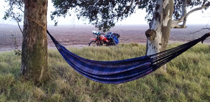
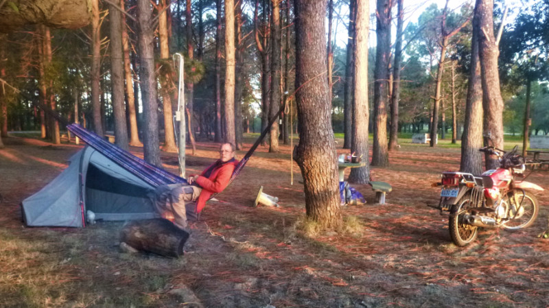
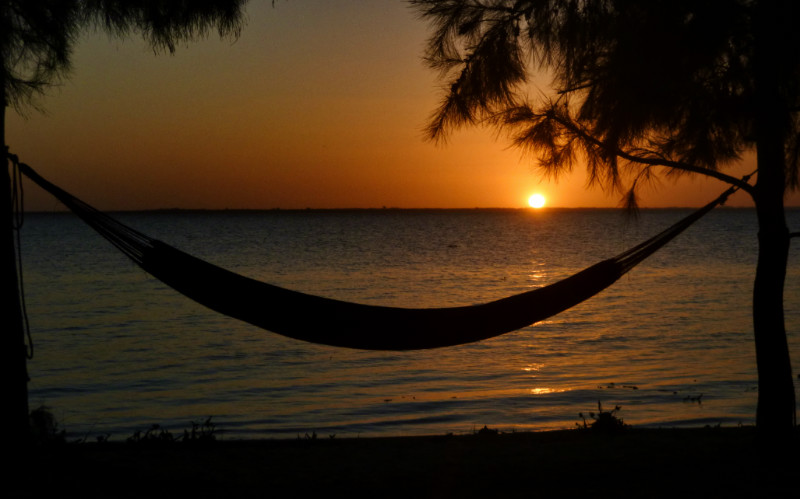
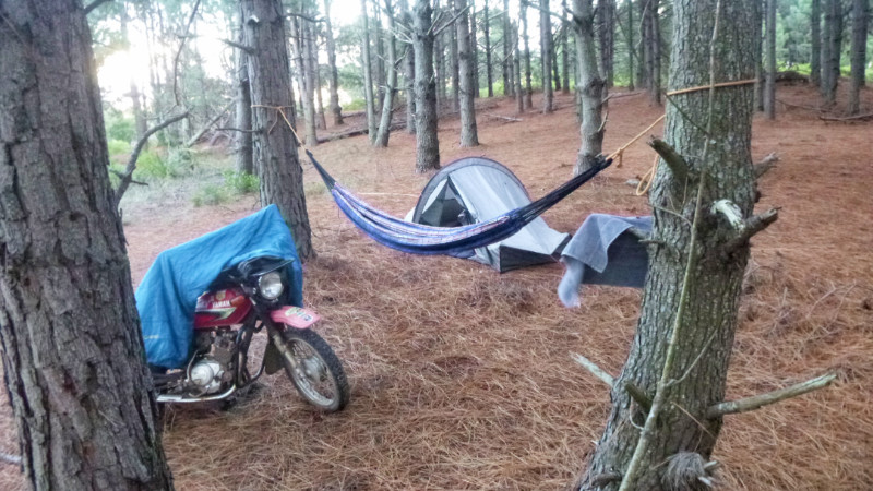
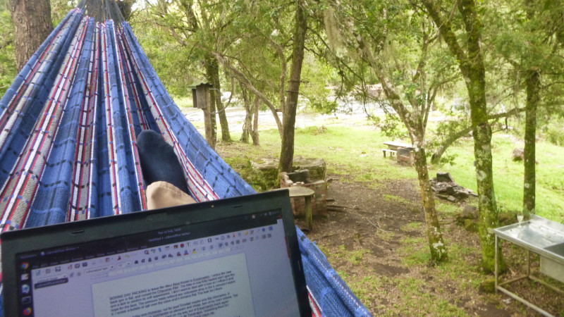 I strung the hammock up between the trees next to an electric socket, perfect for both writing and relaxing. On the third day, I was laid in the hammock pondering how to get more food – the store being 30km away – and noticed the man from the cabana up the hill and with his four boys approach to invited me for lunch. “Sim, Obrigado” and I followed them up to the cabana.
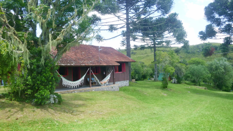 The boys spoke better English than the parents and we communicated quite well. From Caixas do Sul, they had arrived a couple of nights before for a short break exploring the nearby woods and swimming in the river.
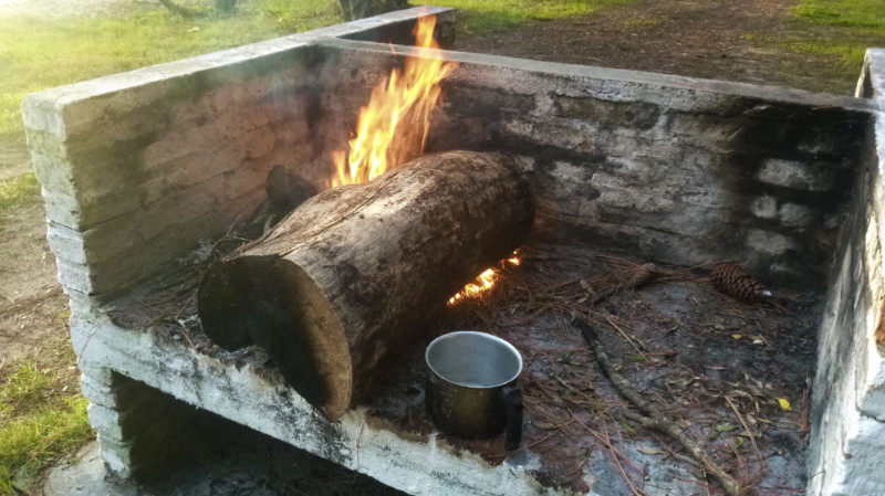
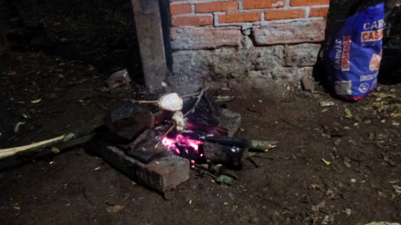
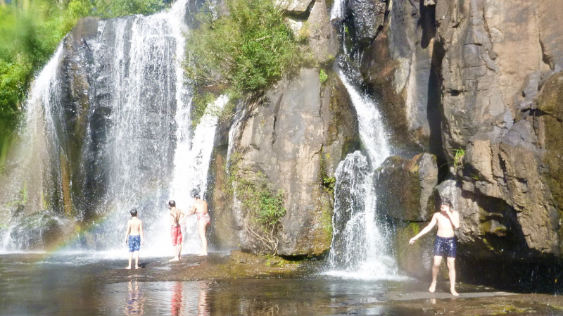 This was their last day. the boys had collected the spiny brown leaves from under the Araucaria tree and lit them in the grill. Flames roared up the chimney, smoke billowing back in the house.
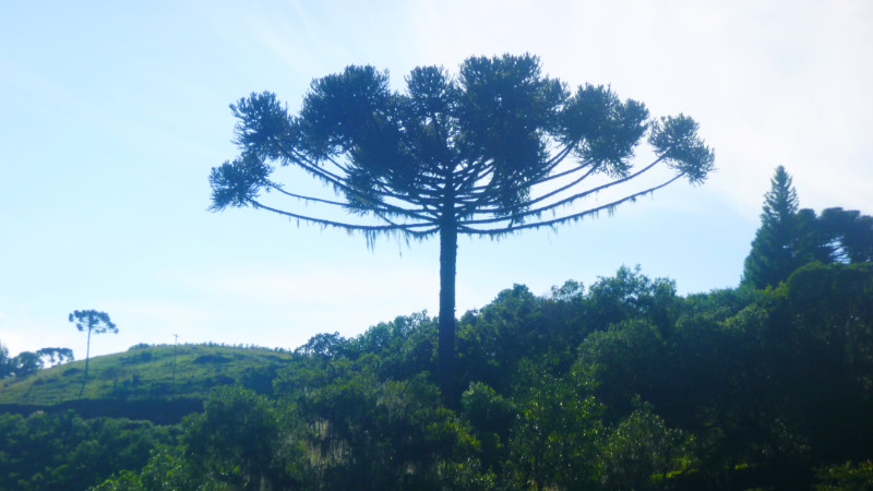 This was an enthusiastic kindling material never to be found again after leaving Brazil. We enjoyed a tasty barbecue with plenty of beer. After lunch, they started to pack ready to fo home, leaving me all the leftover food, bagged up with a couple of pans of pasta and potato stacked in the fridge. I had more food to hand now than I could remember since taking to the road.
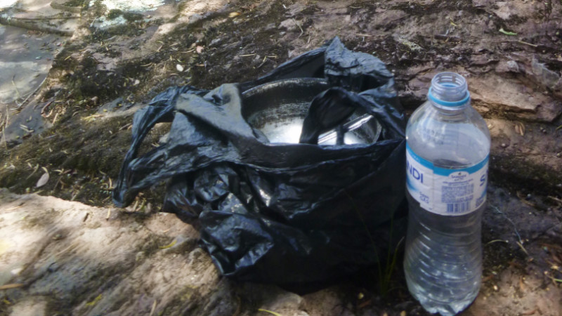 The next morning, I retrieved the pan of mashed potato from the fridge in the Cabana and wrapped it in a black plastic bag in the sun hidden behind a rock across the river to avoid its discovery and possible disposal while I spent a few hours writing.
 While I was busy in the restaurant another camper had arrived, pitching their trailer tent next to mine and making space shuffling my bike closer to my tent so I felt compressed into a corner.
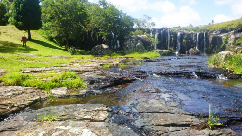 Pretty soon the rest of the site had filled up for the weekend forcing my hammock to be relocated next to my tent, between trees on the edge of our level, overhanging the drop to the lower level. Although it was a perfect hang and comfortable, the illusion of being suspended high in the trees was unnerving at first.
 Sharing food, chimarrão and chocolate cake with the family felt almost like Christmas. My own family was thousands of miles away but to be included in this one reminded me of the importance of connection and community. I tried not to overstay my welcome and retired to the hammock in the balmy darkness for half an hour before another two cars invaded the lower camping area, setting up tents, tarps and lights to rival a modest music festival. I quickly packed away the hammock and retreated to the tent.
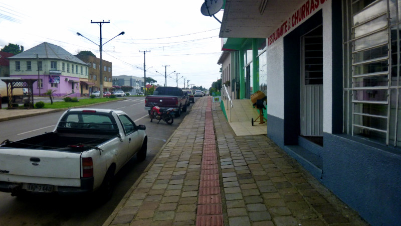 Now flush with cash, I took lunch at a basic Comedor and buffet, plates of fresh food covered with clingfilm. I was sat down, fussed over and welcomed like long-lost family. Plain but fresh food served with love and generosity.
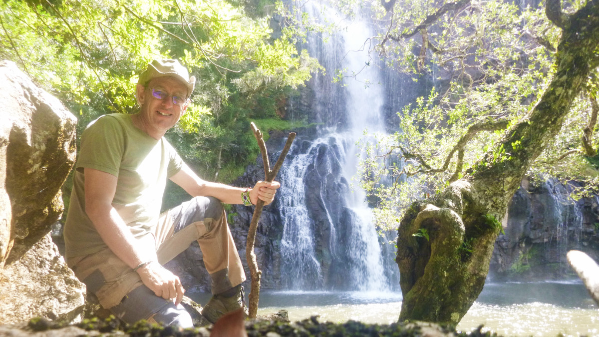 A couple of random days, the owners told me they were visiting family and locked me in the site until they returned. I didn’t mind. I had nature as my companion, a valley of deep woods and shallow rivers. Down the side of the hill, overgrown, dappled sunlit trails weaved between the trees and streams. The warm, still air beaded warm perspiration that trickled down my spine and the sense of shaded seclusion encouraged me to strip off and bathe in the crystal babbling waters; a timeless experience. Invisible from above the valley, this was God’s secret garden. All I was lacking was a woman, an apple and a snake…
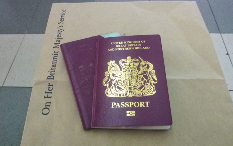
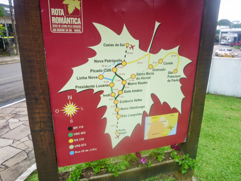
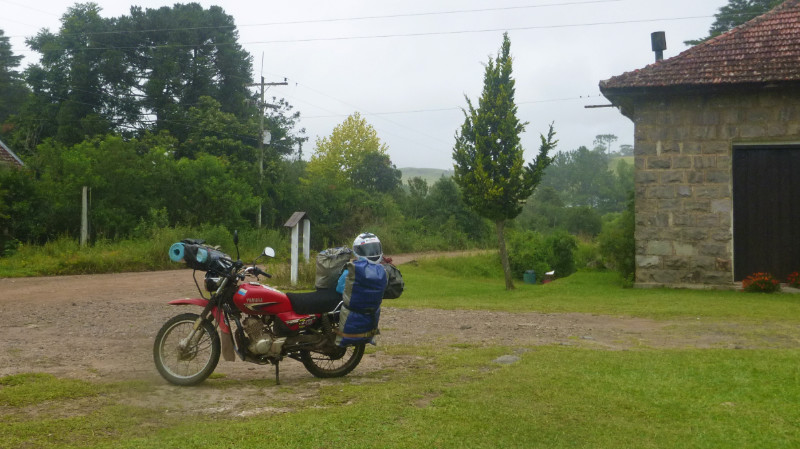 welve days after my arrival, it felt time to move on. Conscious of the date on the rubber stamp in the passport, now halfway through my three-month visa allowance in Brazil, I still had a lot to see before I needed to run for the border and I reluctantly loaded the bike and, instead of turning south on the more direct and rugged-looking 70km trail of the RS476 southwest to Canela via Lajeado Grande, turned northeast to join the RS110 and the paved route in a wide arc via São Francisco de Paula to the south because I liked its name…
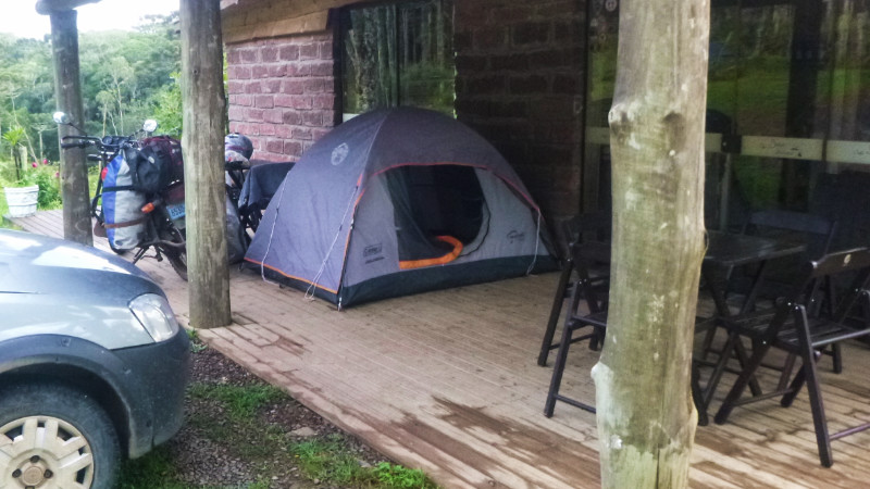 THE VERANDA OF Cafe Boca do Serra was an ideal haven for drying out a few items of clothing and would mean the tent would be dry to pack away in the morning too. The road was surprisingly busy during the night, trucks grinding their way up the stony hill but I slept well without minding too much.
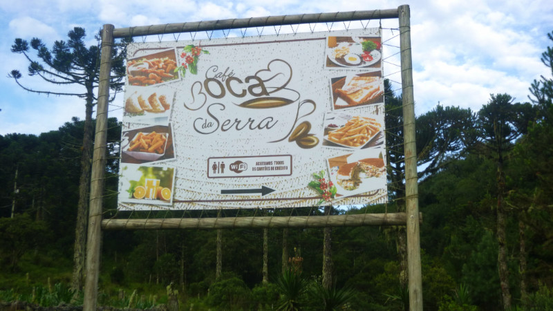 I was up and packed away before the cafe opened. I didn’t need to plot my route. I already knew the way back to Sao José dos Ausentes and after coffee and breakfast, I rattled over the stones back towards to check on the dog I had abandoned a few days ago. The way I had left her sat uncomfortably with me and I wanted to settle my mind more than anything else.
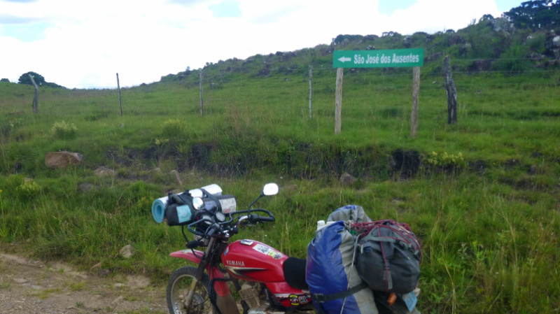 Along the dusty RS020, stones popping out from under my tyres, a group of offroad motorcyclists spread out over the track all dressed in bright motocross racing gear chatting amongst themselves. I stopped to say hello exchanging a few words in random broken languages. I bade them “Tchau” and continued north at a leisurely pace before they raced past ten minutes later, hare and tortoise fashion with me with my home on my back. I stopped briefly at where I camped in the pines where the dog originally appeared to see if she had returned but the place was deserted and quiet apart from the sound of my horn as I cruised down the track. No point in hanging around, I’d be back to camp here later anyway.
 5km of Asphalt brought me back to the Sao José dosAusentes I thought I’d never see again and pulled into the petrol station to meet the Waving and cheering Rideout group again. they fussed over my Peru plate and jostled for a group photo around the bike. I should have taken a picture but I was keen to get down to the cafe to see if the dog was there. Saturday, the town was quiet. Ordering a coffee and sitting at a table I said: “No little dog today?” The proprietor recounted to her assistant about the dog that orbited me around the table three days ago but no mention of seeing it since.
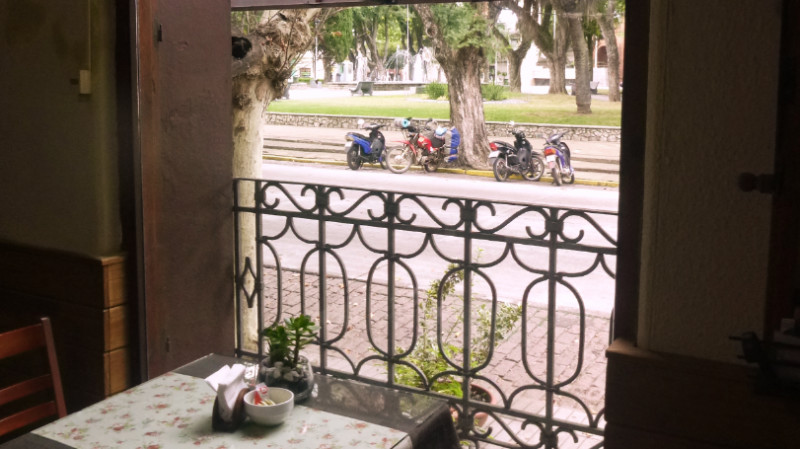
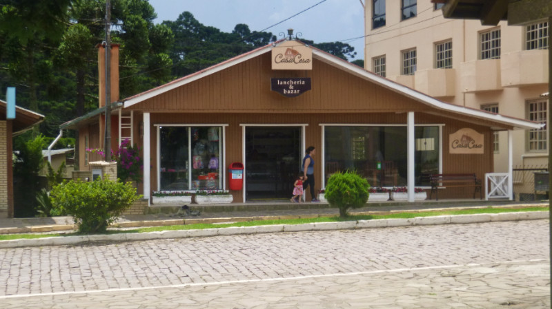 While I drank my coffee and enjoyed some cake, the afternoon clouds rolled in and unloaded their heavy burden via streaming silver rods that shattered themselves on the cobbles. I ordered another coffee and sipped its milky warmth while looking out of the window. After the rain stopped. I strapped on my helmet and swung the bike back up the hill against the streams of water bubbling down the edges of the street, onto the main road turning back to the woods. The air was cold through my fleece and more rain felt imminent from the grey sky. The rocky slope down to the woods looked perilously slick. I stopped the engine and rolled down the slope using the clutch as a rear brake so I could release my foot from the rear brake pedal and steady myself using both legs. I slid from side to side over the rocks but did not fall. My tyres cut a tell-tale trail in the mud along the track and into the woods. My tent was up just before a heavy shower. Returning to the trail to disguise my track I’d found the weather had wiped it for me and I unpacked what I needed for the night.
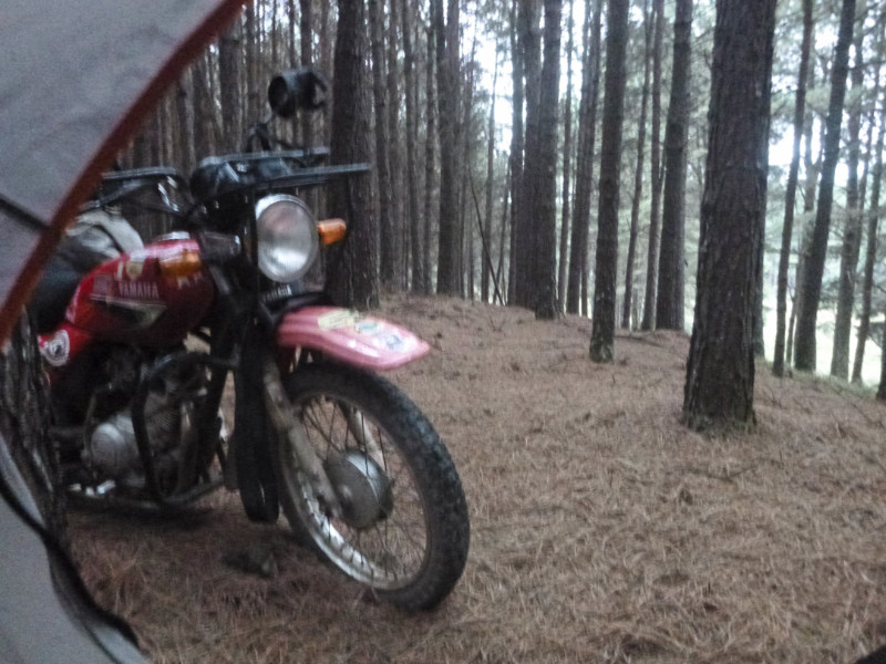 It rained for two whole days and nights. No phone, kindle, power or wifi. All I had were my thoughts and the rain fizzing on the tent between the drumming drips from the branches of the pines; the longest continuous spell of rain I’ve known in South America, cold too and I huddled down in my jacket and sleeping bag.
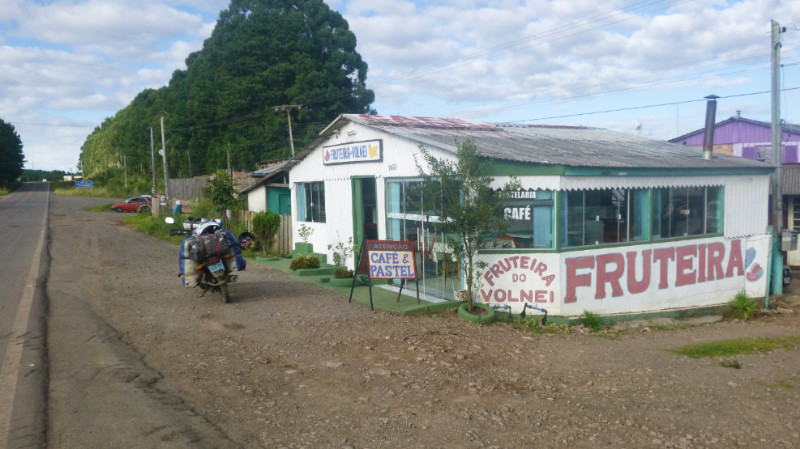 I set about looking for a new camping spot. Bom Jesus is busier than San José. No pitching opportunities before entering the town from the north and nothing after exiting the town to the south; more fences, less open land or accessible woods. I swung a U-turn back north and 2 km to Bom Jesus and stopped at a small cafe and asked for food. Either Cheese Pasty or Meat Pasty was as far as the menu extended washed down with some instant coffee.
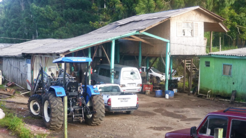 The wifi I had from the Cafe was still strong here and I had an electric socket within extension lead distance. The cold wind wafted the smell of engine oil and rattled the unsecured fabric of the tent due to the inability to use tent pegs.
 CASA CESA LANCHERIA, Sao Jose dos Ausentes. I was ready to go and busied to pack up the bike. The dog scuttled around my feet but when I finished and looked around she had gone. I took that as my cue to leave avoiding an awkward moment and then felt an unexpected sense of guilt and loss as I exited the city.
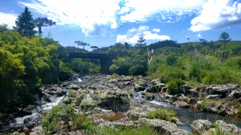 I found the stony track difficult to exceed 15km/h and rattled along the dusty trail for hours in the white-hot sunlight. I met a hiking couple and no matter that I announce “Falo poco Portugues,” they continued talking anyway and I picked out what I could understand.
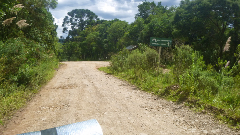 Stopping to rest next to a river at the end of a bridge, Adriano, a rider from Santa Maria on a Suzuki Vstrom pulls up next to me and we chat a while before he hands me one of his stickers and rumbles off over the stones. I follow his dusty wake a minute later. A sign to Cambara indicates a hairpin junction and I turn right, 180 degrees and down the hill. 5km further on, I meet Adriano coming the other way on his Vstrom telling me Cambara is straight on at the hairpin. We both got caught by the half-obscured sign. I wondered how far he actually got as I shuffled a three-point turn on the gravel track.
 The Tourist Information office gave me a leaflet of a local campsite that looked far too expensive. Tourist Information here had no WiFi so I left to find a cafe in the town. With Wifi, I could see that the canyons weren’t too far away and felt sure there would be camping opportunities along the way to one of them. I chose Fortaleza then paid for my coffee…
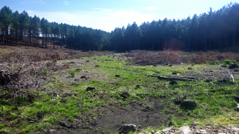 I judged myself to be close enough, out of sight of the road and the track looked as if it only services logging traffic. The sun had just sunk behind the treetops on the western ridge but I had ample time to break out the tent I’d found at Bom Jardim da Serra and work out how to pitch it.
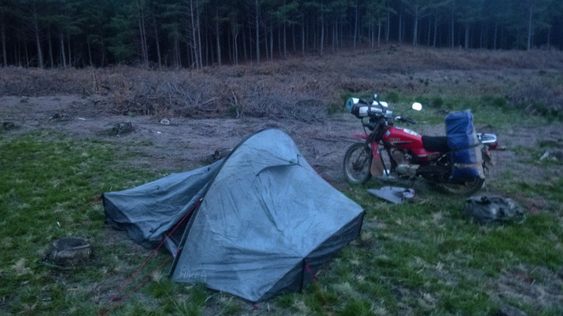 The tent was soaked through but clean, free of mould and in good condition. My mattress kept me from wetting the sleeping bag on the groundsheet. Twilight fell and the logged forest became deathly silent in the darkness except for a single witch-like scream of an unknown creature that had the sent an involuntary shudder down my spine. Earlier, I’d seen a small wolf-like creature cross the road. I wondered if it were that.
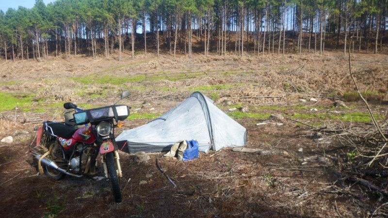 The dew soaked morning awaited the sun to climb over the eastern tree line to dry out the world. I wanted the tent one dry before packing it away but I had time to wait and so emerged from the damp interior into the cool, dewy air to bathe and shave in the nearby stream. the water looked clean, and healthy looking plants appeared to confirm it but whatever minerals the water carried prevented the soap from lathering.
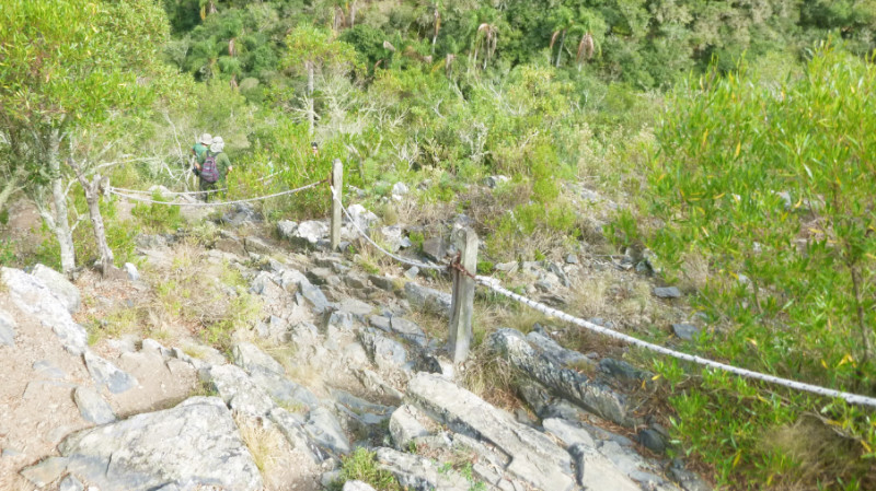
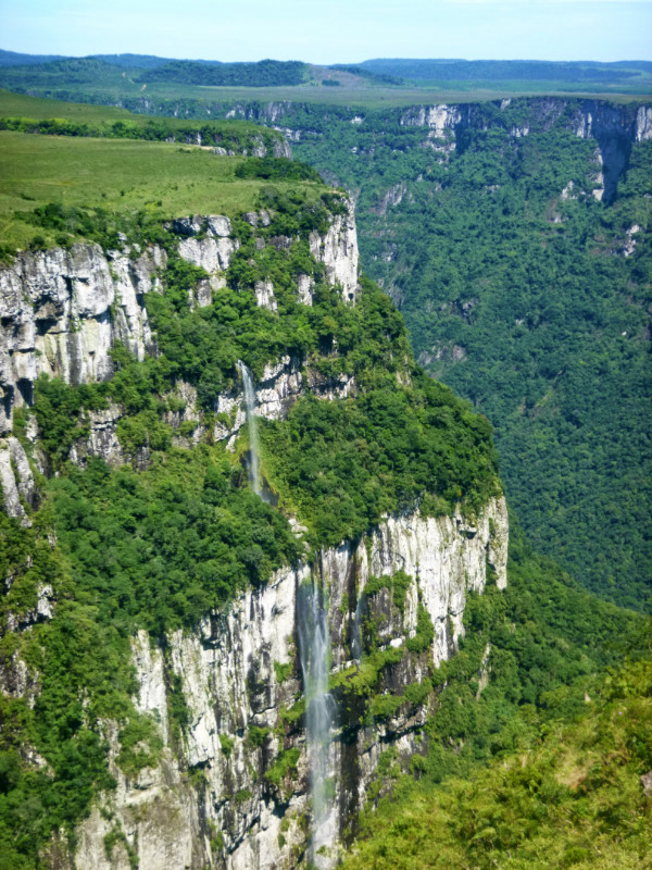 From the car park, Fortaleza Canyon is a fair hike along a rough stony path that winds its way up to a summit to the Northeast – may be a kilometre and a half. It’s the best place to start as you can see all the other paths that follow the rim and back to the car park. Looking at it turned out more rewarding to the walk. There was nothing to better that view.
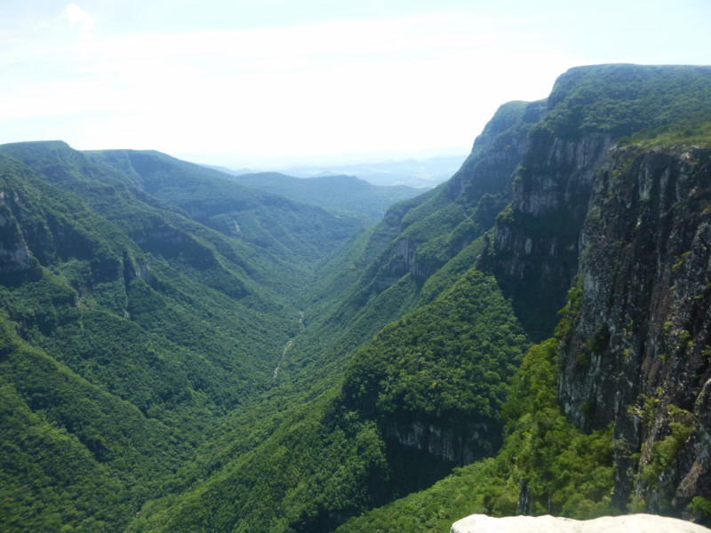 Back at the car park, a family from Rio de Janeiro had noticed my Peru plate and approach me as I’m about to leave. They follow my account of where I’d been with interest and then part with a firm handshake. I take off before them but they soon overtake me with a honk and a wave, leaving me in a cloud of dust hanging all along the trail. A few km further on I see their car stopped with a pile of luggage on the verge. A puncture from one of the large pointed rocks. I stop to help and offer some problem-solving assistance for assembling the peculiar jack and some grunt to slacken the wheel nuts. I don’t feel I actually did a lot but they’re excessively thankful.
 I followed them into Cambara and passed them as they pulled into the tyre shop and I took the next bend to the cafe I’d found yesterday to recharge the laptop and upload some pictures. Checking the map, Itaimbezinho Canyon was just 20km south, so I checked the route out of the city and tried my luck at arriving before 5pm closing. It was only 3.30 but the state of yesterday’s track left some uncertainty in the timing. Exiting the city I was disappointed to see the end of the asphalt right on the city limit. Fortaleza had the decency to offer a few km into the countryside, at least to the edge of the park.
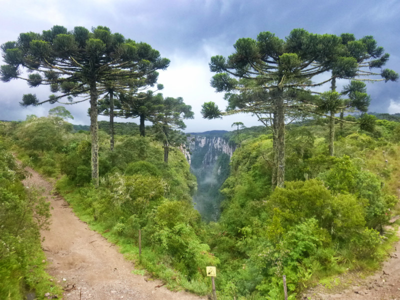 Itaimbezinho was different. a long stretch of undulating ‘terra’ although offering a finer surface than the rocky road to Fortaleza. At the gate to the park, 2km of opulent asphalt leading to a modern and spacious visitor centre. I had cheated the angry thunderclouds all the way from Cambara to the gatehouse but not between the gatehouse and the visitor centre when they released their heavy load. I walked into the building just as the water was starting to penetrate my base layer and browsed the visitor exhibits indoors while the shower passed.
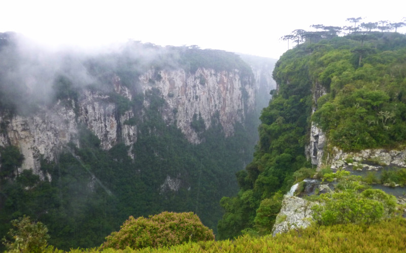
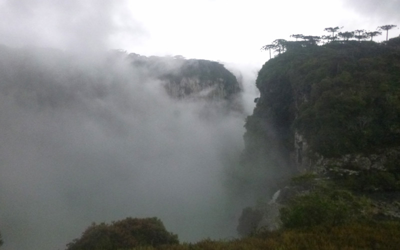
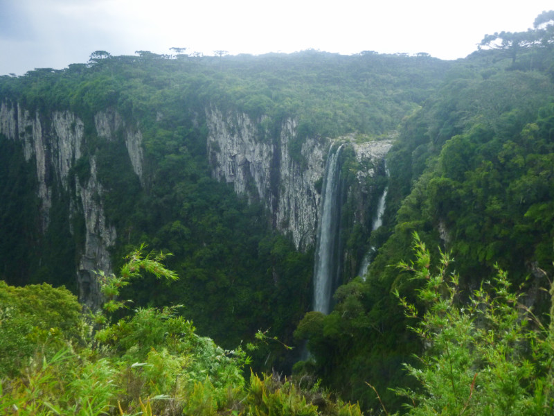 Itaimbezinho is a more compact site, better organized than Fortaleza and more picturesque. The rain had eased off as I walked the trail but the Storm was pushing clouds through the canyon and rumbling away in the distance. The next downpour held off until I returned to the Visitor Centre and I joined the staff indoors waiting for a break in the torrent so they could close up and go home. the storm eased off enough that they could make it to their car and one of them gave me a disposable rain mac to encourage me on my way. It wasn’t raining hard but enough to soak through my jeans again within half a kilometre. Visibility was difficult too. With the rain on my visor, I couldn’t see the stones too well but the potholes illuminated themselves with reflections of the silver sky.
 My mind set about working out where I was going to camp. I remembered passing a cafe on the way that had a grassy patch in their car park. Perhaps they’d let me use that. I pulled in and waddled to a table like John Wayne in an attempt to keep the wet denim off my skin. After warming up with a couple of Coffees and a sandwich, I asked if I could possibly pitch my tent in the car park on their patch of green grass. 30 reals was the short answer but if I didn’t need the shower or WiFi, it would be free if just to ‘pose’ for the night.
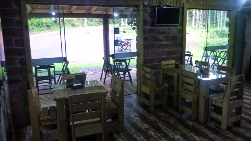 I explained that I didn’t need WiFi or a Shower. Technically, I had just had one, but I would buy breakfast in the morning. The rain hammered down again. Daniela told me it would be better to pitch in the porch because it was so wet and safer from the roaming cows and horses. Her husband cleared a table away to make room. I ordered a beer to round off the day and the cafe closed behind me as I stepped out to pitch the tent.
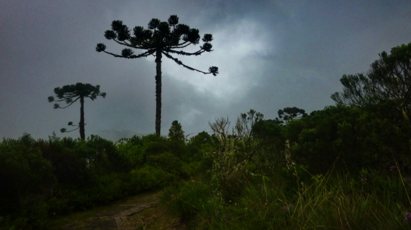
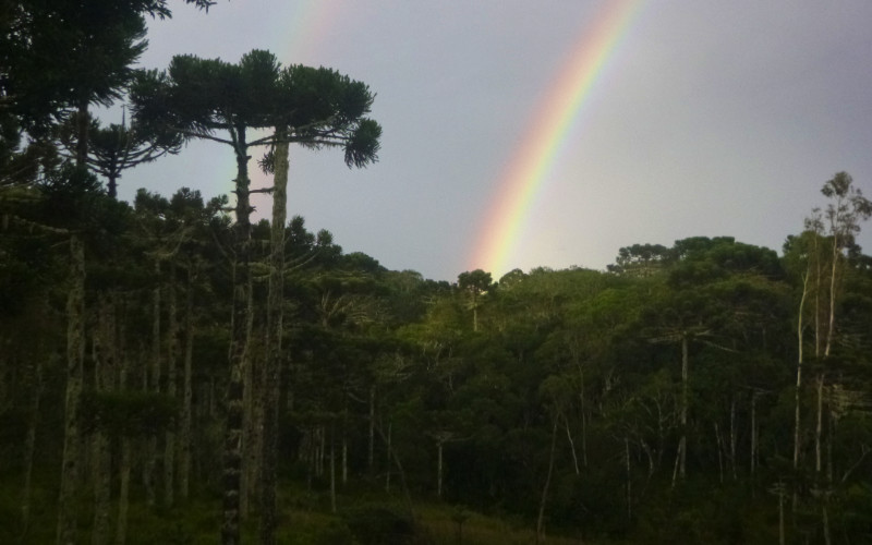
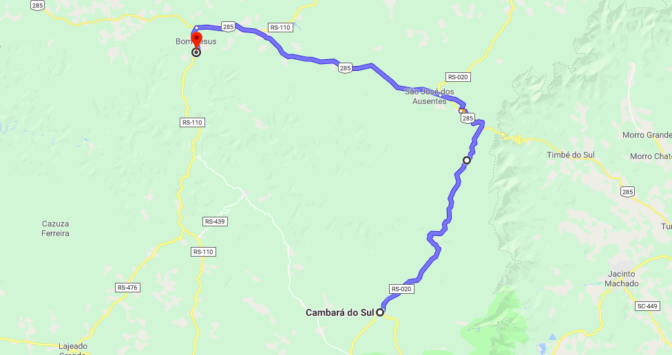
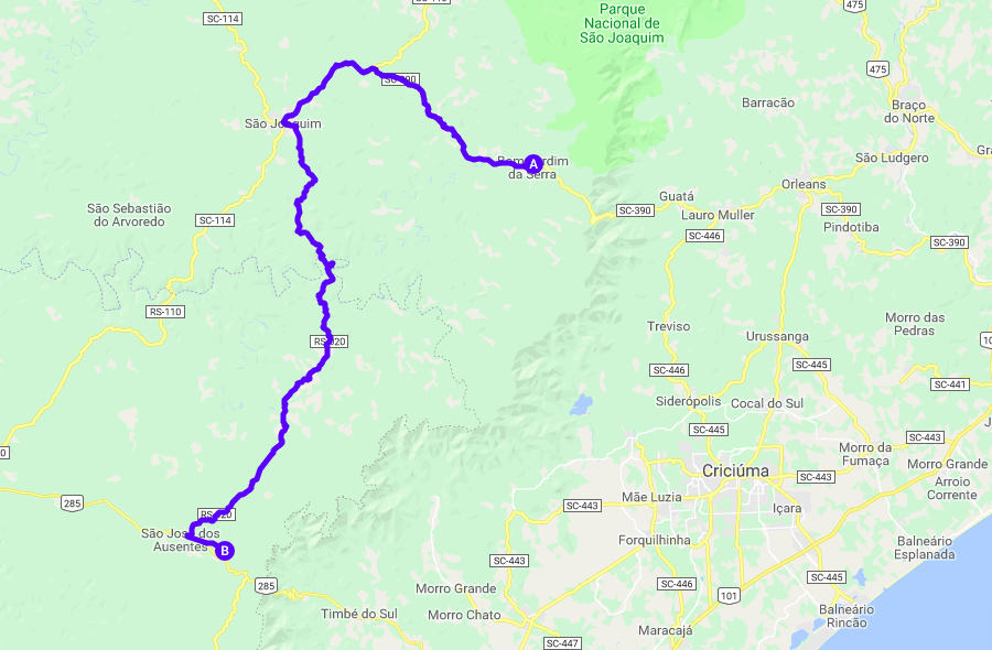
 CAMBARA DO SUL. A very innocent looking 165km blue squiggle on Google Maps. I planned to pick up the RS020 40km away at São Joaquim. I reached São Joaquim quickly over the silky smooth road surface between the alien looking araucária trees.
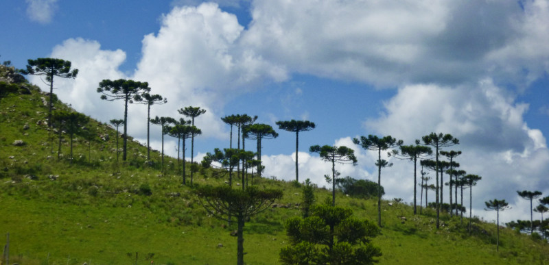
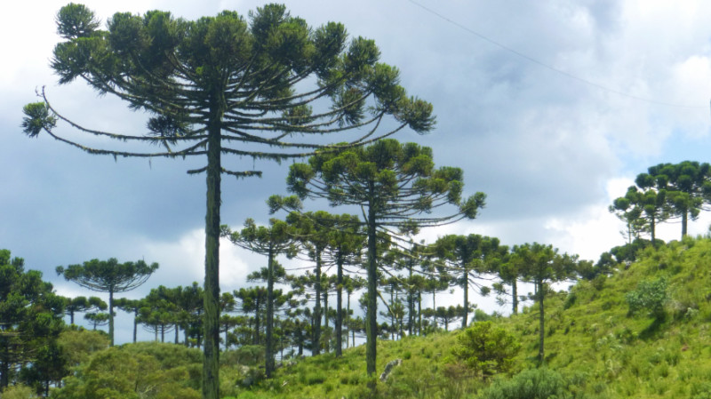 Thereon, without GPS, the direction to the RS020 out of the other side of the city became vague at best. I pulled in to the Tourist Information office just as it started to rain so I made use of the Wifi and shelter to try to memorise the route on google maps. The rain was slow to pass and eased just enough for me to surrender to my impatience and took to riding in the passing shower’s drizzly tail.
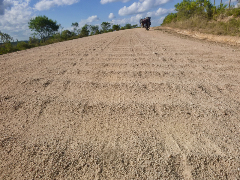
 Two blocks northeast and a right turn looked straight forward on the screen. But riding on it didn’t look like a route to anywhere. The centre line of the road out of the city slowly dissolved into the wet asphalt and the road surface gradually blended into the surface of the earth. A stony track like this wasn’t my idea of a road that deserved a designated route number and, until I could see a signpost, I was uncertain I was on the right road.
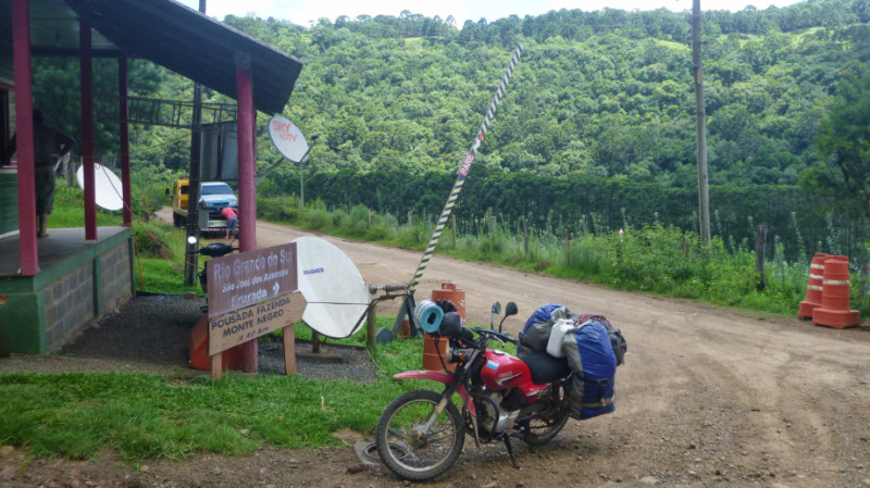 I had no idea why it was there but I passed through it with the advice to follow the river, not that I could see it from the road along the way.
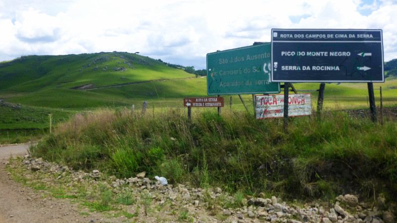 At a junction, a sign pointed left to Monte Negro, recommended to visit but I wasn’t in the mood for the extended 20km battering there and back again over stone and gravel. My stomach was complaining about missing lunch and I paused across the river bridge into Silveira to see if Google maps was still open on my laptop and check for location and the proximity of cafes. The laptop had slipped out of standby. It sometimes does that when the battery shakes loose. This means that a full restart loses the cached web pages that were open and instead shows the little dinosaur and reports “There is no Internet connection.”
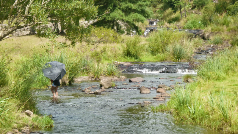 To my left, a young mother with her baby daughter laughing and splashing in the shallow rapids of the river beneath the shade of a broken umbrella. Life to the left, death to the right. Bookmarks on an existential moment in an uncertain journey… a reminder for gratitude for what I have while I have it, perhaps…
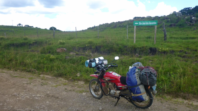 The late afternoon storm clouds start to thicken, right on time, as if by guarantee in this part of the world and I arrive at glorious asphalt at São José dos Ausentes under a matching grey sky. I accelerate over the rotunda and left along the BR285. The race becomes against the weather instead of the fading light. If I could make Vale De Trutas or the Mirante near Timbre do Sul I’d be happy but the rain beat me to it. The asphalt ends suddenly at a sharp right dogleg that degrades into dirt track and the choices are: up, following the muddy track or down over the rubble, into a gateway to follow a wide rocky track bisecting a pine forest. I opt for the rocky entrance and hope for shelter in the trees.
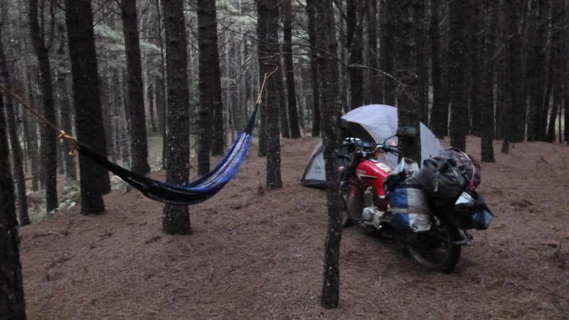 This track had been banked, carved and levelled of the undulating landscape, making entering the woods difficult as there is either ditch or embankment at the edge of the track. A gate suggests this is a driveway to farmland and encourages a U-turn but I finally notice a level section where the land rises to the level of the road to be able to turn off the track and into the trees. With the rumble of thunder and spattering of rain, I’m eager to pitch the tent so I power through the deep carpet of pine needles as far as possible into the woods until the ground slopes steeply down to a wire fence.
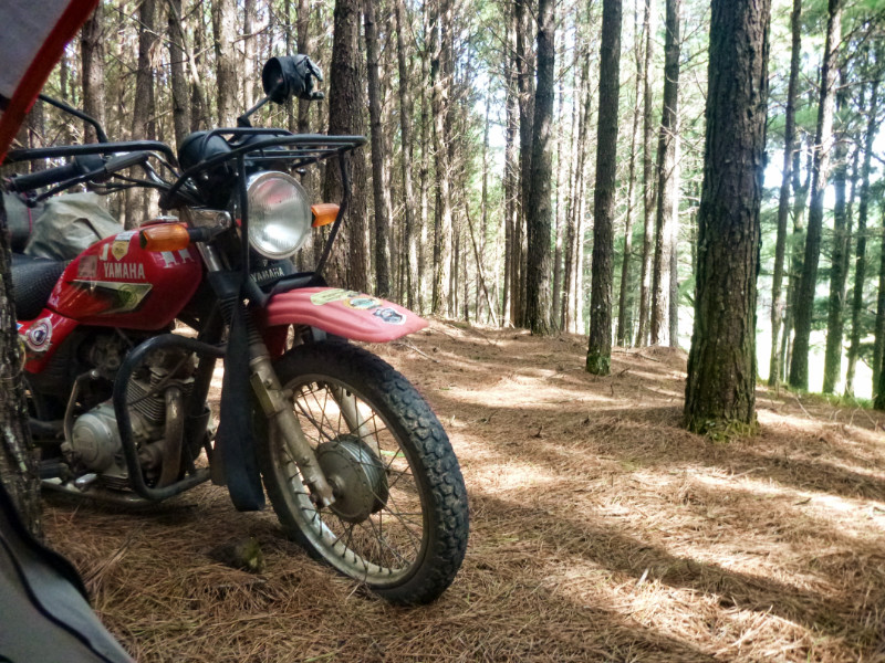 The warm fingers of the morning creep across the orange carpet of pine needles and massaging me out of my slumber, I string up the hammock wearing loose boots and loose clothing and decide to spend a day here with the thought that if I’m not spending money on travel or lodging then I’m extending my budget toward the next payday from my letting agent. I have a stash of peanuts to graze on if I don’t fancy a day’s fasting.
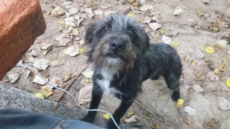
 Lying in the hammock basking in the natural ambience, I hear a rustling from the tent and raise my head to see a rusty orange coloured chihuahua rummaging through my things. I lift it out and drop it onto the matching carpet of pine needles and it scuttles around me wagging its tail with excitement before turning onto its back. I step out of the way because my dad’s chihuahua starts to piss on you when it does that but I notice this one’s female and doesn’t come with the same feature.
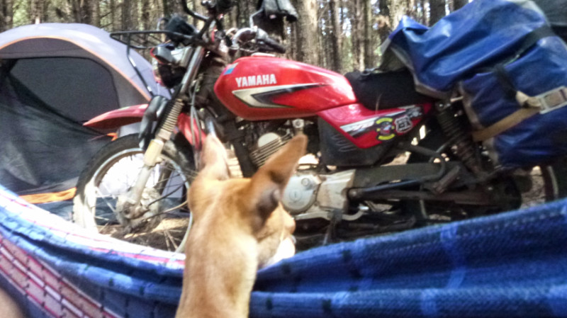 The dog’s presence is a puzzle since there’re no houses close by and the dog doesn’t want to leave. A couple of cars pass along the lane during the day and the little dog sits up and whimpers. I half expected someone to appear as is common with dog walkers in the UK but dogs appear to roam free in South America, Owned or stray…
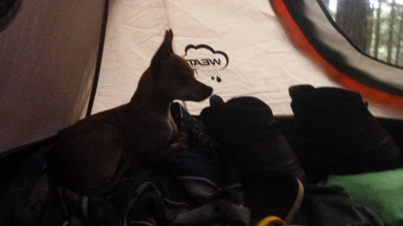 She spent a quiet night in my tent snuggled down on the bundled up hammock, quiet as a mouse and not that much bigger.
 CHECKING OUT OF Motogaragem and bidding a reluctant farewell. I packed away and joined the SC110 south for the Trilha da Cascata do Avencal, only 10km down the road.
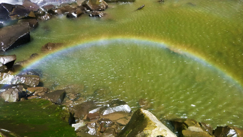
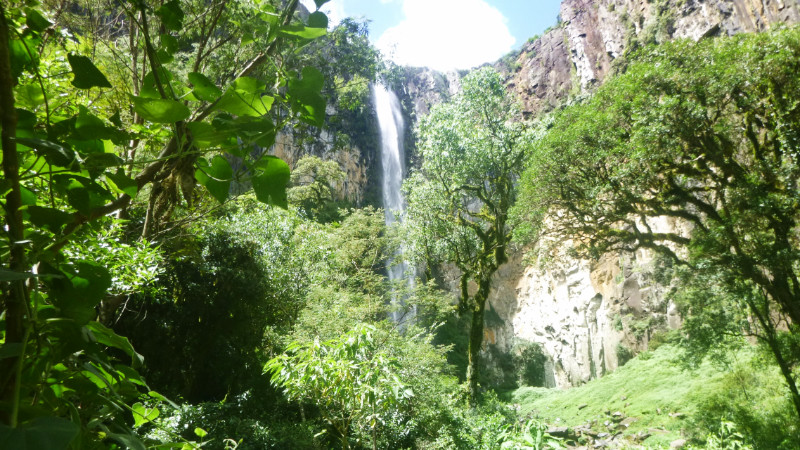 More a clamber up a drying rocky river bed than a hike, the view and cooling spray of the tall slender waterfall was worth the fifteen-minute ramble over perilous slick boulders. The sun beat down hot on my head but the fine mist cooled my body and revealed its perpetual rainbow.
 75km isn’t far on immaculate asphalt and sweeping through the bends in sparse traffic, bathed in Santa Catarina’s golden sunlight. The warmth of the Brazilian air blew the disappointment of the loss of the phone out of my bones into my wake on the SC110.
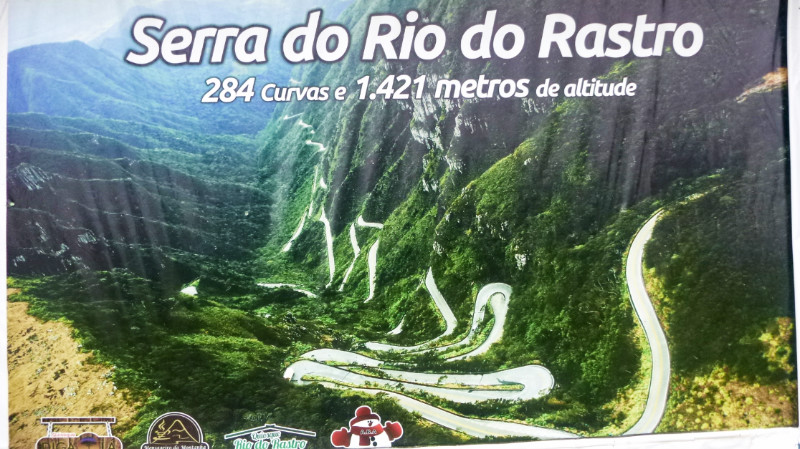
 Late afternoon, the sky began to darken in the east, bringing with it a damp and penetrating chill. I thought about stopping to unpack my coat but I had already passed through Bom Jardim da Serra which is just 10 minutes from Serra do Rio do Rastro. I just gritted my chattering teeth and shivered out the last handful of kilometres.
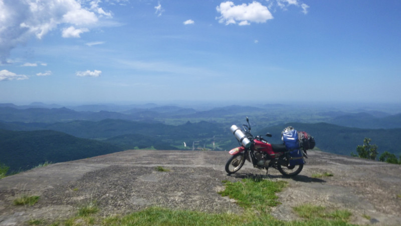
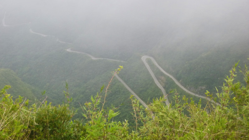
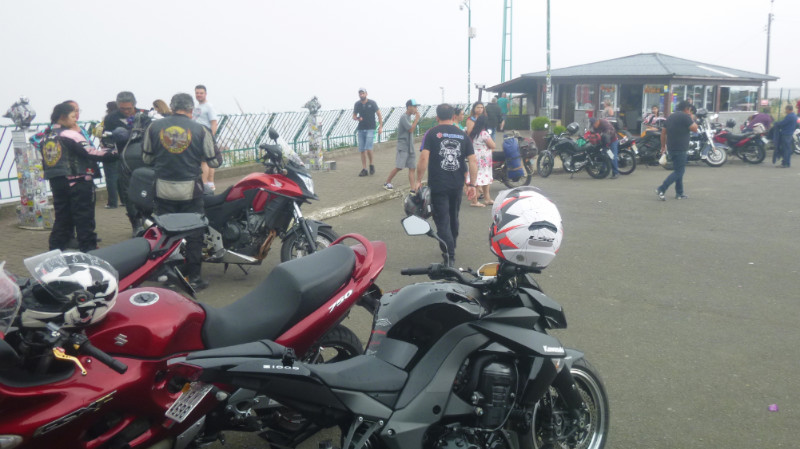 The Mirante da Serra do Rio do Rastro perches on the lip of the canyon that descends quickly to the lowlands and I coast into the spacious car park to join the numerous bikes parked at the viewpoint in the corner. I dismount, remove my helmet and peer over the railing at the serpentine route down the mountainside. Just before it disappears from view in a haze of cloud ascending the mountainside. Was that going to be it?
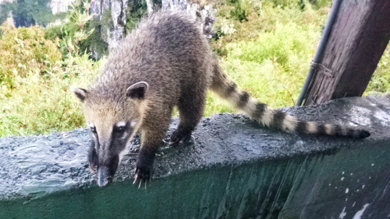 Back at the railing, with the sky now blue and clear, the view extends all the way to the town of Laura Muller and beyond, 15km away. Two audacious coaties roam the viewpoint and boldly mug anyone holding a snack. A little girl squeals and tries to run away to no avail, a coati gives chase and swipes her bag of chips, leaving her mother to mop up the little girl’s tears.
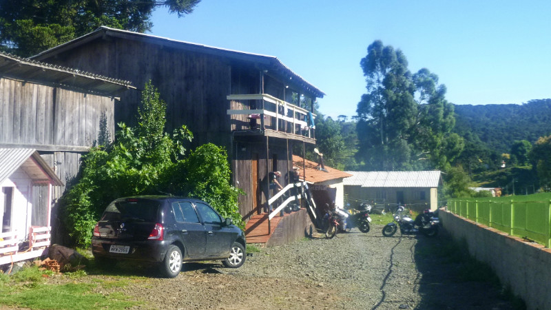 Looking for Pousada Do Papagaios I now notice how many pousadas in Bom Jardim there are, many more than I noticed the first time through but I stick with my promise pausing near a man outside a church to ask where the college was. He points to a building about a block away next to the Police Station and my wheels soon crackle over the loose black stones chips of the driveway to the warm welcome of Pousada Do Papagaios. I’m instructed to park the bike inside the cafeteria which is open to the driveway via double garage-sized doors and I settle at the table next to my bike and enjoy a hot coffee.
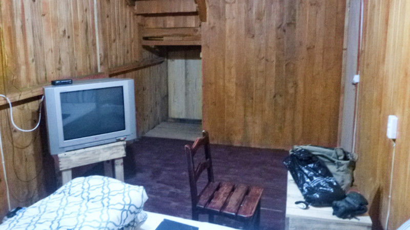
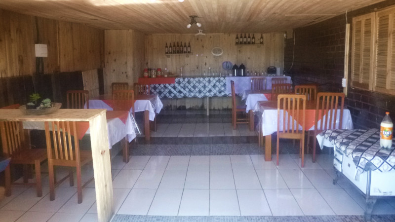 Telmo ignites the barbecue by launching a match into the gasoline-soaked pit and a ball of flame blows itself out of the fireplace and up the chimney of the Barbecue. Anna makes me another coffee before showing me my double sized ensuite room. The building is built of bare wood suggesting any time frame of the last few hundred years. I could be on the set of a Western. The planks are without soundproofing so noise travels easily between the rooms. despite that, the place has a rustic charm complimented by the warm friendliness of Telmo and Anna.
 I surf the net for a while before two bikes roll in. Two couples that I’d bumped into at the Mirante with their partners. “Ah Ingles!” One of the women says. They sit at the table across from me and I abandoned by the animated Portuguese chatter. I’m half present while I’m online checking messages and posting updates, getting fed barbecue buffet which appears to be complimentary.
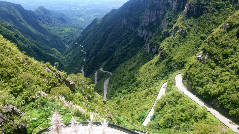 The Serra is a pleasure to ride but you need the neck of a Giraffe to enjoy a good view over the parapets. The road runs wet where the water continually spills off the mountain so I cautiously lean around the bends. The town of Laura Muller is deserted. Sunday, maybe people are at church and I roll up to a cafe for lunch as the only customer to check the map. From here I want to go to Cambara do Sul, which is back up the Serra.
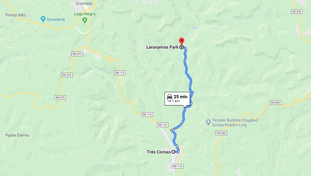
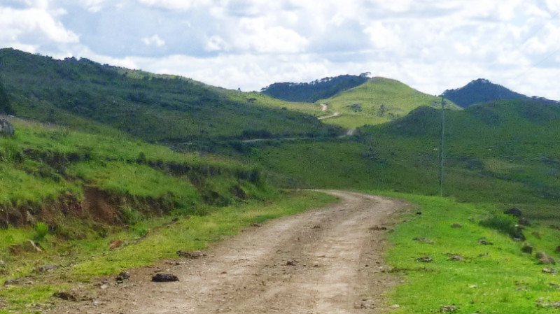 The next morning, Telmo drove me to the start of the trail with me following on the bike, since that was easier than trying to explain where it was. I waved and headed up the dusty trail. I passed a sign scanning it for places beginning with L, nothing so continued. At the 12KM mark there was no sign of the farm at the end of the track that is the start of the trail or a hint that the trail would end soon. I double back and notice at the sign that I missed “aranjeiras” The missing L of Laranjeiras threw me but if I’d have stopped to check the map, I would have avoided the 16 KM detour.
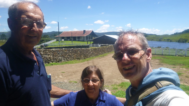 I paid my 10R$ to the farmer, he inspected Telmos map to make sure I didn’t need a guide and pointed to the start of the trail up an escarpment that disappeared into woods. The sun beat down between the trees making the 2KM hike thirsty work. I carried a one-litre bottle and had finished it before arriving at a crystal clear stream near the lip of the canyon. The water tasted cool and clean, babbling over sun-bleached rocks before continuing down the gulley to dramatically spill over the rim into the canyon.
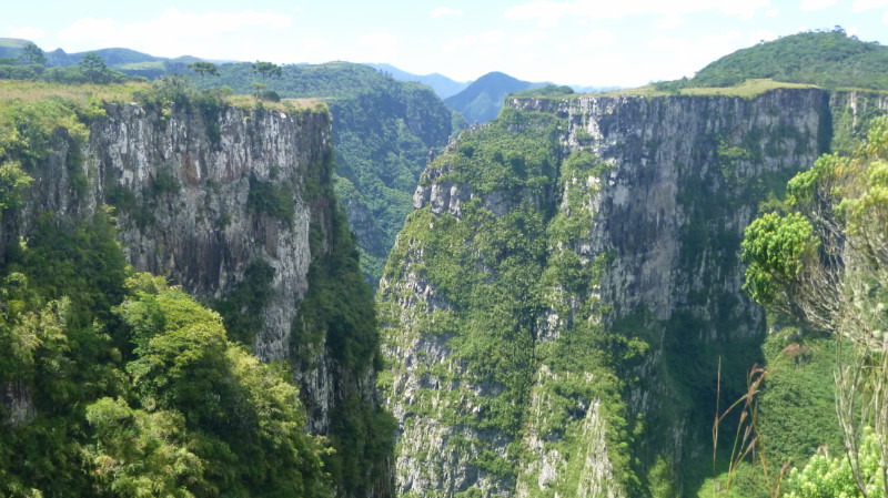 The edge of the canyon was sharp a 90-degree angle over the rock to the sheer face of the canyon. I lay on my stomach, white knuckles over the ledge and pulled myself to peer over the edge at the terrifying 200-metre drop below. I’m not great with heights so sat back from the edge for taking photos at arm’s length. I had the place to myself.
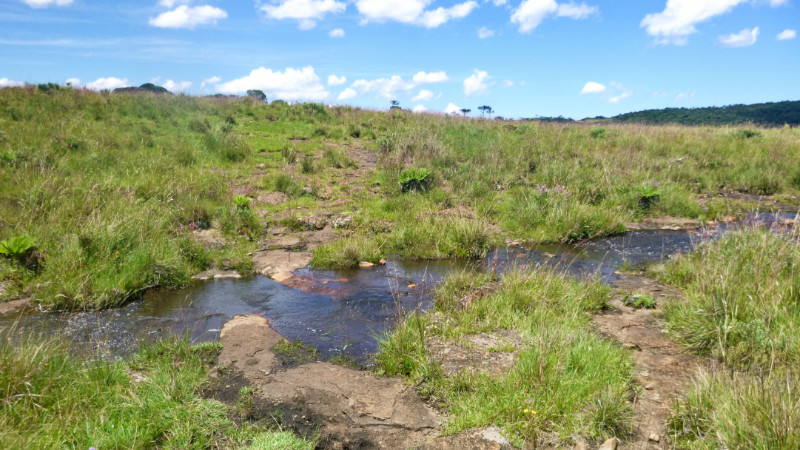 Reaching the stream, I kicked off my boots and stripped off for a refreshing bathe then sat on a rock eating Anna’s packed lunch drying off in the warm breeze and yellow sunshine.
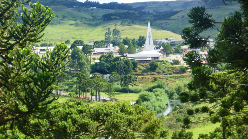 Cresting a rise on the trail, the view of Bom Jardim on my return is a homely and welcoming sight. Telmo and Anna feel like family despite our language barrier. Enjoying the lunch near the stream made by Anna augmented that feeling and felt even more precious than the stunning view of the canyon itself.
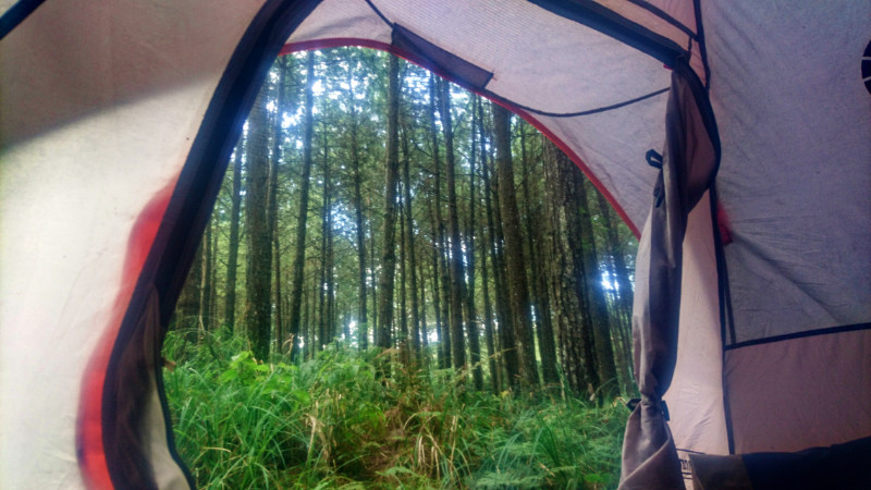
 RUBBING MY EYES and peering under the flap into the low, grey misty cloud at the side of the road on the Morro da Igreja, I could be anywhere in the world. There would be no checking the GPS, telling the time or anything phone related. I zip up the flap again and lay back in my sleeping bag recalling the last images of the map. Urubici wasn’t far away. It was my waypoint for turning south to wherever next. Without the GPS and all the other phone apps, The game had changed.
 I heard a couple of trucks go by but not much else. All seemed still and quiet on the side of the mountain road. Thinking wasn’t helping me much. I flipped up the lid on the laptop, the screen flickering out of standby into life: “Wednesday 23rd January 8:47am” and I closed the lid again putting it back to sleep. The feeling of boredom finally exceeded the resistance to packing away and I wriggled out of the sleeping bag.
 The tent was soaked with dew and my socks and boots had made no attempt to dry out in the damp mountain air overnight and I retrieved a pair of dry socks from a bag so as to ease the discomfort of slipping on wet boots. The tent was rolled away into a soggy roll and the bags strapped back to the bike. After yesterday’s expedition, the bike posed on its stand showing off its adventurous new mud livery, sure it looked a mess but it added to the story of its own life.
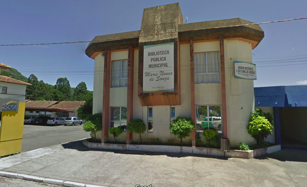 Across the road stood a reluctant looking Biblioteca and I crossed intending to use the Wifi. Inside presented no recognizable library. but a collection of offices and what appeared to resemble a primary school classroom. I asked for WiFi in my best Portuguese and was led and pointed toward the toilets. I thanked the kind lady, washed my hands and face and exited.
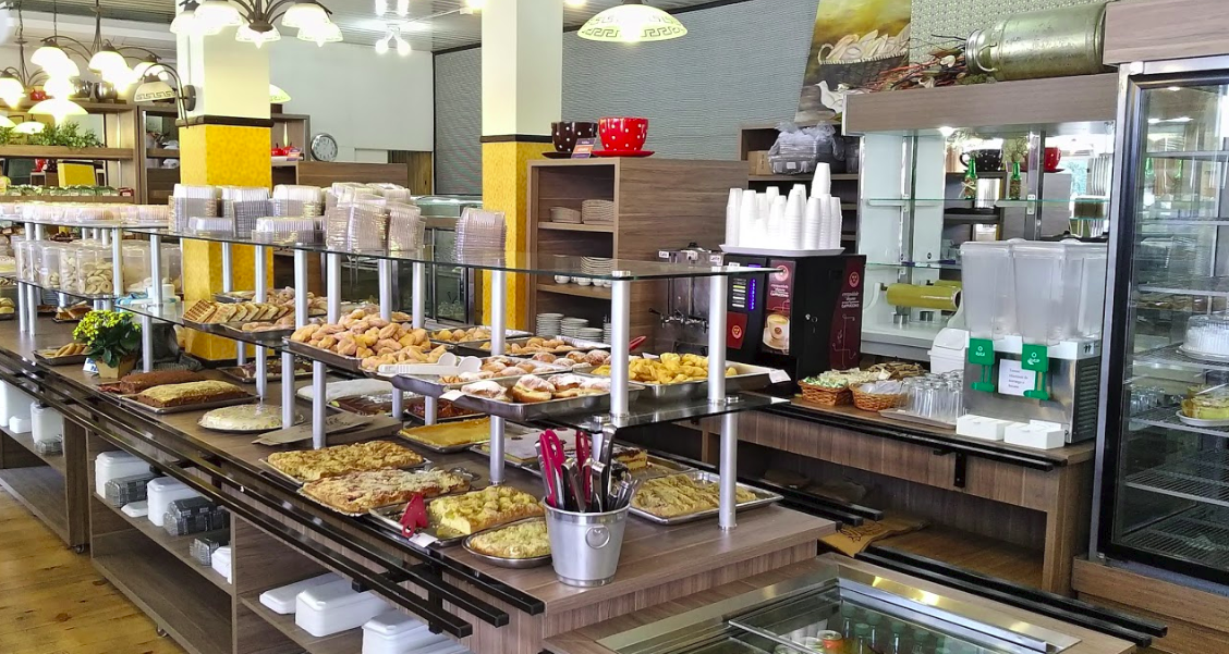 Mounting the bike, I coasted slowly back northward over the cobbles to finally discover a bakery that was open. Coffee and cake for breakfast and, more importantly, WiFi and electricity for my laptop. I wanted to check iOverlander.com and Google maps on the PC for somewhere to stay and to plot my onward route. Life feels a little bit more fragmented without the cellphone but the PC is able to paste over those cracks.
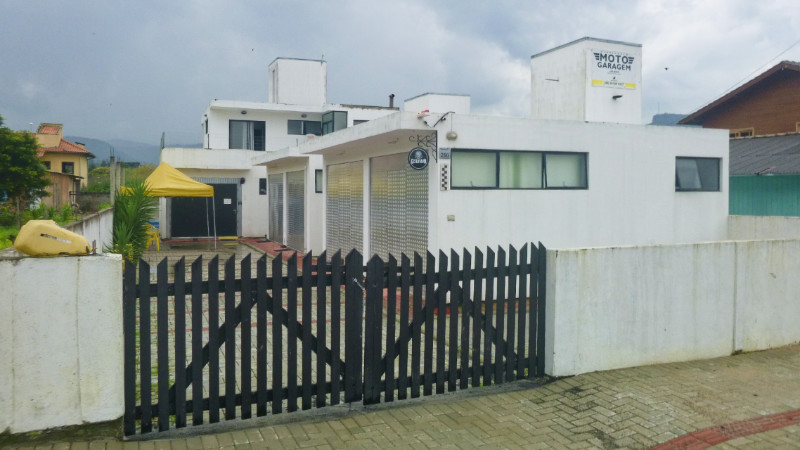
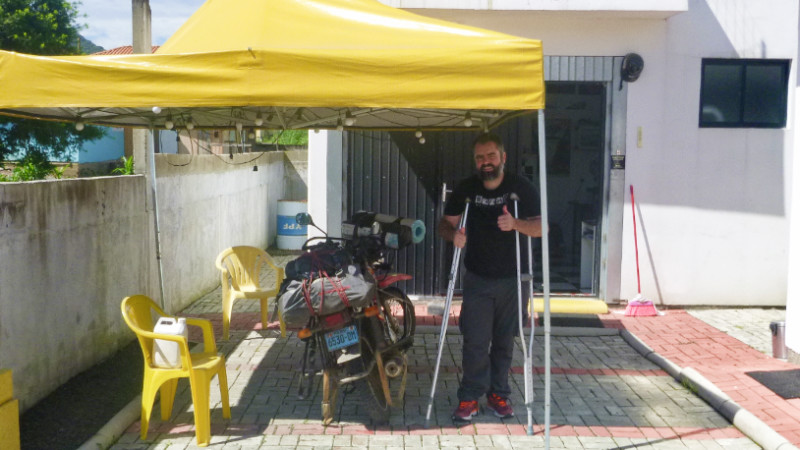 Yesterday’s excursion had worked up a hunger, which the cakes and pastries slowly turned to a sweet, nauseating feeling of excess. I was on my third coffee when Filipe Miranda introduced himself, letting go of one of his crutches to shake my hand. He was curious about the little Yamaha with Peruvian plate and recommended a hostel called MotoGaragem just two blocks away. He said something about closed in the afternoon but I couldn’t work out when. Was it before 4pm or after 4pm?
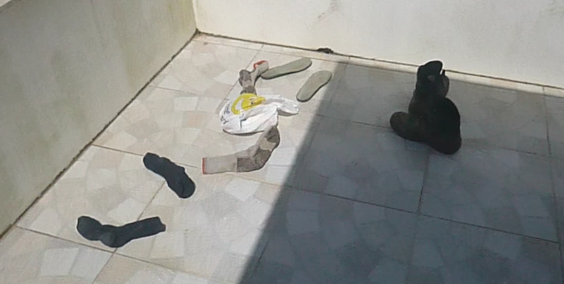 Maria hurried away and I retrieved my socks, boots and bag of rice with phone to spread around the balcony, then spent the rest of the afternoon catching up on the blog.
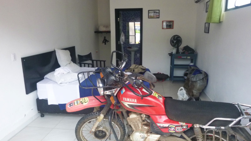 The next day, Filipe offered to move me downstairs to one of the units that hosts a double bed plus space to park the motorcycle. I’m not fussed but accept and make room in the chalet for a trio of bikers from Sao Paulo, which I think is the real motivation. It felt strange sharing a room with the bike but I liked it. A proper man-cave and I sat back on the bed surfing the internet while the bike rested on its main stand in preparation for removing the front wheel for troubleshooting the speedo fault.
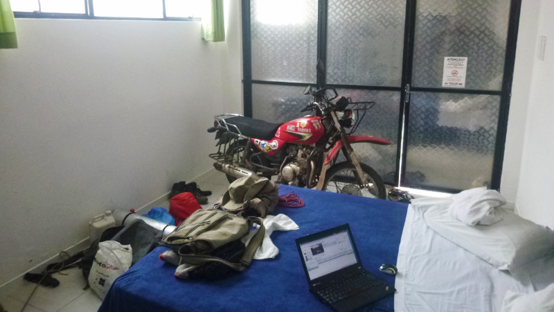 The speedo cable is the weak spot but I had already replaced that in Asuncion. Even so, I disconnected it to check to feel the inner spin at both ends and as I span the front wheel. The wheel would spin but the gear wouldn’t turn. the washer that connected the wheel to the gear had bent outward so the flat edges wouldn’t lock onto the cam. This washer was secured with a circlip which needed a circlip tool to remove.
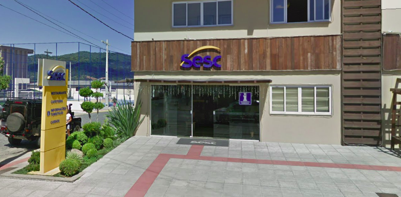 Filipe appeared and invited me to lunch at Sesc, a cafeteria packed with locals enjoying a great value buffet. I’d just removed the wheel, so recently that I was still scrubbing the grease off my hands when Filipe was shouting Vamos through the door hurrying me up for driving around the corner to the restaurant. Over lunch, he recommended I take the wheel hub to a moto mechanic named Edson who runs the Moto shop near the traffic lights.
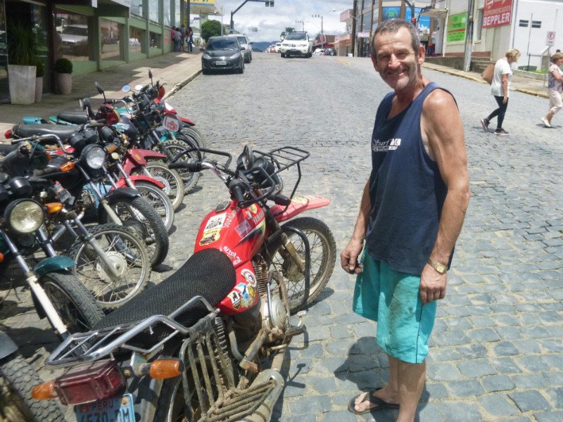 Edson could understand me far easier than most Brazilians because he was deaf and so didn’t get confused by my Portuguese pronunciation. He’d watch body language and listen to intention, taking the whole scene into account. He abandoned his work on a Honda elevated on a jack and set about dismantling the speedo gear with circlip pliers, greasing and tapping the washer back into shape. All resolved in two or three minutes. He didn’t want anything for it but I gave him 10R$ and heartfelt expressions of gratitude.
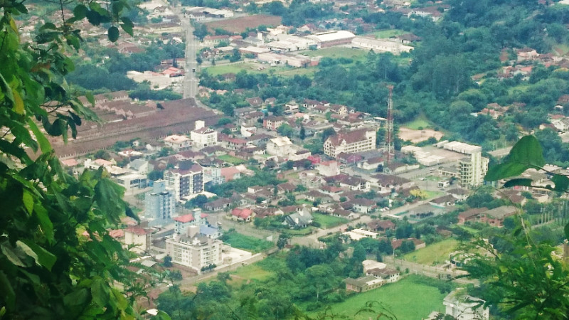
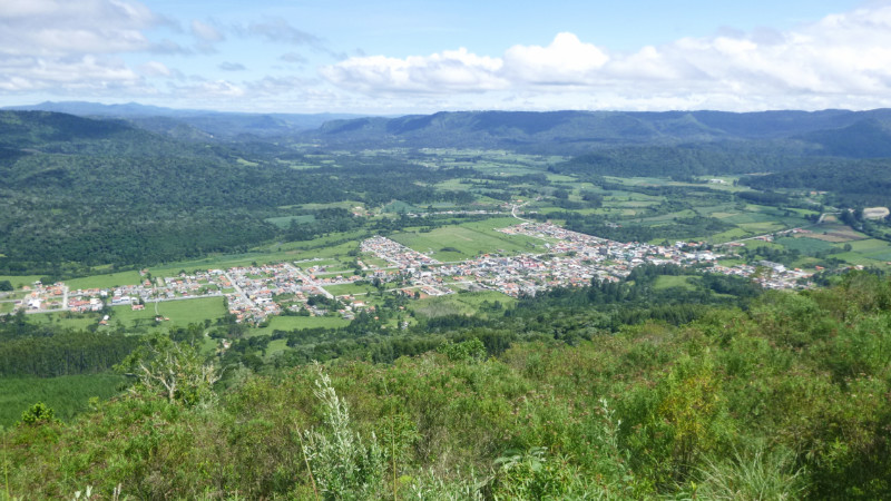 During my retreat at MotoGaragem, I took the bike up the hill that overlooks Urubici at Filipe’s suggestion. My first off-road stint since my failed search for the waterfall and at least the bike was unladen with my luggage back at the hostel. I felt a pang of pleasure seeing the speedo needle respond to motion and the odometer click up the digits as I scaled the steep track. After relaxing on the peak, admiring the spectacular view over the town, I descended for another Sesc buffet before venturing 10km west, at Rebeca’s suggestion, to Morro do Campestre.
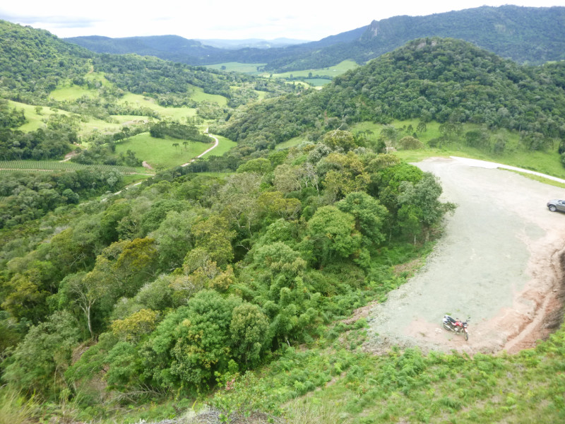 Riding around on an unloaded bike for pleasure is different from the continuous journey I find myself on. I ferry different thoughts with me and relax with no other agenda than to be “out for the day.”
 THE FUEL STATION had been a rejuvenating haven for the last hour. My mind had been on the fuel gauge nudging empty most of the way climbing out of Braço do Norte toward Serra do Corvo Branco, which took a little shine out of the experience.
 Riding over the Serra had been a real treat and I failed to get the best photographs of it by not knowing the relatively short length of the pass. By the time I’d got my GoPro out it was nearly over and I caught the last hairpin before reaching the crest. It reminded me of El Camino de la Muerte in Bolivia although that was almost 60km long. This was what, maybe 6…?
 Almost mid-afternoon. Too early to retire to a hostel. A huge chunk of day waits to be carved out of the bright Santa Catarina afternoon. Maps.me shows a selection of about eight waterfalls clustered on its map not far northeast of Urubici, most of the route planners return “inaccessible” so I embark on an expedition to the most ‘accessible’ looking waterfall on the app… and perhaps I won’t need a hostel if I pitch my tent there. After all, 28km isn’t far and shouldn’t take long.
 The road degrades into what looks like farm access and down a stony dirt slope then smooth large pebbles descending to the river. The trail leading into the water suggests a ford but there appears to be no exit on the other bank.
 Checking Maps.me and zooming in, my marker is off the route. The bridge should be 20 or 30 metres back. I abandon the bike and clamber up the stony lane. There is indeed a bridge but it’s through a narrow gate to a rickety suspension footbridge less than a metre wide. Even if it were wide enough for a motorcycle, the wire structure looked incapable of enduring our combined weight. Maps.me showed this as a drivable route.
 Zooming out on the app, I notice another crossing not far further north. Backtracking past the farmhouses of imagined occupants looking out of the window bemused by foreign traffic along this almost impassible route, I reach the t-junction, turn right along the narrow lane and squeeze past trucks loading crates of fruit harvested from the neighbouring fields and soon cross bridge number two on the GPS: a concrete single width structure of little beauty but herculean looking strength, starkly contrasting the spindly footbridge upstream.
 The dry pale track slowly morphs from dusty to alternately rocky and grassy. The further I travel, the less evidence there appears of recent traffic. Maps.me reassuringly puts my location firmly over the projected route. I’m still on track all right, so give a mental shrug and carry on, powering up the rocky inclines crouching on the pegs to allow the bike to bounce over the rough terrain without my torso adding to the inertia.
 Maybe this is a clue that I should turn back but quitting after coming 80% distant doesn’t really inspire. No need to put the stand down, the bike remains upright as I dismount and squelch the few paces back to firm ground and take a photo.
 The trail disappears into yet more water. This time, a bonafide ford, a narrow stream but with a stony bed. I don’t know how deep it is but I can see mango-sized pebbles in the shallows before the reflection of the sky on the water obscures the view halfway across. It looks harmless enough though. It’s not wide enough to be deep and also a ford.
 I hesitate and consider turning around but the GPS tells me my destination is now only 2km away. So close! I have hammered out 26km of rocky trail already, more than ninety per cent distance. If I can make the last 2km then I can pitch the tent and watch the sun go down from the hammock and maybe bathe in the crystal waters of the waterfall.
 Fairly soon, I arrive at a landmark I remember, a house at a junction that I had stopped to photograph on the way. The reassurance boosts my morale and I press on down the trail.
 About 15 minutes along the SC370, the sign to “Morro de Igreja” and followed it right, south along the road that zigzagged up the mountain, past construction crews resurfacing it, and through the low cloud base in and out of grey mist. It was late enough now that I already had my eyes open for “Plan B” camping sites. Spindly woods along a dubious looking lane was one, a green area in front of a farm gate was another until I finally reached the site that iOverlander indicated had a waterfall with a restaurant that allowed its reviewer to camp there.
 ALREADY SWEATING AFTER packing away in the oppressive morning heat, I rolled out of the campsite and cruised along the sandy track wearing a t-shirt to the local beach thinking that was the location of the Santa Marta Lighthouse.
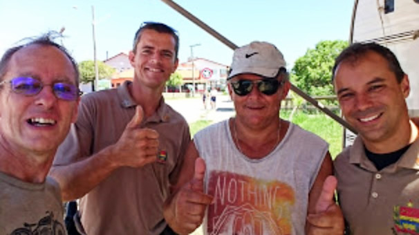 Parking up next to a small caravan that serves as a Police station, I stroll across the boardwalks to check the beaches. Nothing there so I return to the bike. Two Police officers with a couple of locals stand around the bike chatting. I join in best I can and the Police tell me the lighthouse is 40km further south near Laguna. Curious about my journey from Peru, I tell them about the whole trip from Turkey in a mixture of Portuguese, Spanish, English and mime. I bid them ‘ate logo’ and they offer a cold bottle of water. I’m already parched and down it in a dozen gulps before riding off.
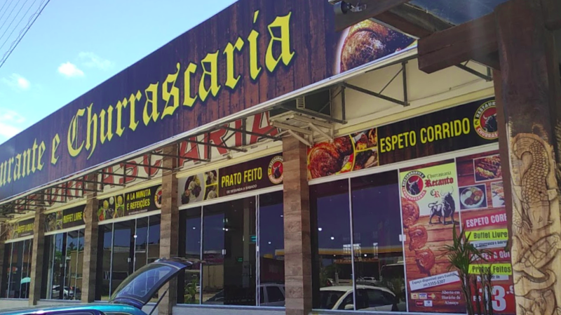 The restaurant tempted me inside but was too busy for my patience so I pulled into the Restaurante e Churrascaria Boi Preto not far down the BR101 just southwest of Imbituba where, according to the proprietor’s son, is the hometown of his friend Jorginho who plays for Chelsea. The buffet was delicious and cheap too. I’ve forgotten this guy’s name now but he said if I ever pass again, I can stay at his house. I can ask Jorginho what his name is if I see him kicking a ball about in the UK.
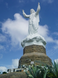
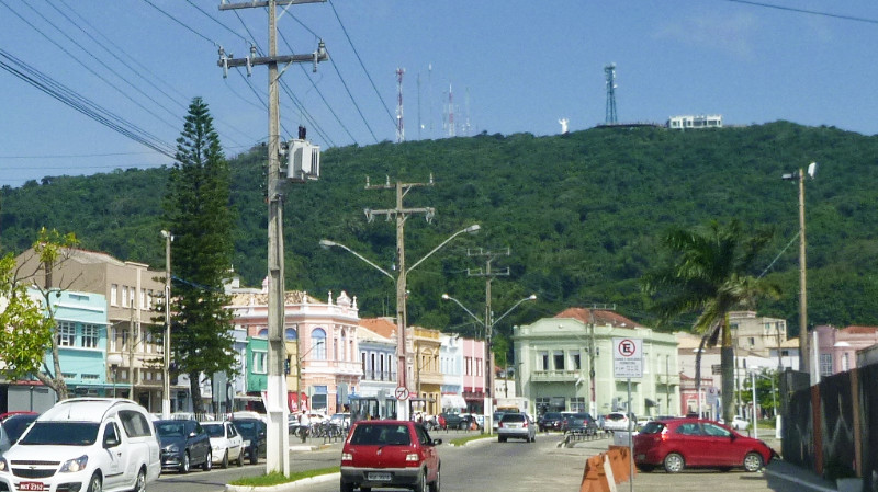 The turnoff to Laguna, 25km further down the BR101, came with the usual sense of relief and I could relax look around more while riding into Laguna without focussing so much on my mirrors. I spotted the Mirante Morro da Gloria on the skyline with its statue of Christ, arms in the air, and I weaved my way through the one-way system and up the hill.
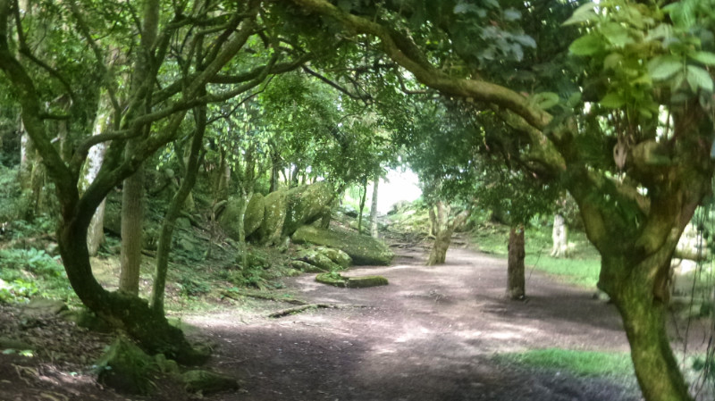 There’s a picnic area in some woods that looked good for camping but it was far too early to turn in. The statue attracts a regular flow of visitors. Sure, it was quiet but also too public. I could see a long way down the coast from here. Reminiscent of South Padre in Texas: a strip of land tapering off into the distance: Ocean one side, lagoon the other but I could see no lighthouse…
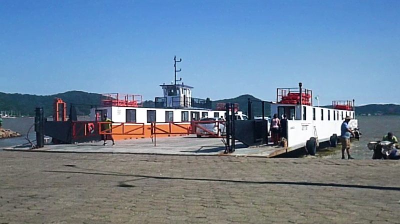
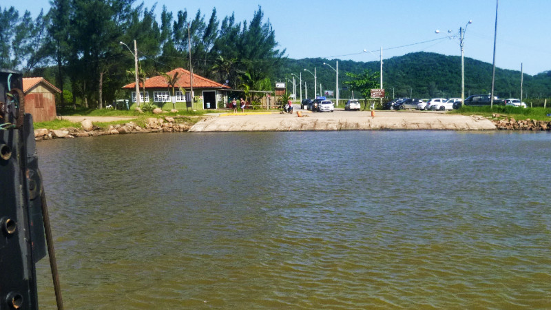
 Following the signs to the Ferry, I pick up the tail of a bus winding through the streets toward the terminal. Arriving there, a ferry had already closed its gates ready to leave. Noticing the arrival of the bus it opens its gates again and I roll on as the passengers drift out of the bus and stroll onto the ferry.
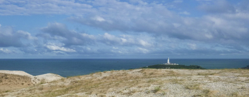
 After a few kilometres, I spot the lighthouse in the distance and by the time I reach the junction, it seems like I’m well past it. enough to question whether I had missed it a few kilometres back. Santa Marta is a quaint little town huddled over a hilly promontory into the Atlantic, popular with tourists. It reminding me of an old Cornish fishing village back home. Coverack, perhaps on the Lizard peninsula.
 I park the bike perpendicular to the curb to squeeze into the last metre of space between the line of parked cars and the red painted curb indicating the ‘no parking’ area at the entrance to the lighthouse then wander up the hill.
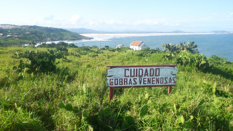 A sign warning of the danger of venomous snakes in the rough grass reminds me this isn’t Cornwall. This town looks compact and probably expensive for accommodation. Riding along the seafront up to the hiking trail, there is a small grassy car park scorched by a campfire. It’s perfectly level for a tent but quite exposed to public eyes so I decide to wait until dark and ride back down to the promenade and retreat to a cafe for a beer and WiFi.
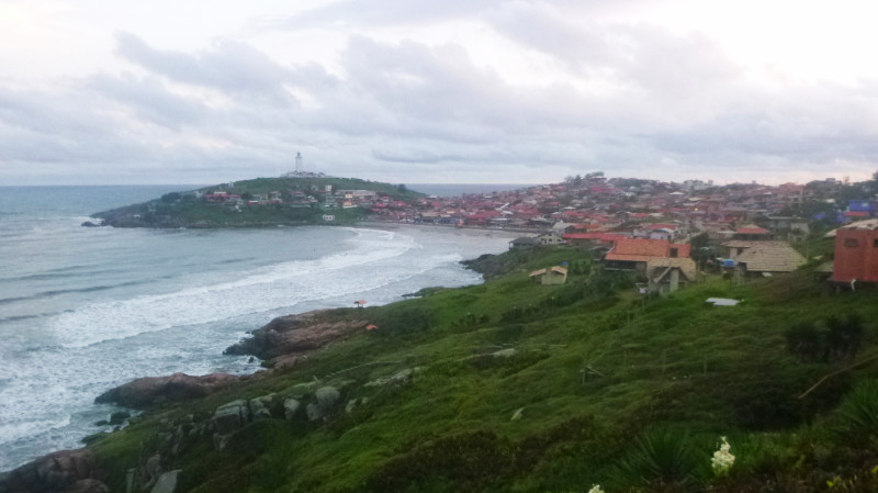 It’s amazing how one beer can affect your sense of balance. I felt totally sober but my balance wasn’t as sharp as normal and I carefully wobbled over the bumps and troughs along the track back to the trailhead at dusk to watch the waves and the day melt into night.
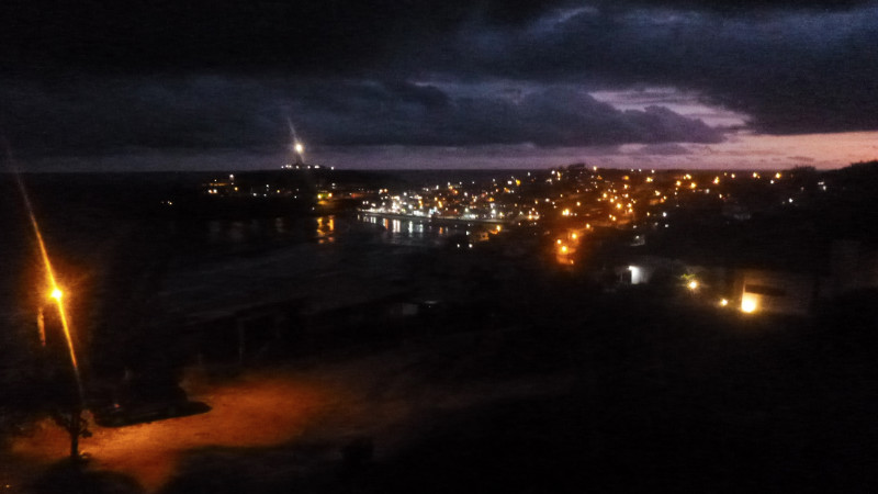 I walk back to the car park in the dark to pitch the tent. Along the way, I stumble down a hole in some thick weeds, instantly hoping there aren’t any snakes down there, as I scrabble out the other side, maybe tick off one of my nine lives on that one. While securing the poles, the beam of a flashlight sweeps across me, a local guy out jogging with his dogs. I just wave a greeting “Boa Noite” and he jogs along the cliff path out of sight.
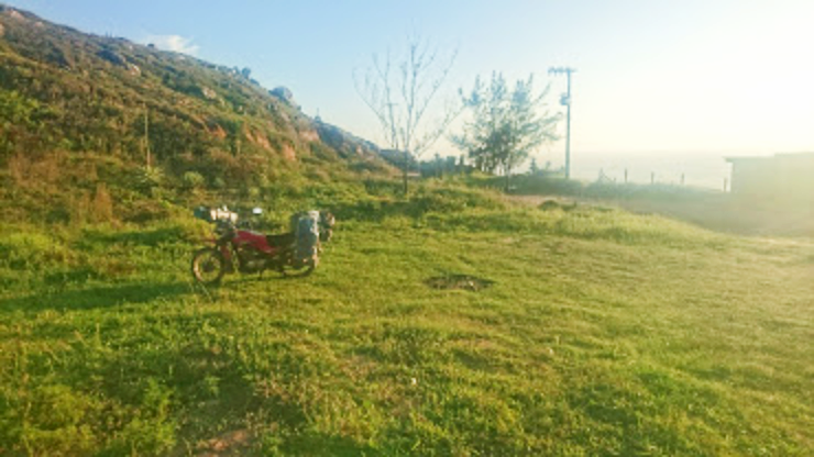 I struck camp at dawn for the purpose remaining invisible, the dew still fresh on the tent, while most people were still in bed. I had a peaceful and tranquil night here and being free of charge made my rest feel all the sweeter. I sat at the promenade in front of the closed cafe hoping for breakfast and used their wifi to check my route.
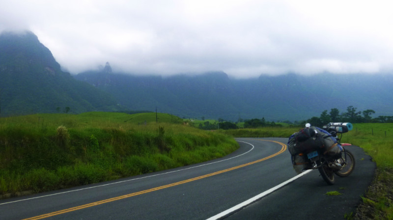 I could just as easily have breakfast in Tubarãu and took off toward Braço do Norte and then hopefully onto Serro do Corvo Branco. Google maps the SC370 down as closed, giving me a 100-mile diversion via Laura Muller. I ignored it and stopped at Tubarãu for WiFi and breakfast. I headed south from Santa Marta around the lagoon which meant riding north on the BR101 for a while. It felt like I was backtracking.
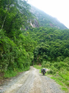 The SC370 out of Braço do Norte looks like virgin asphalt, smooth, wide and sweeping. My fuel gauge was half way which should be plenty for Urubici 70km away. The uphill incline tips the fuel to the back of the tank lowering the float sensor of the gauge at the front moving the needle to show near Empty and I start to wonder about fuel consumption on this persistent and winding incline. The misleading gauge taunts me, asking me why I didn’t take a moment to pop into that fuel station in Braço do Norte. Distances certainly feel further on the ground than they look on a map.
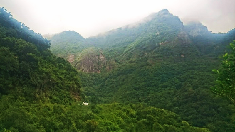 Up ahead is a Tolkien-like landscape and the SC370 becomes single lane unpaved track as If I’d strayed through a farm gate without noticing. The difference is enough for me to stop and check behind me and interrogate the GPS. There’s nothing to suggest I’d made a wrong turning. Checking Google street view later clarifies things. the images from 2011 have the SC370 as a dirt track so the upgrade to immaculate asphalt is very recent and ignore the difficulties of the mountain pass.
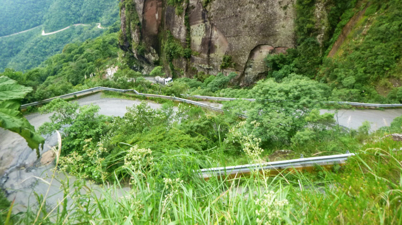 In the distance, a white car becomes visible on the side of a mountain and disappears behind the vegetation again. The track continues up the mountainsides in the style of Peru and Bolivia and soon I arrive at a series of hairpins and stop to get the GoPro out… just in time for the last bend. I park at the top to admire the view back across the gorge and the cleft where the road crosses the peak behind me. I see a truck with pallets of bricks grinding its way up the lane. Below me, it disappears from view but hear it change down a gear for a steep corner followed by a loud metallic rumble. When he reappears, one of the pallets is a heap of rubble on the back of his truck and the truck continues the climb and crawls past the last turn past me over the peak.
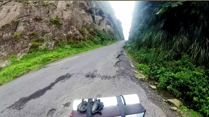 After a few moments, I follow over the peak, my mind is at ease. I coast down the wide gravel track on a closed throttle and the fuel sensor rises on the fuel flowing to the front of the tank and the gauge settles at a quarter. Coasting downhill uses almost no fuel but Maps.me puts a fuel station 30km away and I rejoin immaculate asphalt gently cruise along the sunlit valley toward Urubici, ignoring the tempting detours to morros and waterfalls.
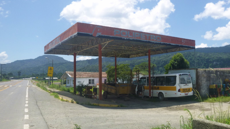 I arrive at the expected fuel station only to find a rusting canopy sheltering an old bus and wrecked fuel pumps. Like a scene out of a John Steinbeck novel. The Gas Station of Wrath. Thankful for not deviating to the viewpoints, I continue to the BR station 9km further on. Snacks, drink and WiFi keep me there a good hour revising my plans. Too early for retiring for the day, I browse the seven or eight waterfalls on maps.me not far away, most of which come back as inaccessible. There’s one that is 28km away and I decide to check it out, picturing myself enjoying a refreshing natural shower and perhaps camping for the night in an Eden-like paradise…
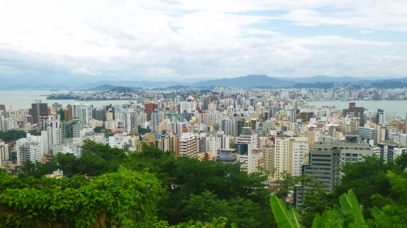 Florianopolis: a major waypoint in my consciousness ever since my meanderings took me east of La Paz in Bolivia nine months ago – changing my plans of returning to Colombia via Peru and Ecuador. The big picture in my imagination saw a straight line east across Bolivia and Brazil and then a sharp right southward. Of course, life doesn’t unfold along straight lines. Losing my wallet in Bonito, Brazil took a two-month bite out of my three-month passport stamp prompting me to duck into Paraguay and re-enter Brazil at Foz Do Iguazu three months later. sometimes the silver-linings are bigger than the clouds that bring them, such was the joy of my time in Paraguay
 This waypoint looks and feels different close to. I’m already at the coast and Florianópolis now lies less than 50 km south. The first waypoint in the big plan, such as plans go. Porto Alegre would be the next, comparatively only just down the road.
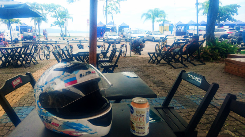 Checking the app on the phone, there is mention of a camping spot at a trailhead at the south of the island some 35km away. there was no rush. I finished a couple of ice cold juices and joined the perimeter to exit the city southwards.
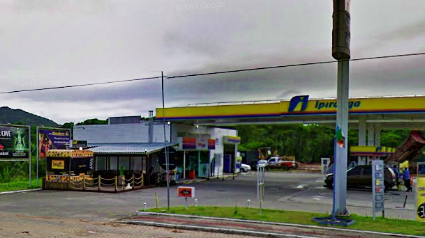 The interchange wasn’t too much of a problem and I happily cruised south. I saw the squall early, sweeping over the southwestern mountains on the mainland and across the strait. The rain had already started to fall when I spotted a gas station up ahead and pulled into its lean-to cafe shelter to buy a coke and hide from the storm. The wind drove the lighter rain horizontally over the seats and tables and I sought out the least affected spot while the warmth and light of the day slowly blew away.
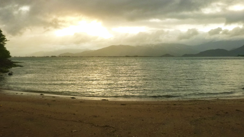 Continuing down the quiet undulating coast road under the cold grey sky, the weather along with the proximity of mainland Brazil across the strait reminded me of driving along the banks of loch ness in Scotland. It was hard to believe this was a strait and not an inland lake.
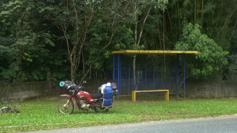 The rain never really stopped. The air was still heavy with water and sporadic outbreaks of drizzle drove me into bus shelters so I could thoroughly examine the sky upwind. Along the way, I discovered a “plan B tent-pitch” behind a bus shelter, overhung by tall bamboo trees, hinting at an element of seclusion. Not ideal, as there were houses across the street but felt adequately safe in case of an emergency.
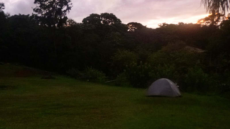 I walked across to the Car park. Three cars parked on the inclined plane of half gravel and grass. A wooden office shack on the far side from the road with Portuguese notices about litter and with directions to the banheiros was locked and silent. Behind the office were the banheiros. Above and beyond that, a level plateau of grass for further parking hosting only a ford transit minibus. Thumbs up, in my mind. I trotted back down the hill to retrieve the bike, crossed the lower incline of the car park and powered up the steep rocky rack to the level grassy plateau to pitch the tent in the fading daylight.
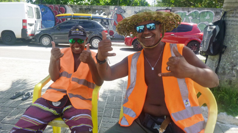 Sunday 20th January, replaying the reverse series of aromas of the trees as I retraced my journey north. The morning quickly warming up as I edge east toward Campeche on the Atlantic coast of the island.
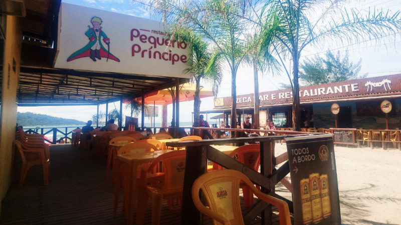 The beach at Campeche was already busy and I chatted with the parking attendants for a few minutes. I stayed just long enough to enjoy an Ice cream near the beach before riding off back to Florianopolis. To the north of the city, I heard is where the wealthy reside. There’d be nothing there for me so I return to the city itself, this time via Lagoa and Itacorubi.
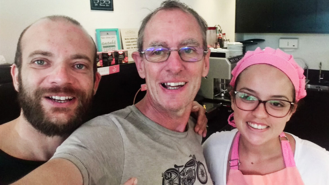
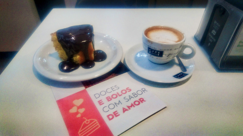
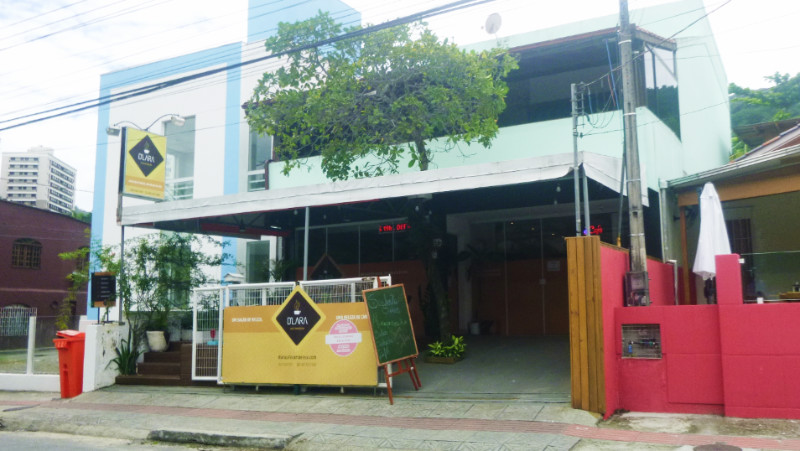
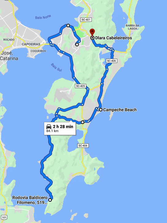 I was looking for a cafe and spotted one through the trees on a service road and backtracked to the junction. When I finally parked, it turned out to be a Gelateria, an ice cream shop. Despondent and about to ride off, I noticed that next door was the unassuming looking cafe D’lara. Electricity for the laptop, Wifi, Coffee and Cake. Perfect. Ralph spoke English well and Veronica baked moist, rich cakes. I bathed in the warmth of their company. Solitude helps me appreciate these moments along the way.
 I needed cash and tried to navigate to the ATMs I’d found on internet maps. The junctions are complex and funnel around loops often in the opposite direction to where the location I want. the one-way system means negotiating driving around blocks and finding an elusive parking space is difficult even for a small motorcycle. Banco do Brasil had closed down, another ATM, I could find no trace of. I gave up and set off for the ATM in San Jose over the bridge and down the BR101.
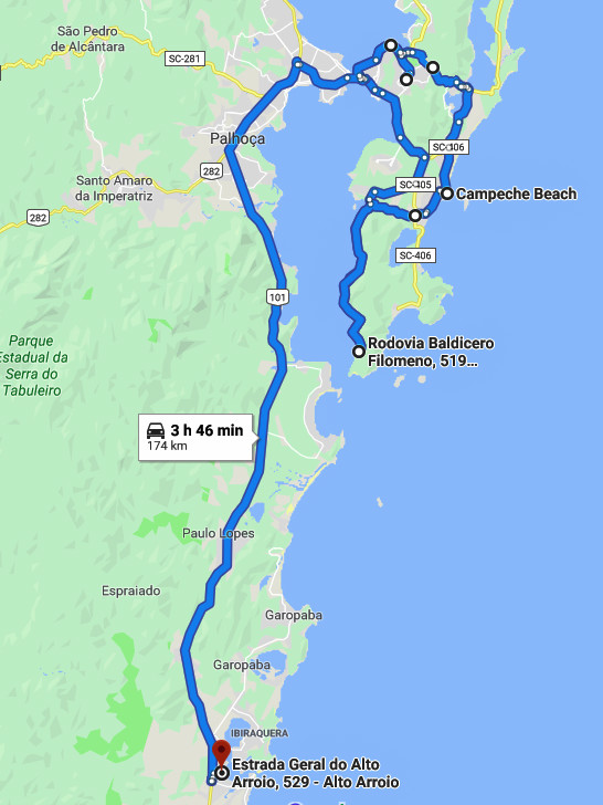
 I found the ATM but it didn’t service foreign banks. Failed! Short of cash and getting late, I set off to find a campsite for the night and deal with the finances later.
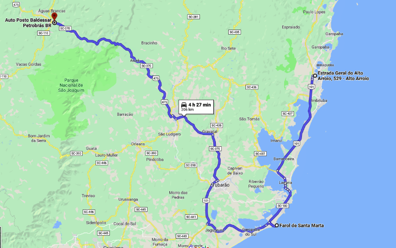
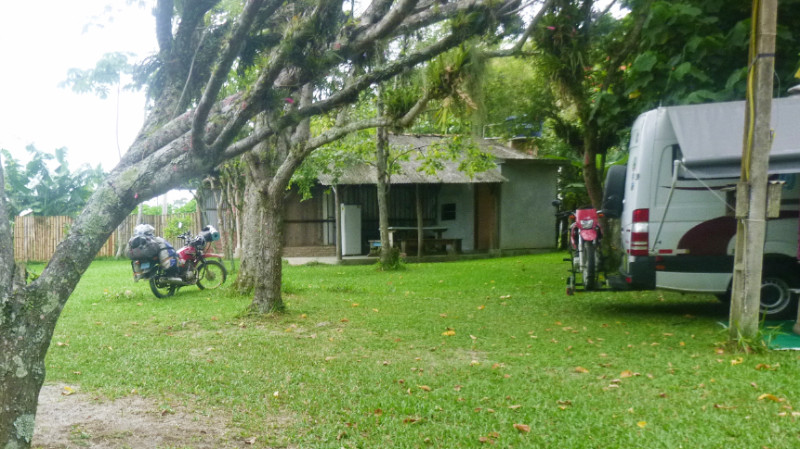 90km to Alto Arroio and it’s a relief to get off the fast and furious BR101. Not far away, I discover the campsite, Camping Do Quintino, next to a lagoon. A compact, leafy, rustic site. The woman who received me didn’t speak English but we managed to communicate well enough to check in. There was only one other camper, a Mercedes Sprinter, whereupon I met Paulo Lazier. He gave me a list of places to visit including Farol de Santa Marta, Serro Corvo Branco, Serra do Rio do Rastro, Cambara do Sul, Canela and Bento Goncalves. A big deviation from the monotonous BR101 hammering its way south along the coast… riding along the BR101 is no way to experience Brazil. It may be efficient but it has no soul… and soul is what I’m looking for.
 The road approaching Blumenau stacks with crawling traffic and I traverse a busy roundabout to stop in the shade of some trees just past the junction to see whether that was the one for the centre. A Honda with a young man and woman on the pillion, Bautista and Maria, pulls up alongside and we chat about my journey and their trip to Ushuaia. They disappear into the traffic and after a couple of minutes return to hand me a 20R$ note. I feel very moved by that gesture.
 Usually, locals know these roads well and drive at the maximum speed leaving little quarter for newcomers feeling their way around.
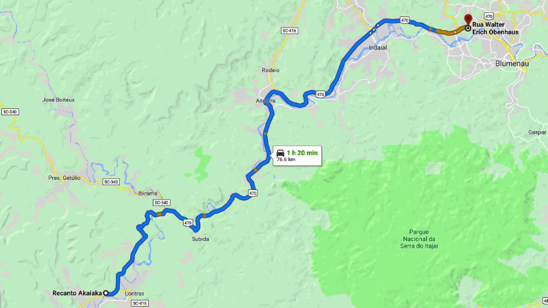
 Tapping into the WiFi, I scour the internet for accommodation that fits my budget. There would be no camping in a city this large. I locate a sweet sounding pousada back over the river on the northern perimeter of Blumenau, Le Petit Cherie. I fight my way out of the one-way system and cross the river to the busy route 470 and cruise along the commercial zone bursting with car dealers to find a steep slope that is the “Rua Walter Erich Obenhaus” leading to the pousada.
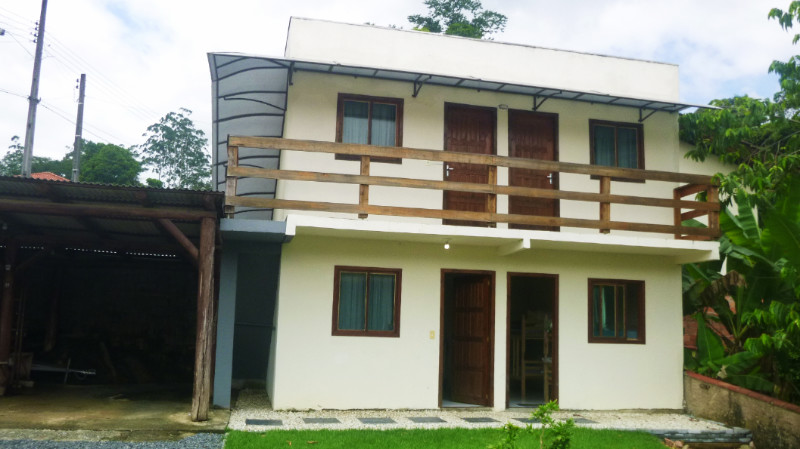 Compact but clean and perfect. It’s always a relief to find a new sanctuary in an unfamiliar area. It’s a four berth dorm but I’m the only guest so it’s as good as a hotel ensuite. The temperature is a lot warmer than it has been since Foz do Iguaçu. I unpack the bike and strip down to t-shirt and underwear and sit back on the bed in the stream of cool air from the fan plugged in next to the bed patiently working with the patchy, lethargic internet
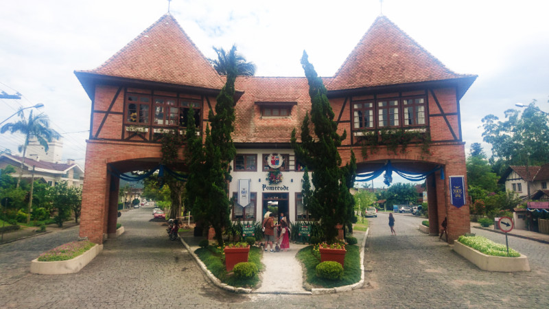
 After dark, Roberto and Sonia invited me into their house to try the local beer. their English is good which makes for an easy night for me and I revel in their warm and friendly company. Receiving tips for visiting Pomerode and its delights prompt me to stay another night.
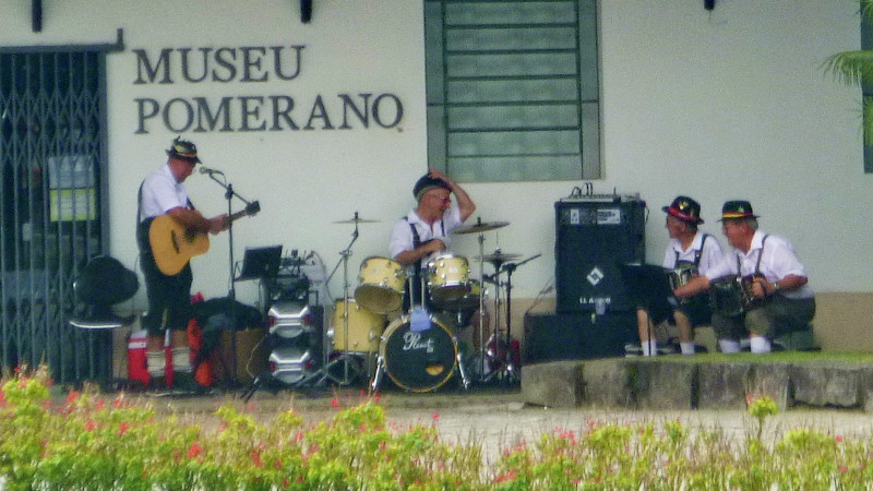 I’m still there four days later, having visited Pomerode and various excursions to the giant mall for working online.
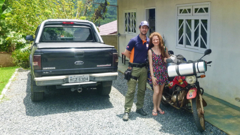 In the evening a tap on the door reveals Sonia offering me coffee and chocolate biscuits, we chat briefly before she retreats across the garden to her heme. Roberto is busy with Civil Defense. Recent storms have funnelled down the valley sides and flooded the river that runs through the city. Since storms appear nightly, he works all hours. Officially, Roberto and Sonia are on vacation but the reality is that they can’t go anywhere since Roberto is also on standby. All hands are needed in Blumenau during stormy weather.
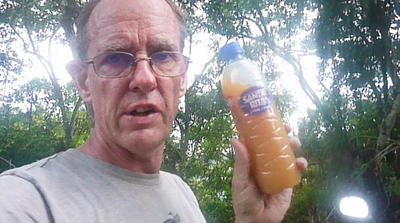
 There’s always a temptation to stay one more night at places like this. My three day trip to Florianopolis is already well past a week and I force myself back on the road. Sonia packed me some chocolate biscuits I didn’t know that she made them herself and they had been a real treat in the evening with the coffee. She also gave me a bottle of fresh açai juice from the fruit in the garden.
 It’s not far from Blumenau to Itajai, 60km or an hour’s ride. Itajai is a major port north of Florianopolis. I resisted the urge to explore the city and take the bypass south to Balneário Camboriú. BR101 is a major artery down the coast. Fast and aggressive dual carriageway. Sure I could make Uruguay in short time but what would be the value in that?
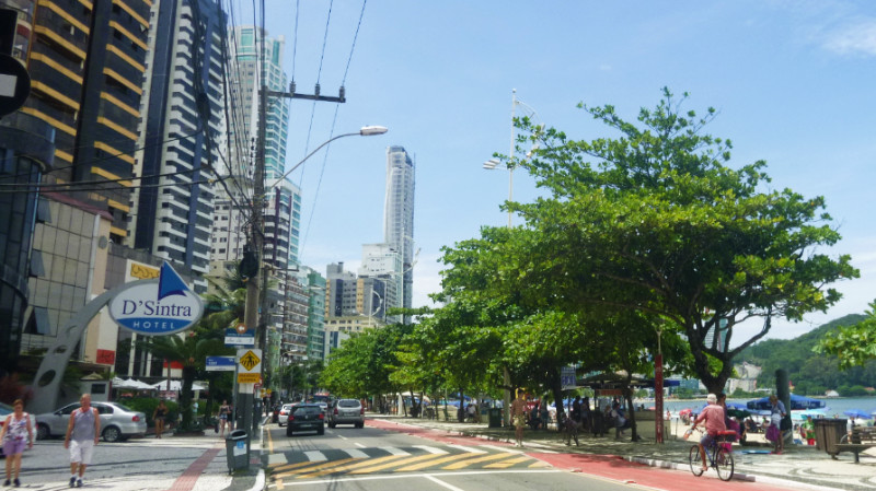 I felt like I was on holiday myself and stopped for an ice cream. Girls walked down the street wearing skimpy bikinis and thongs adding to the exotic ambience of the resort. Apart from the occasional signs in cafes requiring t-shirts, people carry on without being offended by semi-nakedness. It makes the UK look like it’s still in Victorian times.
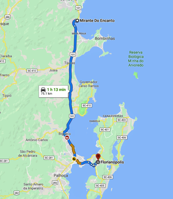
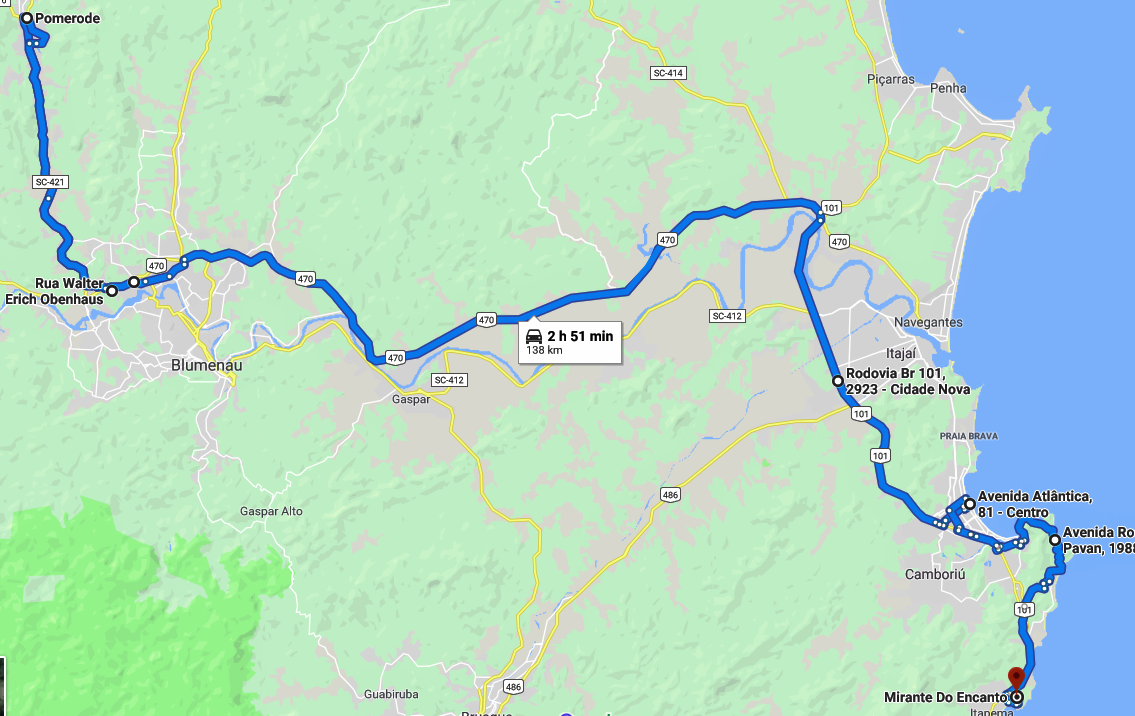
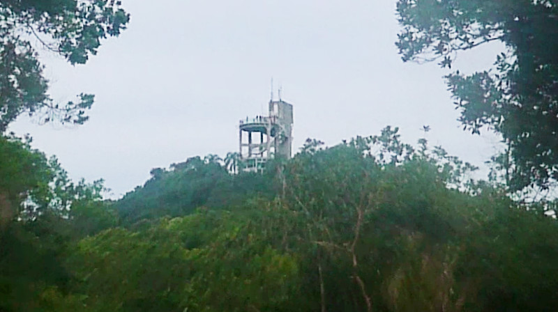 Finishing the ice cream, I decided I’d seen all I need of this pretty tourist trap, flick up the side stand and filter through the gridlocked streets southward. Sonia recommended the coast road of Avenida Interpraias and I weave my way to that, a scenic undulating coastal route linking idyllic Atlantic beaches. I didn’t stop except to check the map and plan where to stay for the night. There’s a Mirante not too far away at Itapema. Mirante do Encanto. I visualised it as a tranquil grassy mountain peak with perhaps a small monument. But no, I spotted its silhouette on the skyline from the BR101, a huge tower on a hill complete with a viewing platform.
 Up on the viewpoint is a picture postcard view of the bay to the south but I scanned the woods for camping opportunities and spotted some trash near a dirt track and traced a line made by a gap in the treetops to the likely entrance to the trail and returned down the stairs to the bike to go and investigate.
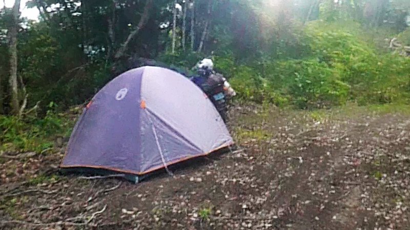 I had a peaceful night apart from the rain drumming on the tent and I thought about the return up the already slick slope I had slid down. The lane continued in the other direction to an excavation. I explored as far as I could but there was no way out and I returned to the slope riding up it as fast as I dared. I needed grip both for traction and for steering and I had little of either. I reached two metres from the top before I came to a halt and stalled the engine to stop it rolling back down. I dismounted pushing the bike with engine revving and rear wheel spinning carving a groove in the clay, but I made it to the top without having to unpack the bike. Even on the now level trail, it was difficult staying upright and I wobbled down the trail with my feet off the pegs to the junction with the asphalt continuing down the hill on the road from the Mirante.
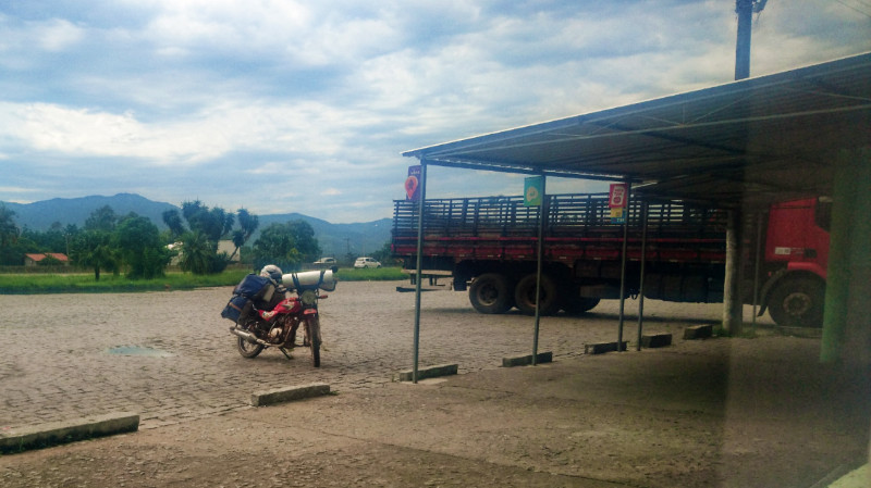 Stopping to check the map, cyclists stop to chat and take pictures of the bike and number plate and peddled away. The BR101 is close by and I join the everlasting stream of traffic south, pausing for brunch at one of the cheap and cheerful BR101 transport cafes along the way…
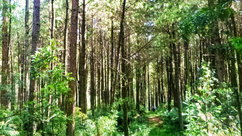
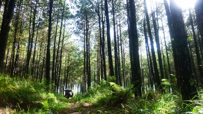 I awaken to sun filtering through tall pines, scattering luminous yellow patches dancing across the fabric of the tent. I lay there for a while, listening to the sound of the distant traffic ebb and flow. Unzipping the door reveals a picture perfect woodland morning and after a few handfuls of peanuts for breakfast, I’m up and out for the tedious task of packing away.
 In the distance toward the road, I see two men on the trail near the edge of the woods but they don’t look my way. I don’t know what they are doing but they are gone by the time I’m ready and wobble through the channel through the undergrowth. Engine still cold and underpowered, I have to gun it up the slope to the road and I just have enough power to make the grade and just enough grip to stay upright along the slick muddy incline out of the woodland shade and into the sunlight.
 Through the gap in the long grass, I have to stop my front wheel on the edge of the asphalt and bend over the handlebars for a clear view of the road, nothing is coming and I lean left towards Caçador and give the engine a burst of throttle.
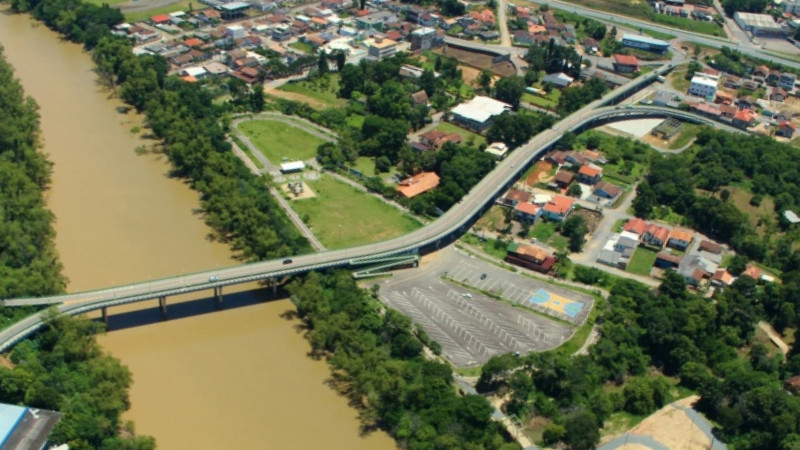 Harry Hobus Park is highlighted on iOverlander and after falling foul of the one-way system sending me south of the river over the bridge directly over the park, around a loop, back over the bridge into the other loops on the northern bank, I finally coast under the elevated causeway into the car park tailing a police car on patrol which circles the car park like a shark cruising for easy pickings before swimming away again…
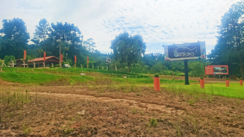 I spot the
 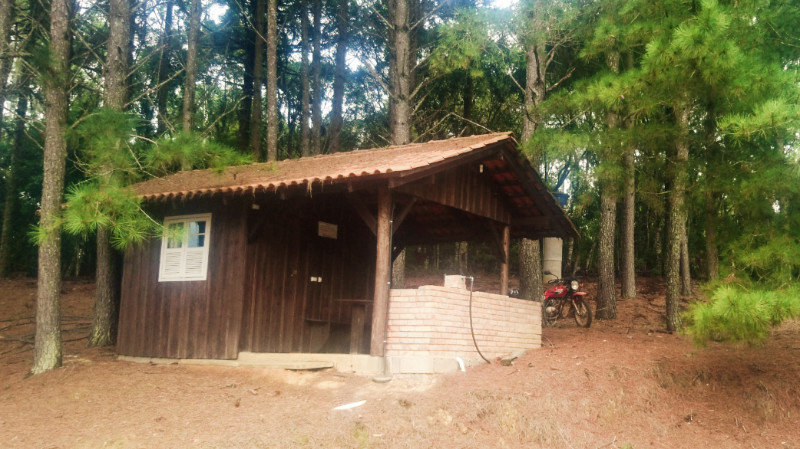 Tiago speaks fluent English, although rusty with disuse, and says I can use one of the cabanas. I say I’m fine camping, but my hosts insist and raise their hands with fingers pointing down in the universal sign for rain. “Chuva” they say. and they say for free when I ask how much. The condition is that I eat in the restaurant. It’s a fair deal. I’m hungry after my recent diet of peanuts and rolling countryside.
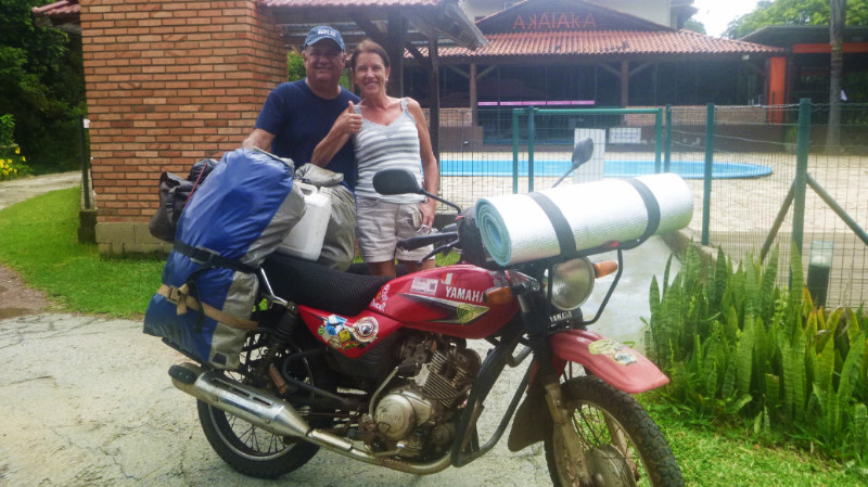 Akaiaka is a popular restaurant and I can taste in the food the reason why. This is luxury living, especially compared to recent days. Finishing the meal and catching up on messages, I retire to the cabana. A nice soft mattress, electricity, and shelter from the storm that rattles its chuva all over the roof. I flick off the light and watch the square of the stroboscopic window flashing from the storm behind the curtain. Thunderbolts and lightning… and I fall asleep with Bohemian Rhapsody on a loop tape inside my head.
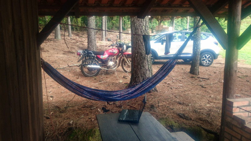 Sunday morning brings sunshine and I ask if I could stay another night if I buy another meal. The restaurant is closed so I offer to pay but they won’t have it. I feel like family and humbly grateful. The son’s cafe near the road is open until 7pm, so I eat there instead and get to know Marcelo and Laura who seem keen to learn English.
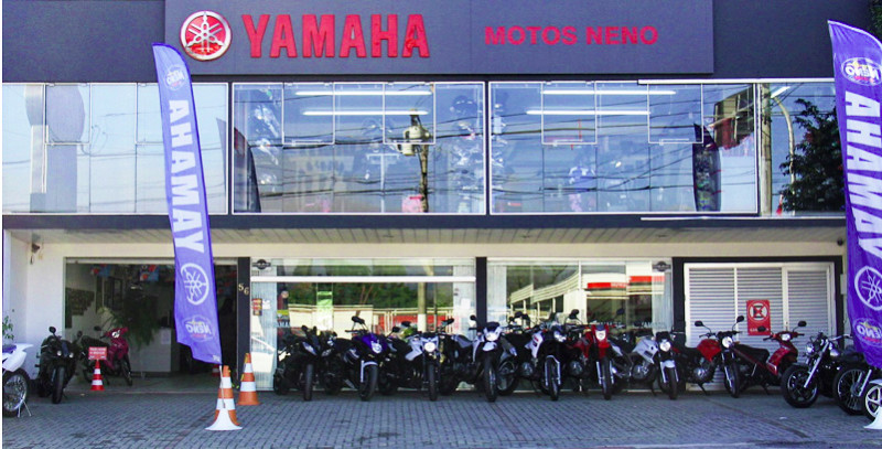 Over a beer, I meet Neno. Neno owns the Yamaha dealer in Rio do Sul and Blumenau, a successful motocross racer, having ridden to Alaska and back. He doesn’t speak English but was translated for asking if I needed anything sorted on the bike. I couldn’t think of anything and forgot to ask where the mixture air-fuel mixture pilot screw was on the carburettor. And the main stand is bent leaving both wheels on the ground… It doesn’t matter. The bike is running fine.
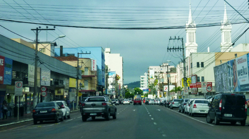 In the morning Mauricio takes me to breakfast in Rio do Sul. It seems everyone knows everyone and I listen to the Portuguese bounce around the cafe, kind of knowing the tune but not the lyrics. Then to Neno’s dealership and onto the grand church of Rio do Sul then the waterfalls on the way back as well. I’ve had the VIP treatment. I like it here and it’s hard to leave.
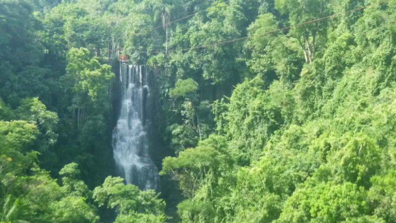 After a fond farewell, I’m directed to Blumenau and weave down the gravel track to the road and blend into Monday’s eastward flow of traffic along the Vale Europeu…
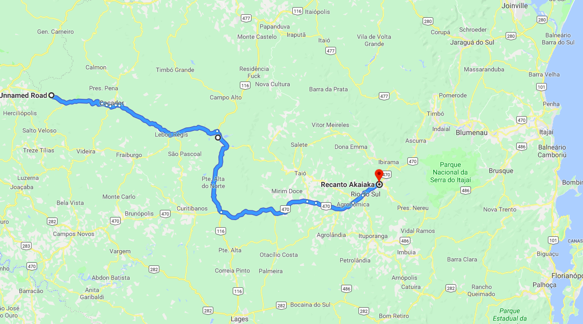
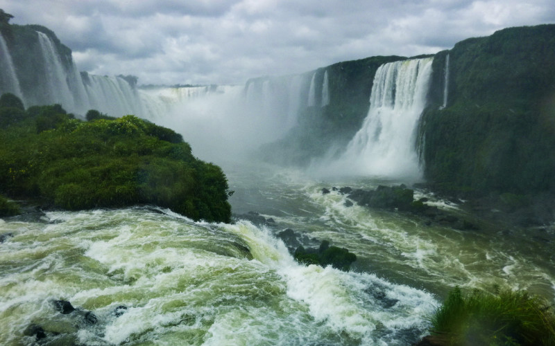 Iguaçu Falls had been one of the major milestones along my meandering path across South America. It was also responsible for my northerly track in Paraguay from Encarnación into Brazil instead of continuing south to Argentina. Thus, there was no longer a reason to keep me here in Foz do Iguaçu. I’d been here 5 nights and I have to beware of the smothering beast of ‘comfort’ sneaking up on me. Familiarisation of a location encourages roots of habit probing fertile ground for establishing a new home. The beast tells me “Stay here, life gets easier.” but what it does is use its cosy blanket to try to suffocate my spirit.
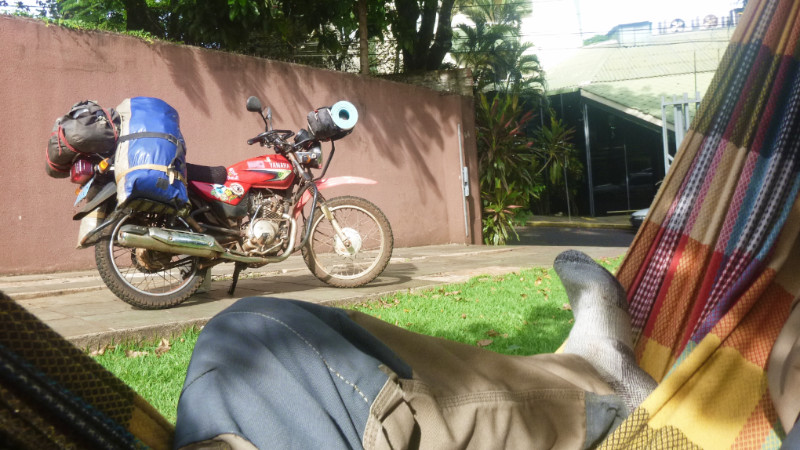 This morning was born hot and airless, whipping up a lingering sweat from the lethargic effort of packing and loading. I had one more rest in the hammock to cool down and gather my thoughts before taking off. “I’ll have to get one of these…” I thought to myself. Especially after the lack of places to rest at Tati Yupi. I’d short-changed myself by not buying a hammock sooner.
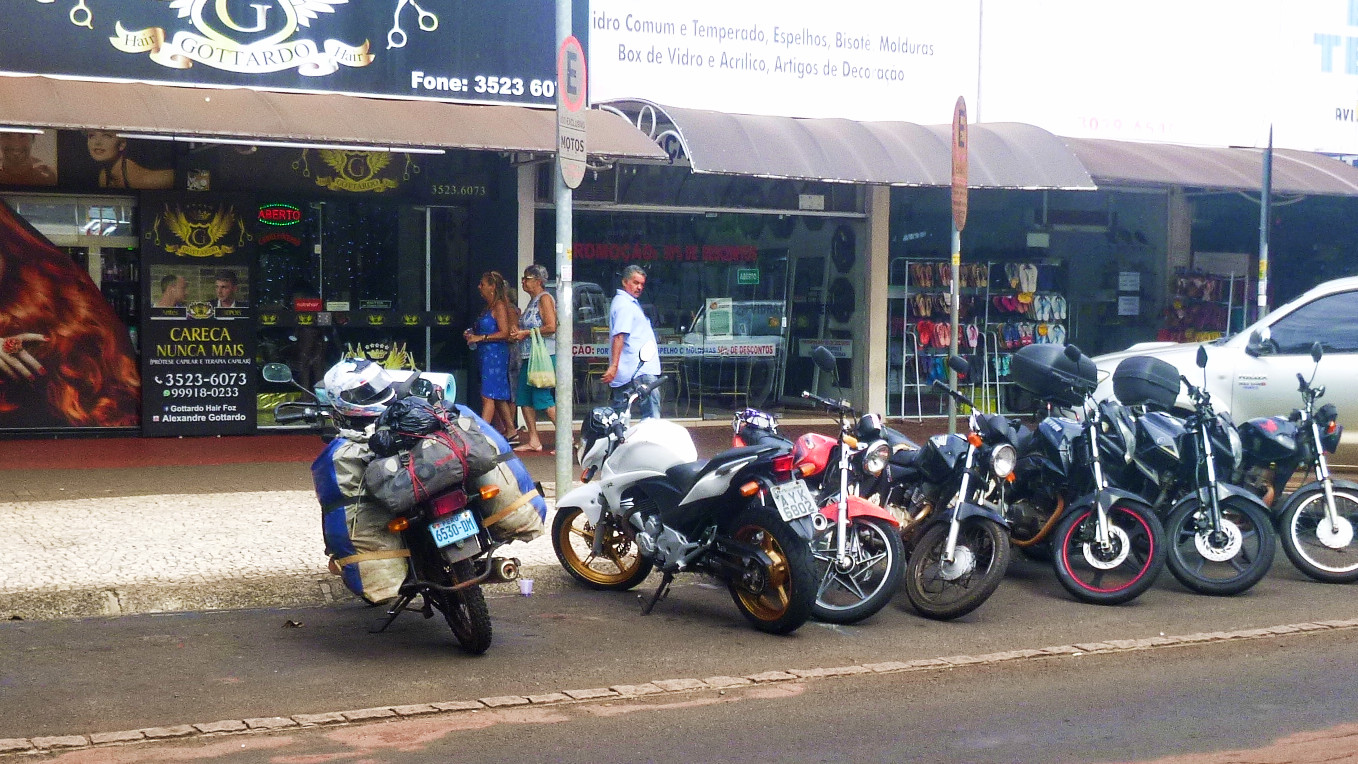 On my way to Ruta 277, I discovered the kiosks where the hostel receptionist said I should look. Cheap. Only about £15, and I double strapped it, still in its black bag, on top of the luggage on the back of the bike.
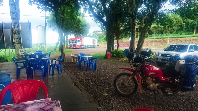 The further from Foz I got, thinner the traffic became and two hours saw me about 150 kilometres away with dark clouds looming over the horizon ahead of me. Right then, a convenient cafe appeared around a bend.in the countryside. Just the job… an oasis of relief from monotony and foul weather. My waterproofs had blown away somewhere between Cuidad Del Este and Tati Yupi so my revised tactic was to dive for shelter before encountering rain and wait for it to pass.
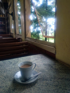 I’m ready for a break after two or three hours and I use this opportunity to enjoy a coffee during the shower and search the web for somewhere to stop for the night along the way. A lakeside wild camp spot at picnic area pops up on iOverlander.com, just to the south of Ruta 277 at Rio Bonito do Iguaçu, 300km from Foz. Another three hours and I would be there. After about an hour and a half enjoying the coffee and peaceful ambience while watching the showers come and go, the weather noticeably brightens up and I hit the road,
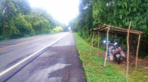 A couple of hours longer in the saddle, I’m cold and tired and had already ducked into bus shelters during brief showers and a false alarms by the time rain started to fall consistently at Nova Laranjeiras.
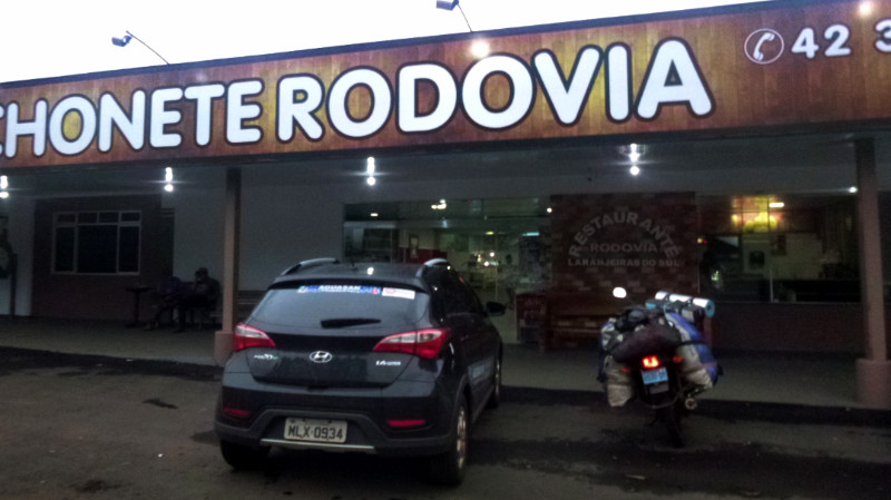 I’d had enough of the fast and aggressive Ruta 277. What use is travel if it’s only about saving time? Where will that saved time be spent? It’s not that I didn’t like the road, it was the attention that the fast traffic took from me. I wanted to enjoy the scenery and the journey here and now. I plotted the following day’s escape on the GPS searching for “The Road Less Travelled,”
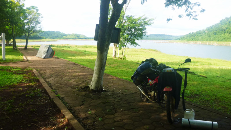 The warm morning sun dries out the tent while I’m packing and I’m away by 10.30. I feel content in the dry warm air under a blue sky marbled with white cloud. It should be a good day for drying out in the airstream on the bike. People sit in the cabana about 60 metres away and I give them a wave wondering whether I should offer to pay for camping. I decide to coast out of the park slow enough that they can approach me if they want to. Nobody moves and I retrace the trail back to Ruta 158 and turn on my revised route south.
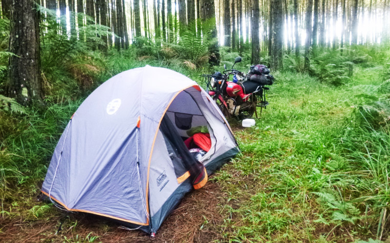 Down a slick muddy slope, I turn right onto wet grass and pine needles to discover another narrow track traversing a ridge. High ground is what I need if it’s going to rain again. Over the ridge and down the slope is a beautiful pond. The water looks too green to drink and the ground is too low to ensure dry camping so I return up the slope to the crest of the ridge. I can see traffic on the road from here about 100 metres away but they can’t see me this far into the woods and I pitch the tent on the crest of the ridge directly on the trail. I expect no traffic due to the established plant growth all the way along it.
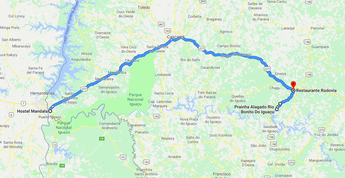
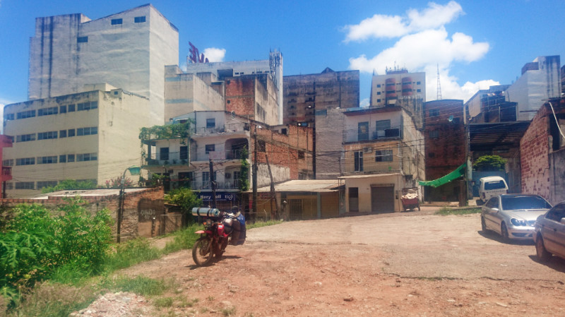 Ending the fast and leaving Tati Yupi felt as if it were my first day out of prison, Reintroduced to society with freedom to roam again. I enjoyed Tati Yupi but I had been keen to escape my self imposed austerity. The meal at Hernandarias had been an anticlimax: functional food with little enjoyment.
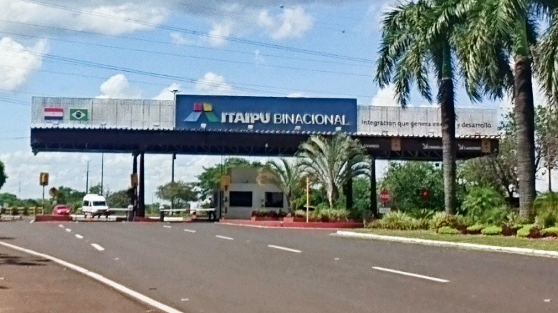 I cruised the few short kilometres and parked my fully loaded bike in the ITAIPU Binacional Car park and signed up for the tour. I bought a hat from the gift shop to protect me from the sun but I didn’t need it. There was little walking between the buses and the viewpoints so I just looked like a dam tourist.
 I had booked into Hummingbird for two nights and would have liked to have stayed longer but they had already been fully booked for the weekend. Instead of looking for somewhere else in Cuidad Del Este, I decided I’d cross into Brazil and find somewhere to stay in Foz do Iguaçu. It knocks down a barrier for thinking further ahead for my continuation to the Atlantic coast.
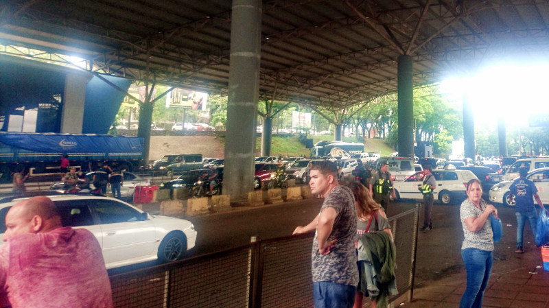 The border offices are at each ends of the bridge. Migraciones was straightforward. Stamp, vamos. Paraguay’s Aduanas offices were hard to find and turned out to be the little blue kiosks between the carriageways. They looked like toll booths. I handed in my blue form and was waved away without any receipt or acknowledgement.
 Mandala Hostel came up cheap and close to the centre of Foz do Iguaçu on booking.com and I booked 5 nights, straight off, via Hummingbird’s WiFi. It’s always a risk committing to a long stay but I wanted a secure base for exploring the falls and catch up on some work.
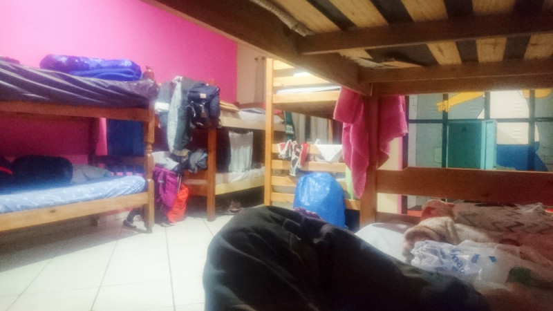 Foz do Iguaçu is the second most visited tourist site in Brazil. Consequently, backpackers would come and go at all hours. Russel and Zippy weren’t shy about living amongst people. Russel would fumble through his various plastic bags and Zippy would search through every compartment of her rucksack unzipping and zipping them up one by one as she went and repeating the process until whatever item was eventually found, often under the light of an Iphone LED light that could rival a small star so as not to disturb anyone by flipping on the light.
 The bus terminal was packed. I’d got there early so as to beat the rush along with everyone else in Brazil having the same thought. Once on the bus, driving through the forest cooled and refreshed me ready for the stroll along the river.
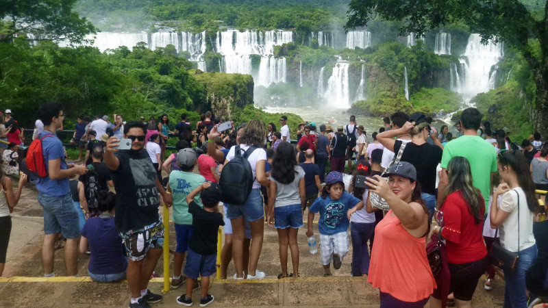 We all evacuated the bus at the first viewpoint to jostle for a good view and photo opportunity of the falls before we drifted down the path in a herd. The mammoth falls roar through the valley parallel to the trail. Selfie sticks and arms stretch out across the trail to obstruct the dense flow of tourists along the narrow path. Even the most leisurely of paces is forced down to an energy-sapping dawdle.
 Success in passing one group allowed a brief few paces before being blocked by another. I told myself there was no rush and to go with what there was of the flow. this was a strategy difficult to enjoy. Ducking under selfie sticks felt far more progressive and engaging whatever the result.
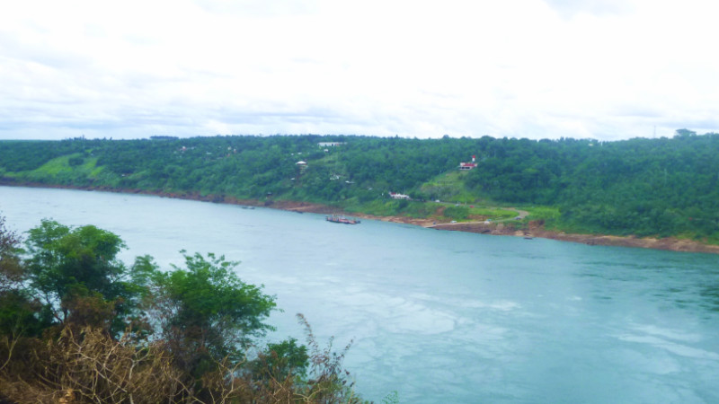 On the way back to the Mandala, I took a detour to see the triple frontier from the Brazilian viewpoint. In contrast to the Paraguayan side, which you can see in the picture, this view to the triple frontier had been fenced off and sentried by a ticket office. Restricted to paying customers only. Artificial scarcity is a great business strategy: take what’s already free and sell it back to people. I’d already seen the frontier from Paraguay anyway and I could see Paraguay from the car park for free so I looked across the river thinking about tomorrow’s visit to the Argentinian side of Iguaçu Falls.
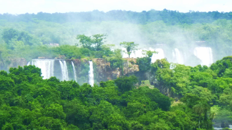
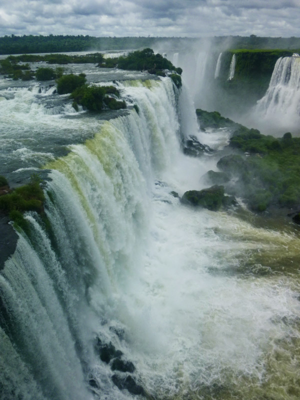 There’s no denying that the Iguaçu Falls is an impressive experience but the density of tourists helped me decide that I wouldn’t bother going the following day, especially with the added inconvenience of Immigration and Currency Exchange. I’d be better off helping ease the density for everyone else by staying away. I don’t mind doing my bit to ease other’s suffering… Instead, I decided to visit the Parque Do Aves (Avery, or bird zoo) that I’d passed earlier on my way back from the falls…
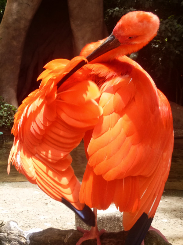
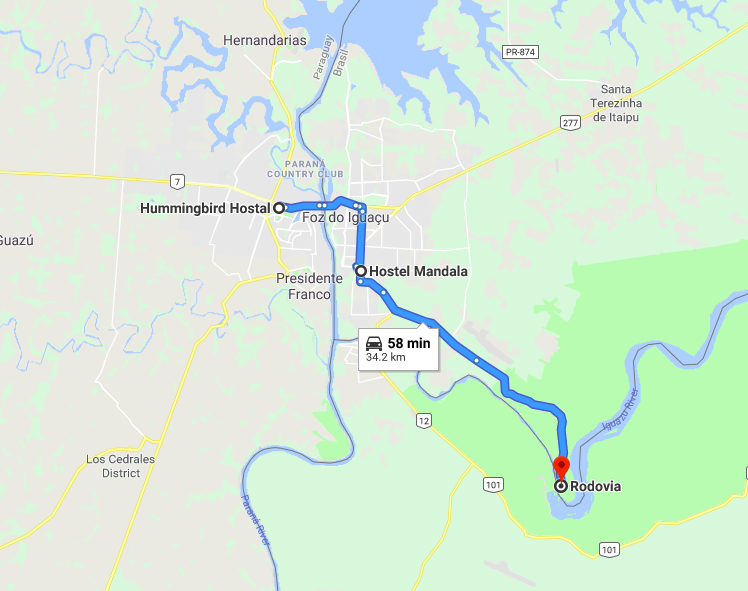
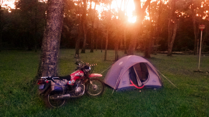 Turning north onto the supercarretera from Ruta 7, the airstream blew the edge off the heat of the afternoon sun, I reflected on the enjoyable day and its variety that emerged from another step into the unknown and the unplanned. I’d coasted around Cuidad Del Este, killing time I would have called it in the past.
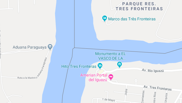 The Triple Frontier: there’s nothing to see apart from a couple of lookout points that look out over imaginary lines from a different direction, almost like the tale of “The King’s New Clothes” Man-made lines drawn on a map that exist in reality only by collective belief and then define which set of rules apply to which people that live on whichever side of the river. The trees and plants look the same. The bird that flies over my head across the river to Brazil has more freedom that we do. Where’s its passport? I take a photo over the river anyway. Invisible walls that are used to imprison ourselves using our own minds. It’s brilliant.
 I realised I’d been daydreaming and couldn’t tell how long ~I’d been travelling or how far I’ve gone and pulled over to check the GPS. I’d passed it 8km back, quite a way considering the original distance was only 17km. I doubled back to an entrance with a sign the size I can’t believe I missed.
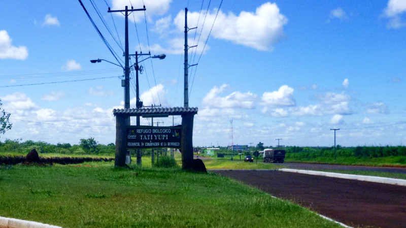 Two guards asked me for my permit. I didn’t understand what they wanted and handed them my passport so they phoned Juan at the visitor centre who instructed them to send me in. They point along the track. “7km,” they say.
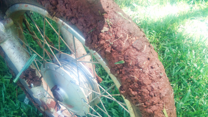 There had been rain recently, within the last day or two judging by the thin dry crust concealing the underlying slick and sticky terracotta. The clay coagulated on the tyres, eliminating what little grip I had and I slithered along the road trying to follow the dryest looking tyre tracks to stay upright.
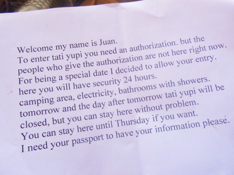 The Parque is closed to visitors for the next two days. I felt fairly privileged and I wasn’t really expecting to gain entry so easily else I would have thought about buying some food on the way. With the guards on the gates and the long slick driveway, it was enough of a deterrent for going back out for groceries.
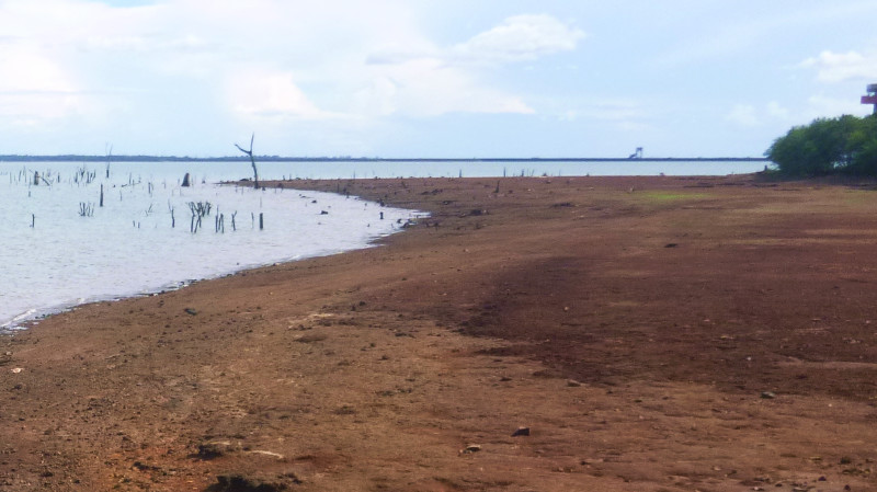 The staff left the office for the new year holiday and would be back in a couple of days. There was just me, a couple of guards on the gate and the drowned ghosts of the river Paraná. I was 7km from the road so could hear no traffic and there were no fireworks or boom boom music. Apart from food, the only thing I missed was somewhere comfortable to sit. Wooden benches were all there were. WiFi was out of range of the power sockets so a relay between the two sets of hard benches was necessary. I found it hard to concentrate, having no comfortable workspace.
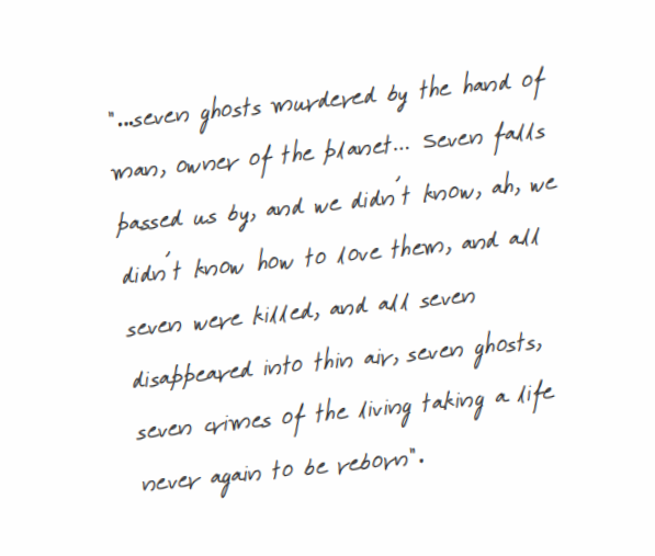 The water was lower than maximum revealing the sharp mussel shells on the dry beach of cracked mud. Enough to turn me back to the soft grassy bank from where I embarked barefoot to the water for a swim.
 I’d done 24-hour fasts before but this experiment was different.
 It was hard to tell if there was any benefit for the fasting. True, I felt good now but I didn’t really feel bad before. And how do you gauge a healthy immune system without the illnesses that reveal its weakness? It reminded me of the preventative Y2K work that was done in 1999 and bosses complaining about wasting the money on it since nothing bad seemed to happen when the year 2000 clicked over in the digital universe… As it was, I’d only been ill twice in the year I’d been here in South America. Once through dehydration and once as a side effect of the Yellow Fever jab: both self-inflicted.
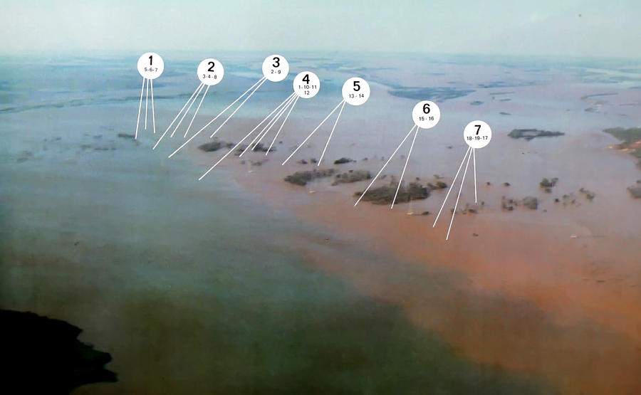
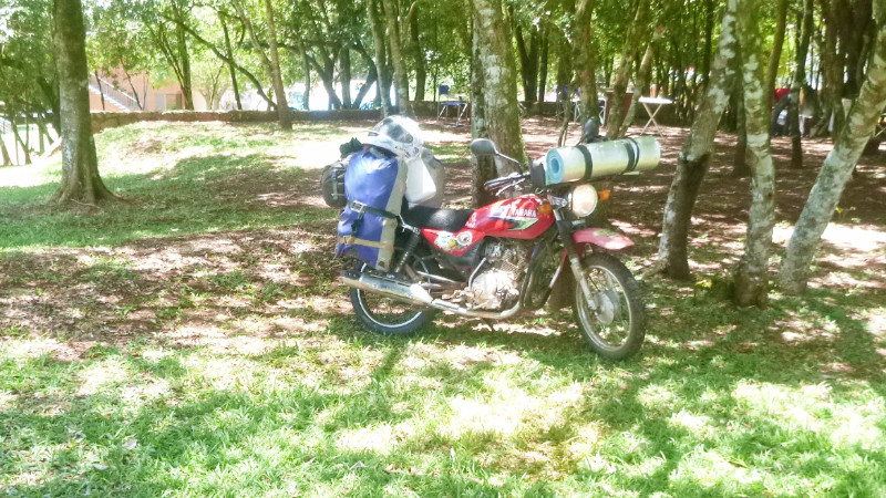 ON THE THIRD morning, I packed away, at Parque Manantial, and was away from Hohenau, through Obligado and Bella Vista northwards on the 250KM jaunt along Ruta 6. Within a couple of hours, black clouds closed in and I raced the storm to the next petrol station 3 km up the road and only losing the race by about 500 metres, enough to get wet but without getting soaked through, and sheltered under the canopy of the fuel station licking an ice cream over the twenty minutes of rain.
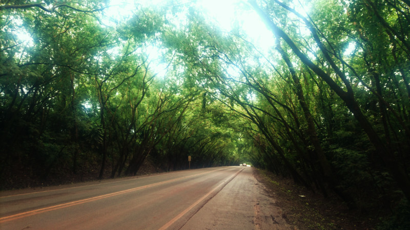 I resumed my journey, drying out in the cool post-storm air. Ruta 6 is fast and busy but not half as much as Ruta 7 running east into Cuidad del Este. High-speed dual-carriageway thick with trucks and buses. I could use another 20km/h to feel safer but don’t want to rev the engine that high, even if it could reach that speed.
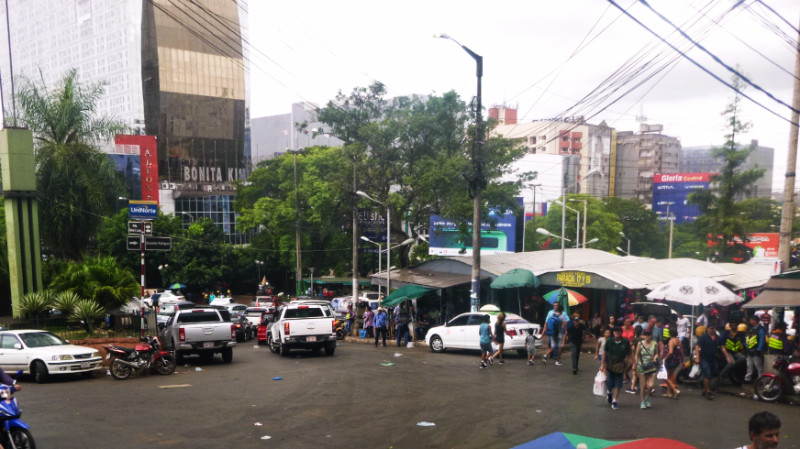 Entering the city, I take the service road with its speed humps so I can slow down and look around more. Ruta 7 ploughs on through the heart of the city and eventually over the Rio Parana bridge on the Brazilian border.
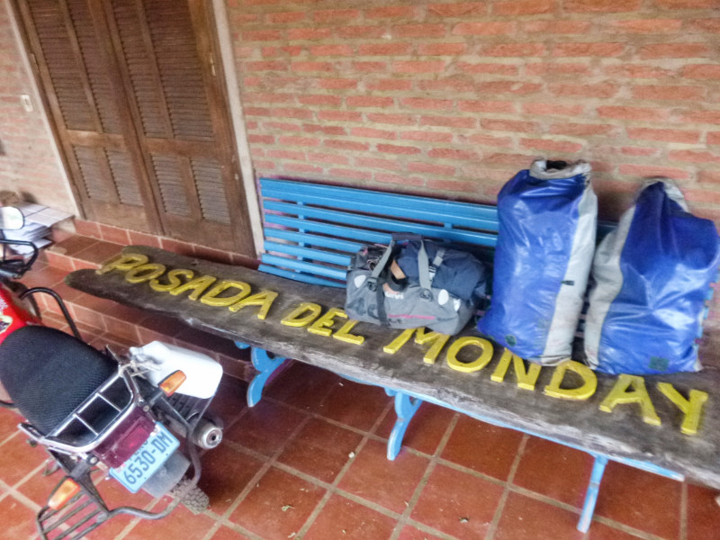 I find my way south through the city to Pousada Del Monday, counting the junctions on Maps.me as I go. Pousada del Monday is a farm on the suburban edge south of the city next to the Saltos del Monday park (Monday Falls.) Mario finds it hilarious that I say in English Monday means “Lunes.” It’s a Guarani name and not the day of the week.
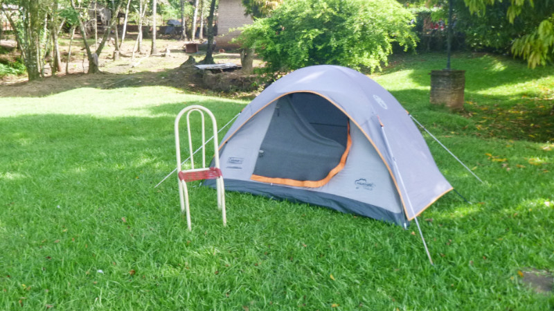 After pitching the tent, in the field, I stroll up the shop to buy a beer as a substitute for dinner and return. The deposit on the bottle is as much as the beer. therefore, you see no glass beer bottles littering the street… just plastic. There’s not a whisper of a breeze and my tent feels like a sauna so I wander across the field down to the picnic shelter to enjoy the beer while watching the sunset. Darkness slowly descends and I return to the tent and zip myself into the muggy interior. Saturday night music blares from over the treetops in the near distance. Fireworks pop and bang. Predictable, even though it’s only 29th December, it’s still Saturday night.
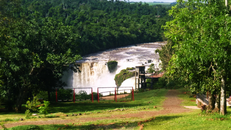 Pulling out of the gate, I ignore Saltos del Monday Park since foreigners are charged five times more than locals for entry, at $10US, and settle for a photograph of it from the road. I was hungry so the priority was to hunt for a cafe for breakfast that’s open on a Sunday.
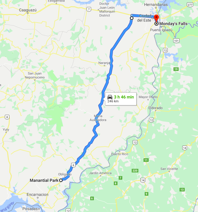
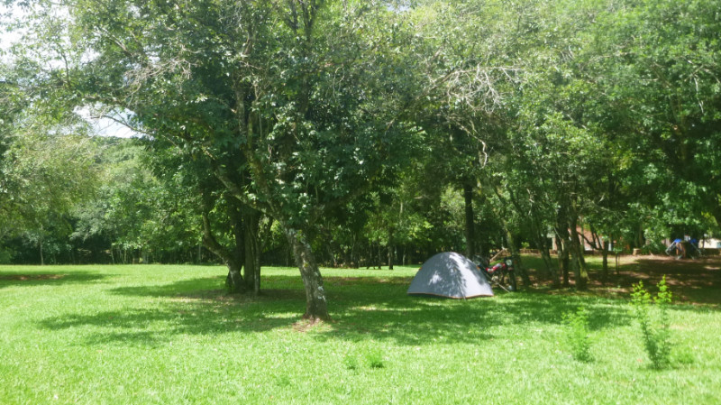 BOXING DAY, PACKING to leave the Maui Waui International Hostel in Encarnación, I notice the new back tyre is flat and cursed the Chacomer fitter back in Asunción. The bike is now fully loaded and I give the tyre a splashy kick to confirm its soft appearance. I don’t want to deal with it now so I inflate it and hope for the best. The pressure holds without any noticeable drop in the 5 minutes I finish tying up the loose ends. I smear a film of spit over the valve and its bubble remains flat. The leak isn’t at the valve.
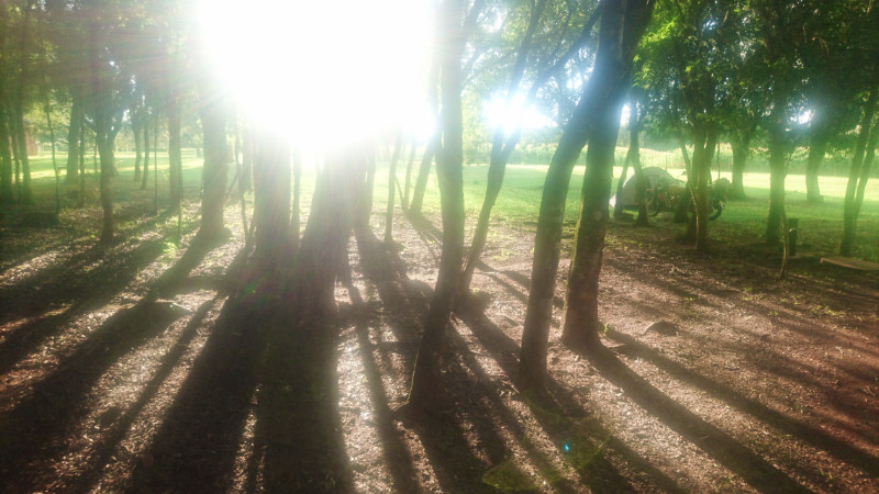 I pitch my tent on the edge of the woods and the grass field furthest from the swimming pool. Good thing too as the usual bass rich music starts pumping out of a speaker down near the restaurant.
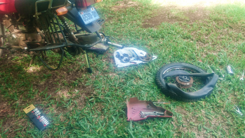 Parque Manantial is a well-presented place in woodland and fields over enormous grounds, hosting a popular swimming pool and smart restaurant. The location I had chosen to camp was far enough away to feel private. There are power sockets and I am at the limit of a WiFi signal but I’d go to the Restaurant for better reception.
 The buffet breakfast is delicious and the air conditioner in the Restaurant makes for luxurious relief in the muggy heat. Back at the tent, I break out the spares and tools and replace the inner tube of the back tyre and discover a hair’s width piece of wire in the back tyre, penetrating the inner tube.
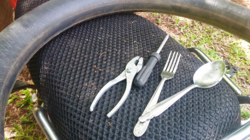 My suspicions about Chacomer were unfounded. In any case, I had taken a week to get to Encarnación without any problem. I took it all back forgiving my suspicious nature and apologising quietly to my innocent victim. I need some tyre levers to make the job easier. Bendy spoons and pliers make hard work of the task.
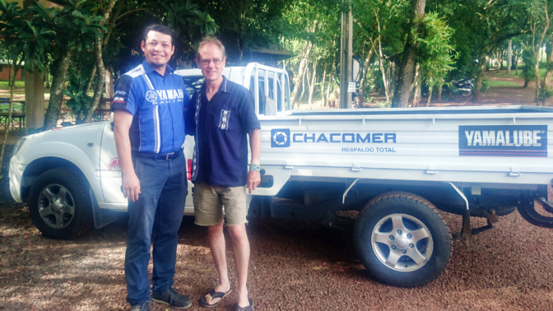 Victor Hugo Benitez approaches me in the restaurant on the second morning. He’s the Chacomer Yamaha area supervisor for the whole of Paraguay and invites me to a barbeque at one of the dealers that is exhibiting the latest Yamaha bikes in Hohenau and I gratefully accept.
 Apparently, Hitler also lived for a time in the basement of a Hotel in Asunción. This was something that seemed to be commonly accepted knowledge in Paraguay. When I think back to my own spoon-fed history, I was told by my state-run institutions that Hitler shot himself in his bunker but I never questioned the lack of evidence. And why bother lying about it? And what else do they lie to me about? When I think back to how I was promised life would turn out if I went to school and worked hard, it was mostly lies for getting me to participate in a post-industrial compliant workforce. And getting robbed of my life’s gains by the Mortgage securities fuelled credit crunch in 2008 was the final straw. Never again…
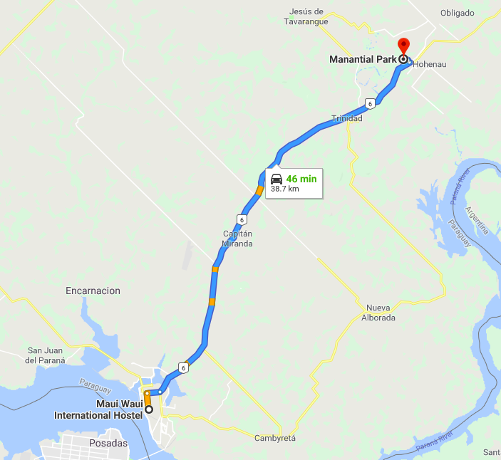
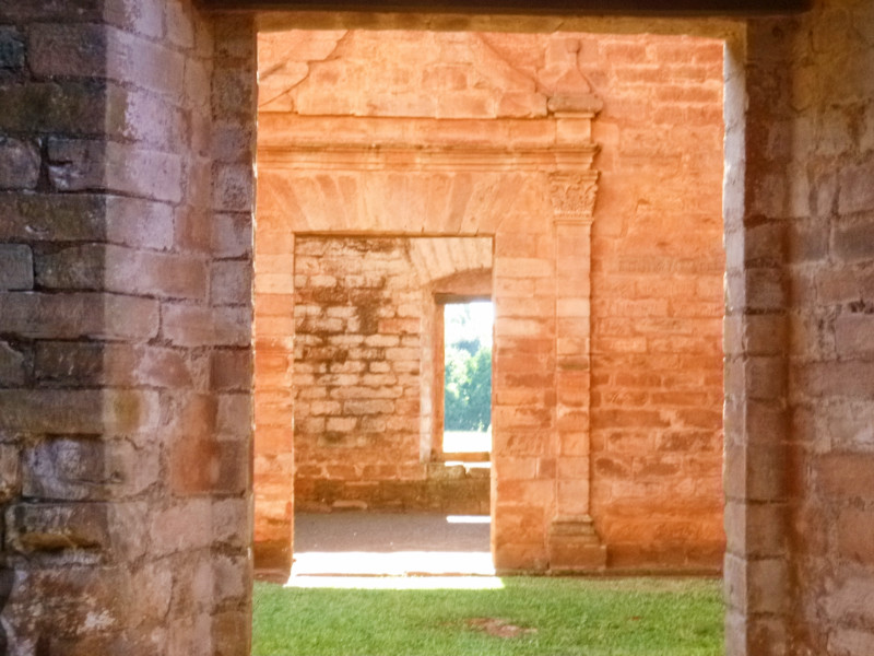 STRIKING CAMP AT San Cosme, I retraced my way back through the grassy network back up to the Observatory on the Plaza.
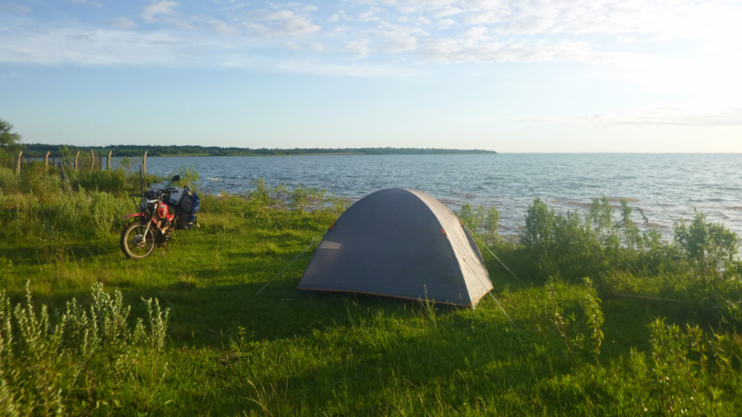 Then took the ludicrous decision to head for the Trinidad and Jesus de Tavarangue missions only because I already had 2 days left of a 3-day ticket in my hand. These were 40km further on from Encarnación and I would pass them later anyway on the way to Cuidad Del Este. For the sake of £2.50, buying another ticket made much more sense, if only I had spared the thought.
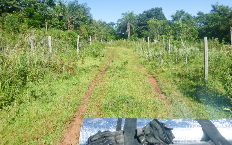 Another short leg of 125km meant I could set off late and look around the San Cosme Mission between combing the surface of the sun for sunspots and pushing on for Encarnación along the solar heated asphalt.
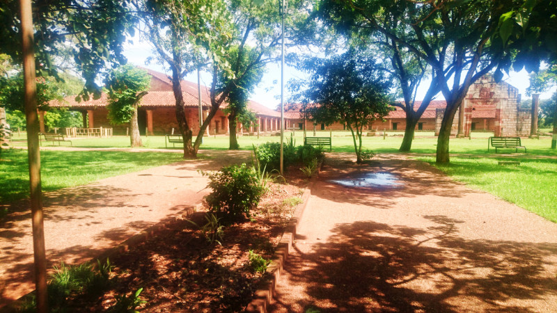 Unesco denied issuing a world heritage certificate to the San Cosme y Damian mission as it had been restored too much. Unesco likes things to be a little more ruined. I liked it restored. Besides, there are two less improved ruins not far away and they give a good contrast to a common template: the layouts are basically similar.
 A hot, bright day made the going tiring. Keeping the pace fast and swinging out of the way of the speeding trucks and buses away from the line of sight of the tired driver’s drooping eye-lids, I stopped to rest in the shade of a bus shelter about 15km from Encarnacion.
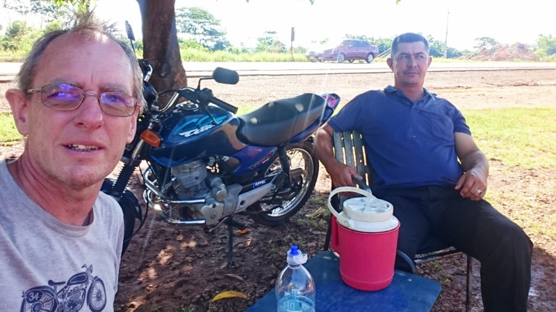 Aristedes is his name and he runs the tyre shop right opposite the tree but there was no-one around to keep him busy. He straightened up a ubiquitous plastic patio chair, the modern emblem of third world living, and asked me about my trip. He showed me his Honda Titan 125 propped next to him, cleaner than mine and probably newer, and talked bikes.
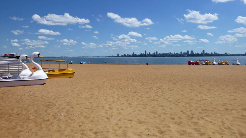 Arriving at Encarnación was as if I were transported to a laid back version of a European resort town with its seafront. Sunshine brilliance. I took a detour, turning right along the costa instead of left, inland towards the missions.
 I pulled over to the curb, kicked down the side stand and climbed off the bike to walk along a pier and take some photographs before continuing along the promenade following the river. The road followed a long gentle right-hand curve around the contour of the river followed by a long smooth left, banking slightly, a jolt and grinding noise shook me to attention. I’d forgotten to flip up the side stand and had been riding with it down for about a mile and the left-hand bend now brought it into contact with the road lurching me toward the side of the road.
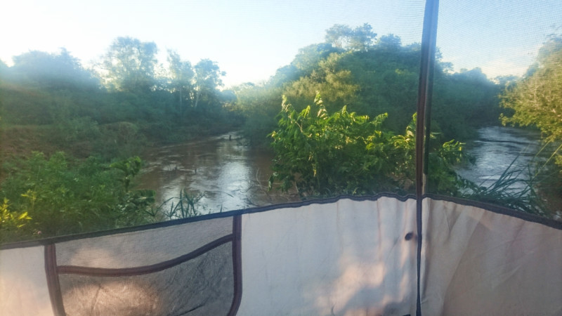 iOverlander indicated a wild camping spot between Trinidad and Jesus de Tavarangue. Ideal looking location on paper or screen. I meandered through Trinidad and caught a glimpse of the ruins from the viewpoint on the hill before continuing to the camping spot. The access wasn’t readily apparent and I passed it looking for a more obvious entrance but this was it, a drop off a large step of asphalt onto a steep loose earth lane down a fairly steep slope to a flat area only about 30 metres from the roadside but mostly hidden by the riverside woods.
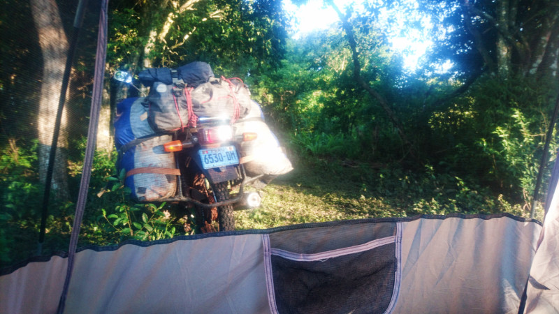 The bank to the horseshoe-shaped river bend was steep and loose and the water an uninviting coffee coloured turbulence about 8 meters below where I decided to pitch the tent. The amount of litter suggested I was unlikely to remain alone here all night but I was happy with it and it didn’t really matter.
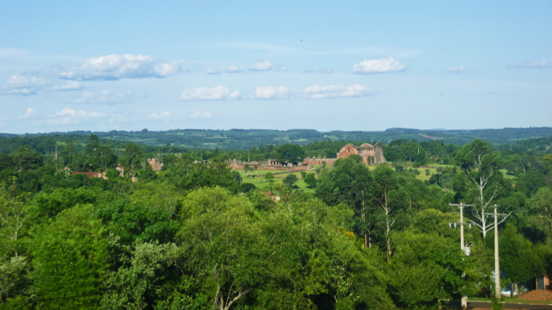 Today was Christmas eve and the opening times of the mission at Jesus de Tavarangue was unaffected. Business as usual. It’s a beautiful site but it doesn’t take long to wander around and take pictures. I’d finished within a couple of hours at a gentle meander resting at the viewpoint taking in the vista of trees and green fields. This could easily be Northamptonshire on a hot sunny day. Rolling green hills, stone buildings and fluffy white clouds. If I were there, maybe I’d be heading my family’s way for Christmas… who knows? Anyway, the sun was climbing high in the sky and reminding me I’m not home in the cold…
 Bradt’s guide suggested embarking early to Trinidad since there was not much shade and it gets hot in the afternoon. The heat was already building here but I figured, I’m right here anyway, get it done in the heat and ticked off the list.
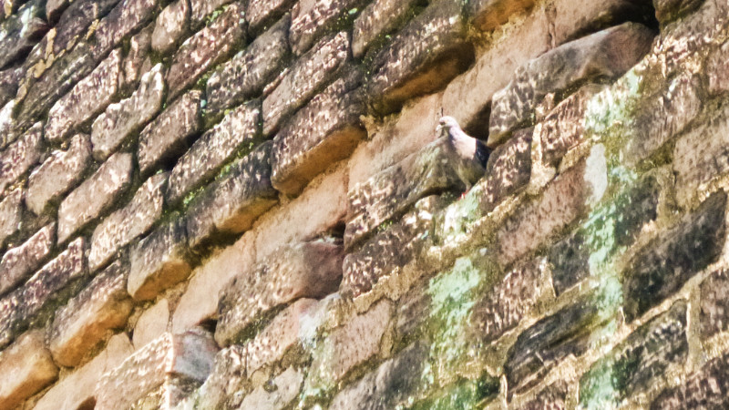 The Trinidad mission is more spread out and has less shade. By noon, the midsummer sun was virtually directly overhead, only two or three days off the solstice, so the walls offered not an inch of shade. Halfway round I climbed a fence and rested in the porch of an abandoned church just outside the perimeter to read some more of the guide while pretending to cool down.
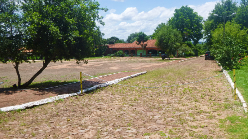 The springy lawn felt like I was walking on a mattress. Walking felt energy sapping on every stride, like some authority imposing a tax on each step. There was more ground to cover here but I thought Trinidad lacked the quaint beauty of the mission at Jesus de Tavarangue. Afterwards, I dropped into the hotel near the ticket office for some lunch and refreshment. A woman with a beaming smile walked in. I asked her if she knew any good camping spots here, mainly for conversation but open to changing my plan of returning to Encarnacion. She didn’t know but escorted me to the Mission ticket office where she translated what the ticket office staff told her. I’d already been up to the hill with the viewpoint they were talking about before settling at the riverside woods and it felt too exposed for me. I just said thanks and left with a wave an adios. I wouldn’t see them again anyway.
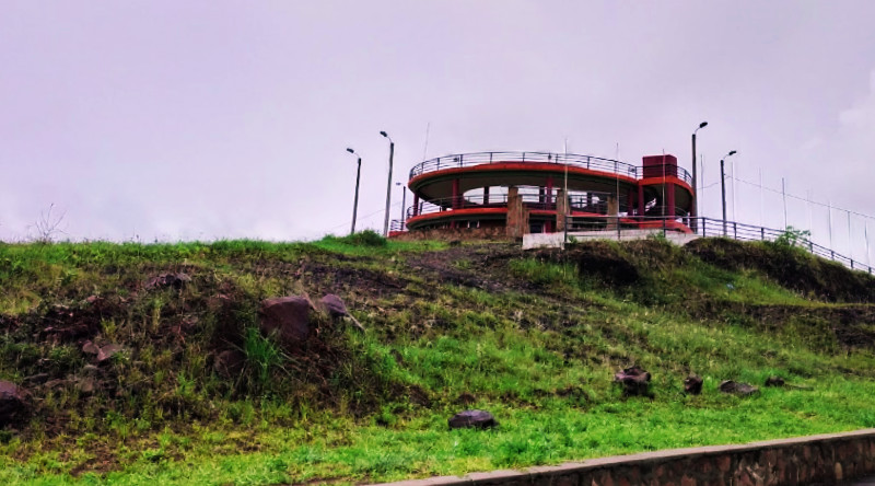 Trinidad was closer to Encarnacion than Jesus so the journey back didn’t take long. Cruising the streets, eyes peeled, I didn’t notice many hostels and there weren’t many listed on my apps, particularly at the budget end. Checking iOverlander, Maui Waui was just a block away around the corner and I pulled up outside. Nobody about so I waited in reception for half an hour on the WiFi until Jorge, the receptionist recovered from a siesta.
 Jorge invited me for barbeque but it when I asked when we would eat, it was going to be about 10pm. I don’t like eating that late and declined but stayed up sipping beer while Jorge was cooking. A tall European who spoke impeccable English but chose not to asked us what kind of music we liked. The Doors was one, Creedence Clearwater Revival was another. Classic Rock from way back using real instruments… anything other than thumping bass and electronic crap that drowns out a good time in night-clubs.
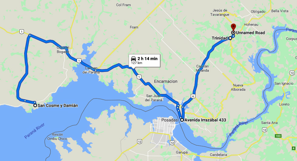
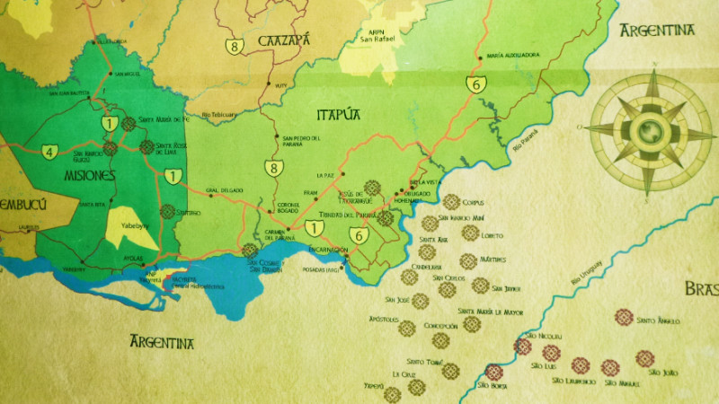 AT BREAKFAST THE next day at the Santa Maria Hotel, the rain eased back to a soaking translucent grey mist and I packed and loaded the bike in the soggy hotel garden. The sky still clung to a thick blanket of cloud but the sun seemed to be quietly slowly burning off the layers above turning them from grey to white and eventually poking through holes of cobalt blue.
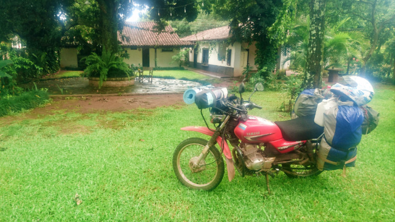 The smooth, dry, yet unspectacular run southeast was punctuated by a detour through a couple of cobbled towns to see what was left of the Jesuits, not too much I have to say but the break from the endless conveyor belt of asphalt and the hum of the little engine broke up the hypnotic state it tends to induce. I passed a sign to San Cosme at a modern junction that looked arrow straight to the south and decently surfaced. Maps.me had routed me out of Coronel Bogado 11km further down the road so I blindly followed that to discover a 24km dirt track recently doused by rainstorms turning it into a long, slick, bruising and laundry hazard. I doubled back to the junction I had passed earlier and enjoyed the straight dry road into San Cosme y Damian, once more, promising my eyes that I would trust them more than the phone app.
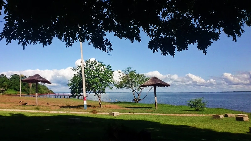 Having 4 hours to kill, or make use of, I decided to ride down to the ocean-sized River Parana. the road led south of the plaza, past the Jesuit Mission, down a gentle slope about 15 blocks to a large riverside park of scattered trees with picnic areas beneath. A few families were relaxing and splashing in the cool blue water. This looked like an ideal camping spot if it wasn’t for the fact it was a Saturday. Saturdays bring out the boom boxes and families that tend to party late into the weekend and this looked a prime venue for that sort of thing so after chilling in the hot shade of the riverside trees, I coasted back inland a block or two to probe the grassy, less-travelled lanes between the fields to the southwest of the town and happened upon a perfectly remote spot a couple of hundred metres down from the marina. I marked it on the GPS to find after the visit to the observatory in the dark.
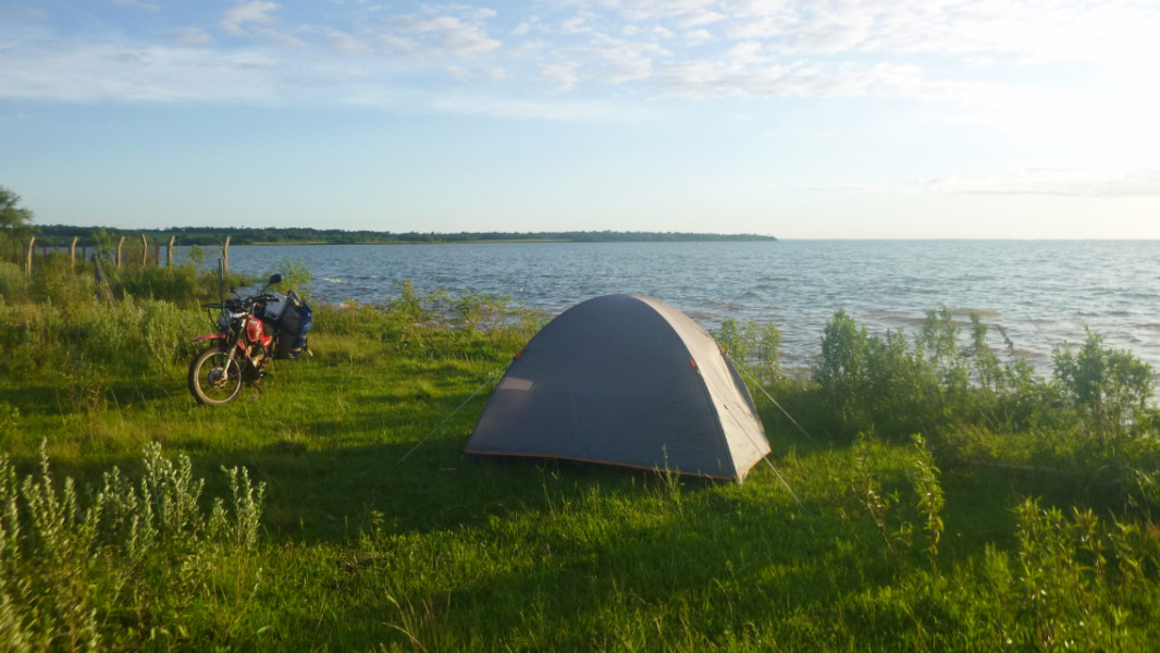 I spent the rest of the afternoon in the cool of the cafe catching up on the Wi-Fi and admiring the immaculate looking mission over on the opposite side of the plaza, without the worry of where I was going to comp.
 The full moon illuminated my path along the cobbles, dirt and grass track back to the camping spot and pitching the tent was just as easy as if it were day time. The reflection of the moon danced on the river reminding me of my time on Glee moored in Sint Maarten. The only thing lacking was someone to share this moment with. Lying back staring at the moon framed by the tent door, the lapping of the water on the bank sang me to sleep.
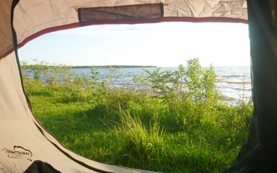
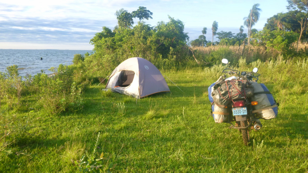
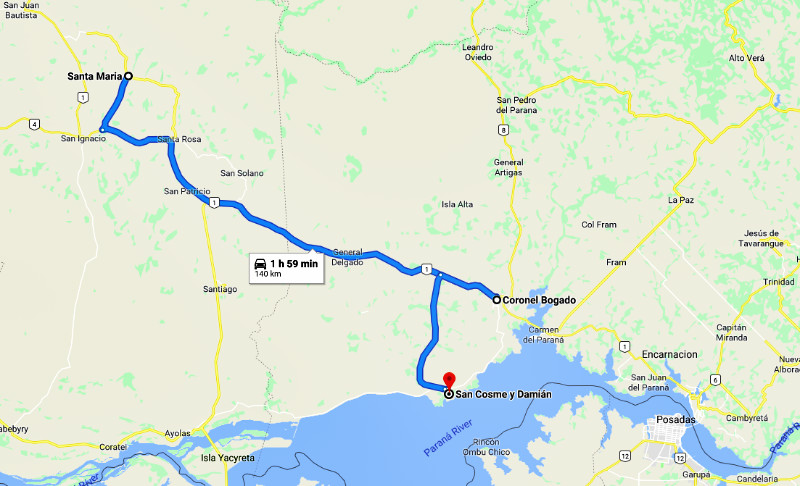
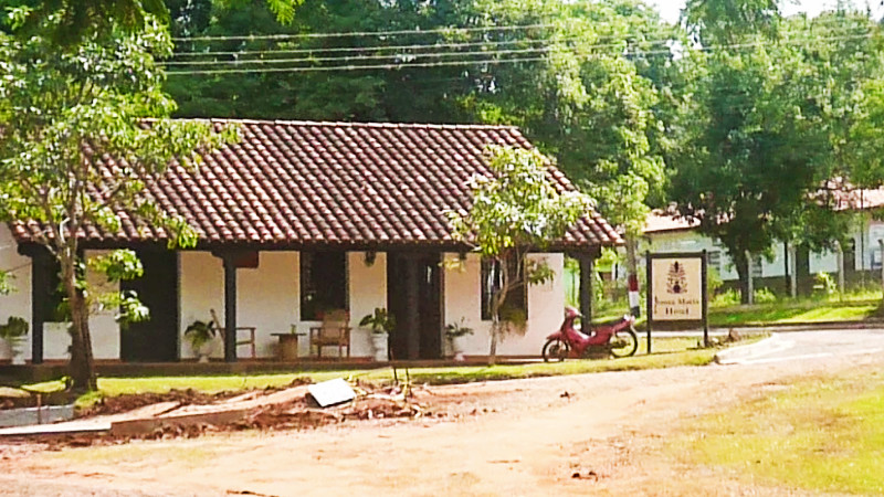 WEDNESDAY MORNING, 19TH December, I packed away the tent, skipping breakfast and quietly left Villa Florida without seeing a soul on the streets and pressed on to Santa Maria de Fe, which boasts a tree-shaded plaza home to Howler Monkeys.
 I took a break at San Ignacio in the shade of the trees in the Plaza, busy with vendors and commercial traffic rumbling along the main road on the northern edge through the town centre. the place was ripe for a bypass but maybe that would impact the traders around the Plaza. I was only here to rest and cool off in the shade and take a few slugs of water out of my bottle.
 John told me to seek out Margaret Hebblethwaite who runs the only Hotel there on the Plaza. Kicking down the side-stand swinging my bruised thigh over the saddle and limping into reception, stiff from being immobile on the bike, I notice an older white-haired Caucasian and a young Paraguayan man and woman at a table. They were just serving lunch and I ask if they served food since I was hungry and missed breakfast. No, it’s just for them, there is no public restaurant.
 The door opened to a fair-skinned woman about 5’6″ tall with wavey, strawberry blond hair, wearing a friendly smile and a small silver crucifix around her neck. She reminded me of Deb but a little less ginger and a little more Christian. Margaret greeted me with a generous smile and apologised that she had just made lunch and suggested I sit and admire the garden before adding “Have you eaten?” I said yes, as it was more convenient than saying “No but I don’t want to interrupt your lunch and if I joined you, I would feel uncomfortable and so would rather starve, thanks.” I’d only intended to deliver John’s greeting, after all.
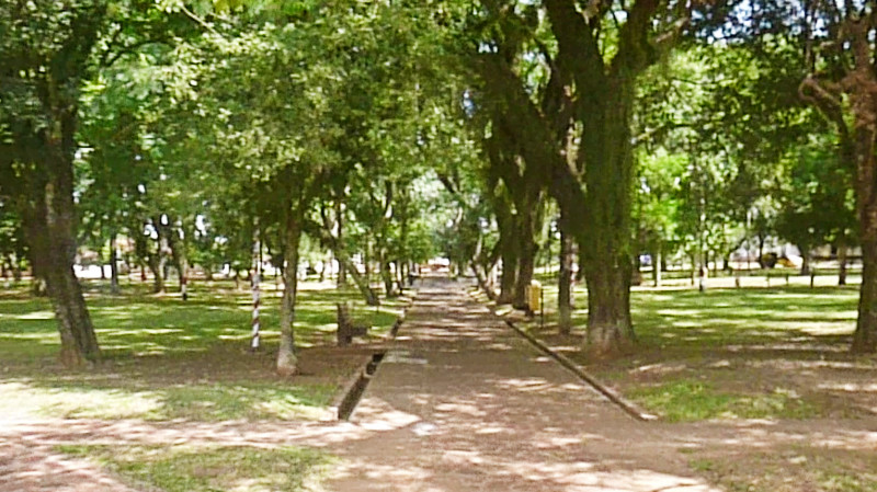 Margaret suggested I stay at the hotel for the night and join her and two English language students for dinner and a movie. I asked how much would it cost, remembering the plush decor of the Hotel and half anticipating “Oh for free as my guest.” and instead, hearing “100,000 Guarani!” About double my budget but cheap for the quality of the place. Even so, I thought the invitation sounded too enticing to pass up and quickly accepted. One night wouldn’t break the bank and went to check in and unpack at the Hotel. At 7pm I wandered through the domain of the Howler Monkeys in the plaza. “Quiet Monkeys,” I call them. I didn’t see or hear anything of them.
 The home cooked food was delicious and being in company softened the callouses on my soul that solitude tends to form. A thunderstorm rumbled overhead during the meal, relieving us of the hot sticky afternoon air and cutting off the electricity in exchange for the favour. There would be no movie but the dinner and conversation over candlelight and abundant good quality wine turned out to be a much better experience. If anybody ever asks, “What would we do without TV?” This was it… starring in your own movie as yourself living your own script: the story of your life…
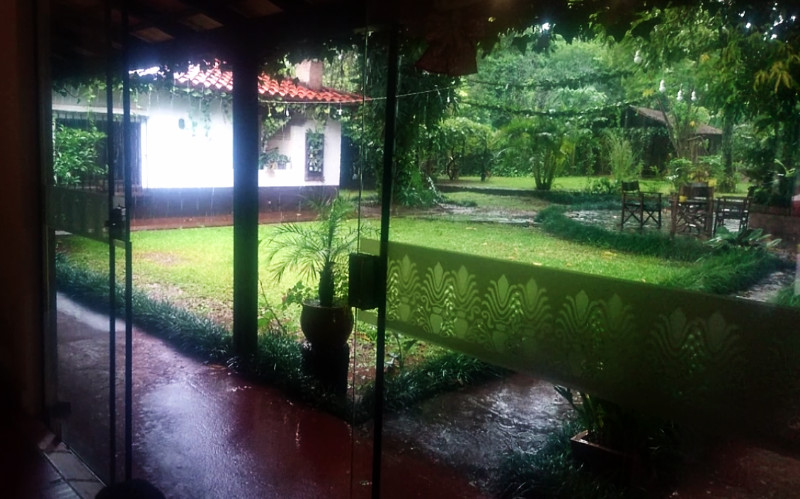 Muted light filtered through the window reminiscent of a grey British winter dawn. True to form, Sod’s Law of Budget Travel No 3 kicked in:
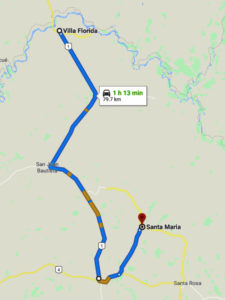
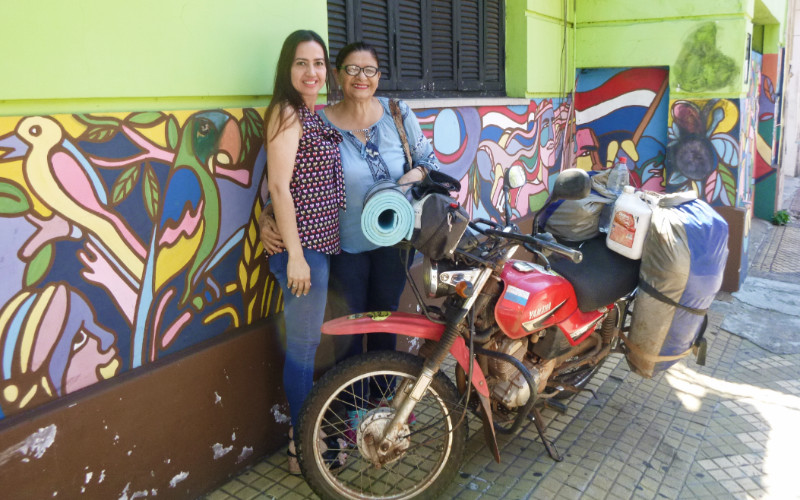 I ESCORTED JOHN to the Airport. Not to make sure he left but to savour the friendship of him and the others that he brought to me. another page, another chapter. Thursday, no point in moving until after the weekend. Monday, I’d go on Monday. I honoured the Bruderhof commitment of the Carol service, such fun in good company it was too.
 Roy had been to a bar for the evening, as he usually does, and heading back in his dinghy to his boat anchored in Rodney Bay, St Lucia… never to be seen again.
 I say nothing about it at the service but it reminds me that our time here is temporary and it creeps by whether we are paying attention or not.
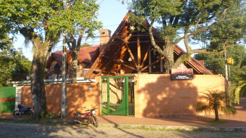 After the service and expressing my gratitude of everyone’s generous welcome within the community, I headed for the Anglican church at John’s suggestion and met the Bishop of Buenos Aires. I couldn’t help bringing a chess piece to mind since I’d started playing online that week. I had just caught him at the end of his service as he had to rush off, leaving diagonally across the floor tiles to the door. I spend a few minutes speaking to Tim, his son, savouring the rich English language that knocks my translation brain cell out of gear to coast down communication’s easy path.
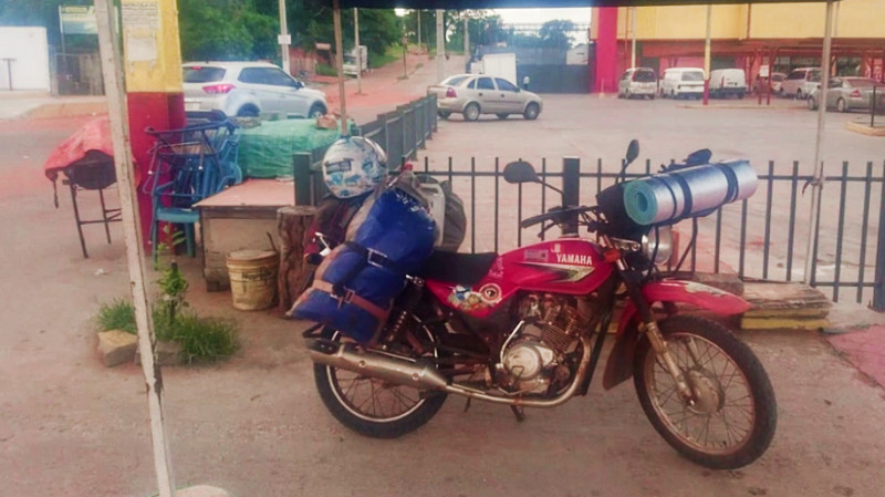 John had given me one final mission to drop off some money that Gloria gave me for Petrona’s family in Nemby – kind of on the way. An alternate route and perhaps shortcut the main Ruta 1. I’d visited Petrona’s house before but as a passenger so at that time, I magically emerged from an Aztec Gold Ford Escort on their doorstep without taking much notice of how I got there.
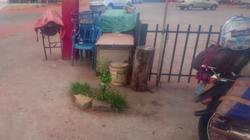 My phone beeped a location link in WhatsApp, but by just looking at it, I knew it was wrong: far too close to the main road. I’d found the neighbourhood but not the house. The proprietors of the local stores and despensas didn’t know who I was talking about if they understood what I was saying at all. All the neighbourhoods looked the same in the repetitive latin gridded cobbled streets and the rattling over the stones on the fully loaded bike was jarring my patience. 2 hours later I found WiFi at a petrol station and expressed my frustration over WhatsApp. John told me not to worry about it and to keep the money and have a beer on him.
 I didn’t like the associated feeling of failure and a beer would be scant compensation. Even a case of beer wouldn’t help, which this amount would easily cover. I sat for a while looking for a drop zone that wasn’t too obvious but would be easy to locate. I noticed a big yellow brick next to a combination barbecue stall and bus stop in front of the big yellow supermarket and slipped the money under that then WhatsApped a video of where it was before setting off to Villa Florida hoping to make camp before dark.
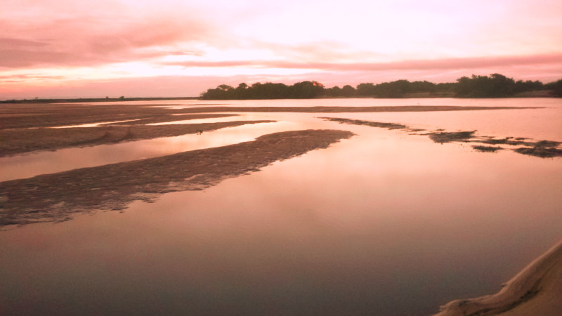 Ruta 1 is fast and tedious and I arrive at Villa Florida with the sun still a hand’s width above the horizon. Crossing the bridge over the Tebicuary River, which marks the northern edge of the village, I notice potential camping spots along the northern bank and beaches. There is a Police checkpoint at the southern end of the bridge and I coast through like Obi-wan Kenobi seemingly unnoticed. I would have liked to have checked out the camping spots back over the bridge on the north bank but didn’t want to chance another possible two passes through the checkpoint so headed down a side street and west along the south bank instead. The track is wide but has patches of deep soft sand and so, with no-one about, I try the Youtube tip of going fast enough to skim the surface like a “skier over water.” The first deep patch triggered a horrendous wobble before the bike plunged to the right and threw me clear. So it was back to paddling along with my feet. The camera in my pocket bruised my thigh when I landed in the sand so this slowly became a painful affair.
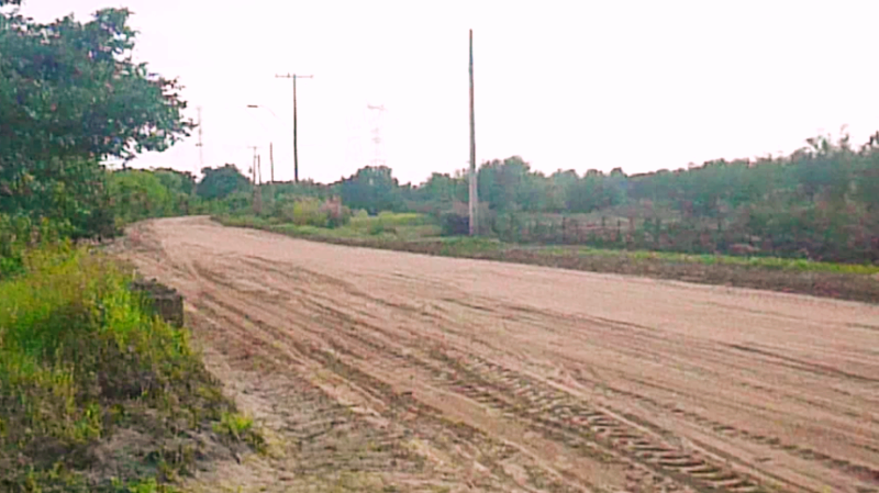 Along the lane, I noticed a gap in the bushes to my right opening out to a grassy area perfect for camping. I pitched the tent around a corner of bushes, invisible from the road and walked down the lane to see where the families were coming from in their bare feet and beach gear.
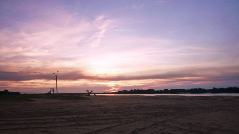
 Playa Paraiso, a park on huge sandy beaches worthy of any seaside beach in the UK. I could have camped here but even though there was a huge area, it was busier. I was happy with my hideaway.
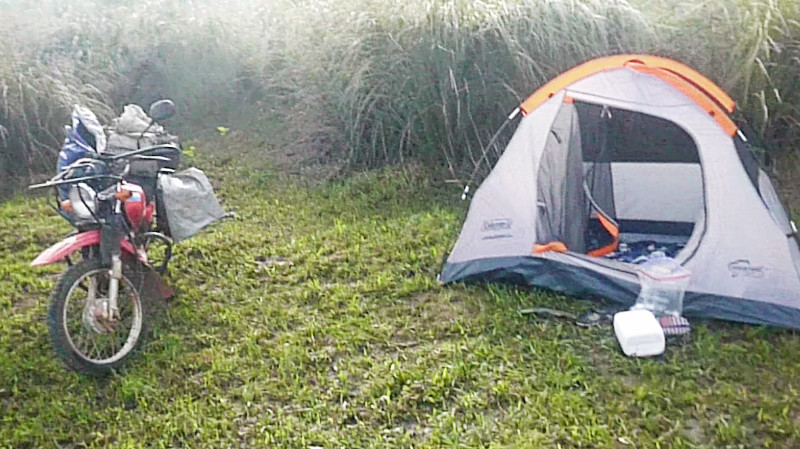
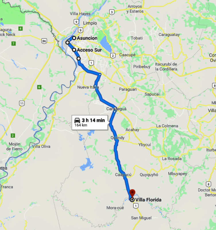
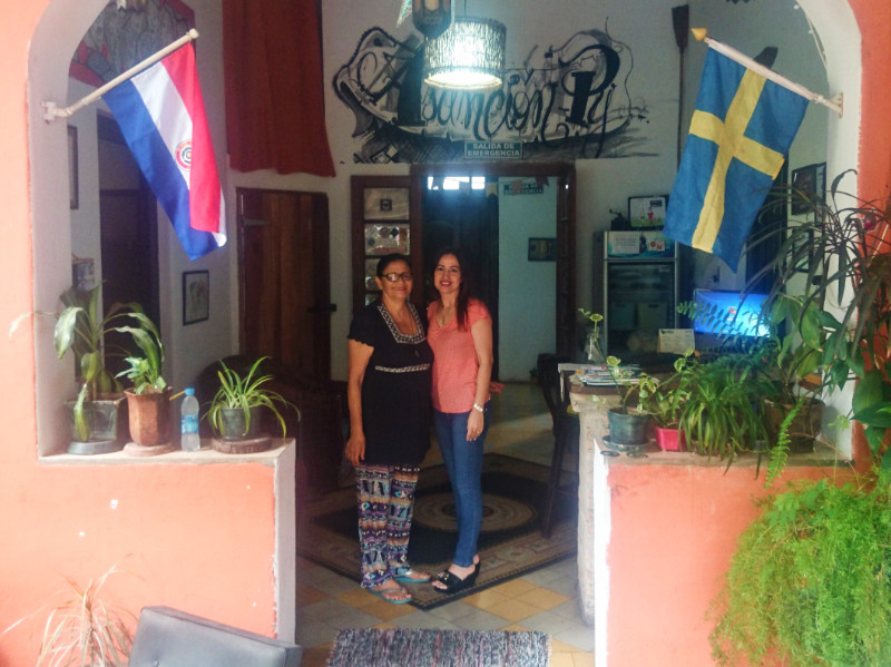 EL JARDIN SAW guests come and go. Backpackers mainly, European and South American, very few North Americans but all in all, not so many travellers compared to the towns and cities like Cusco on the well-trodden Gringo Trail. As days rolled into weeks, I was beginning to feel more akin to the long term ‘residents’ at El Jardin: part of the furniture rather than a guest and I could now see that the people I initially assumed to be joyless volunteers were simply being their authentic selves, going with the flow, forgoing a facade even for the sake of professional hospitality.
 Martin and Nikita arrived at the El Jardin same time; both Dutch but travelling separately. I assumed they were a couple but their simultaneous arrival was pure coincidence. Both were easy for me to relate to and their English was impeccable. I often move invisibly amongst travellers but not so with Martin and Nikita. I’d be on their radar as soon as I was within line of sight. It was an energising and refreshing failure of my invisibility superpower.
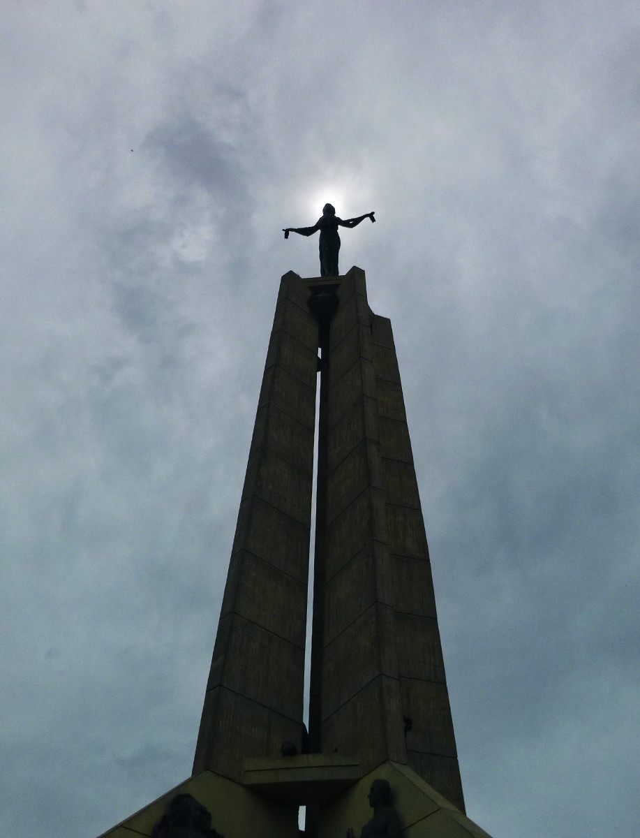 Travel is not only a path of discovery of the world, it is also a path of discovery of the self and the line between the two becomes blurred the further down that path you go. When it comes to ‘education.’ travel shows you your truth from within – you feel it unfiltered bubbling to the surface like the fresh water of a mountain spring from the hidden depths below. Its source isn’t external. It comes naturally from you, stimulated by natural interactions with people, time and action. Schooling, however, brands an external curriculum – the agenda of the state – deep into your soul, conditioning to conform and obey at such an early age that the resulting effects become deeply embedded and difficult to extract and heal the remaining scars. It’s only just now, after almost three years of my journey with Life With Glee that I feel my own scars of conditioning beginning to heal, and travel has had a lot to do with that.
 John’s friends, Debbie and Cedron from the UK. arrived a couple of weeks into my visit and communication without translation felt effortless. That part of the brain I use for translation could be slipped into neutral and I could coast along the communication highway without having to even think about it. Debbie and Cedron were busy with their own affairs most of the time and diverted some of John’s attention but I enjoyed the solitude and opportunity to reflect and write a little plus attend to the increasingly urgent and time-consuming laptop maintenance.
 The Roosevelt Library founded on April 12, 1946 by the Centro Cultural Paraguayo Americano (CCPA) 6 blocks away from El Jardin became my cool workspace, since the Air Conditioners would be off at the Hostel during the day even when the temperature was over 100F. I’d commute on foot to the library of a workday, past the plywood shacks that the river flood refugees had erected along the pavements and parks.
 Back in the UK, the ‘authorities’ would demolish these shelters and kick the refugees down the road, sweeping the problem under the carpet without actually addressing it. Here, the authorities provide water, electric and US Aid portaloos for sanitation. Scattered throughout the city and even around the parliamentary building, these structures provided a stark contrast to the ideas of civilisation, community and humanity at every level.
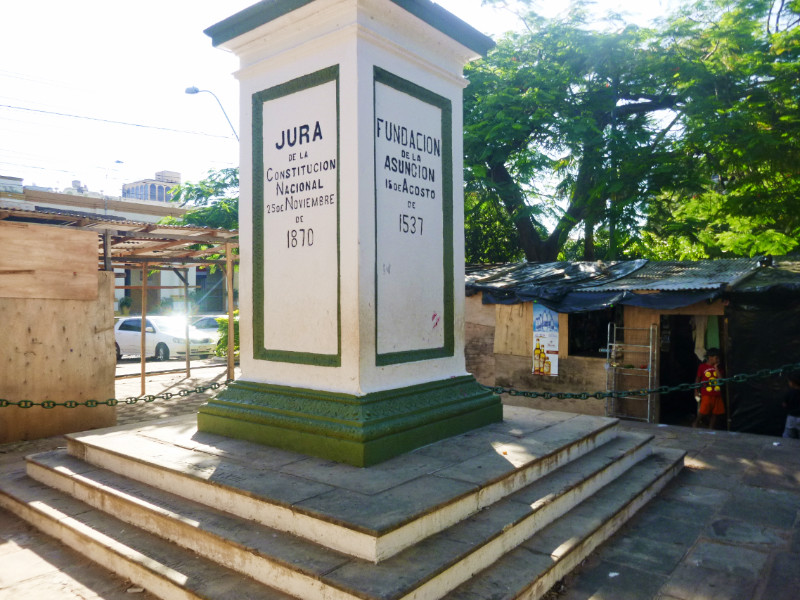 I found it difficult to set a date for moving on from Asuncion since I was enjoying so much being here. John’s three-month visit to Paraguay was coming to an end in December so I set my deadline to leave the Monday after. That gave me time to honour the invitation to the Bruderhof Christmas Carol service and perhaps a final Sunday service.
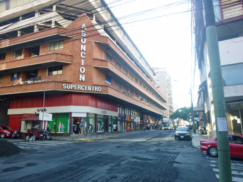 In the end, the initial 5 days at the El Jardin in Asuncion became 5 Weeks. my roots were growing into the social foundation of the Paraguayan capital and my wings of travel were beginning to wither. But circumstances were signalling it was time to take flight again.
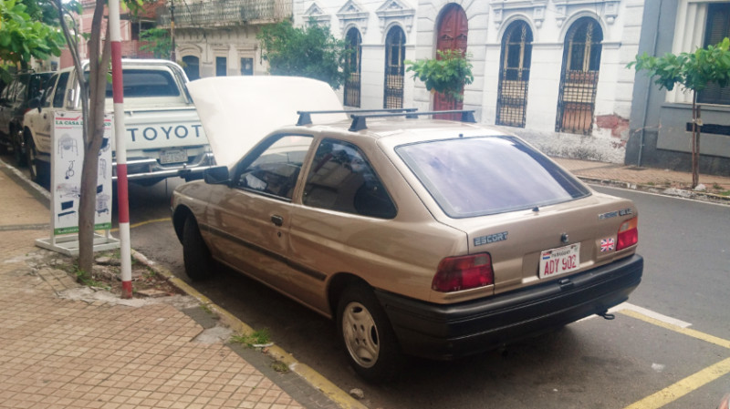 John picked me up for the church service at the Bruderhof community at Primavera House. Opening the door to the street revealed the unexpected sight of Manuel’s Classic Mk5 Ford Escort in Aztec Gold (or as I call it, metallic beige.) Even so, it’s a generous loan by Manuel that opens up all sorts of options for our stay in the capital. The car’s existence defied Ford’s reputation for limited longevity and this particular model still appeared to be nimble enough to escape the local motor museum or scrap yard. We kangarooed our way across the grid of streets to Primavera House in traditional style…
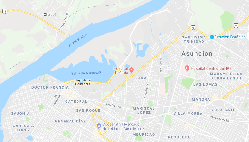 To the west of the El Jardin was Downtown Asuncion and to the east were the suburbs including the Chacomer Yamaha Dealer, Primavera House and various air-conditioned shopping malls.
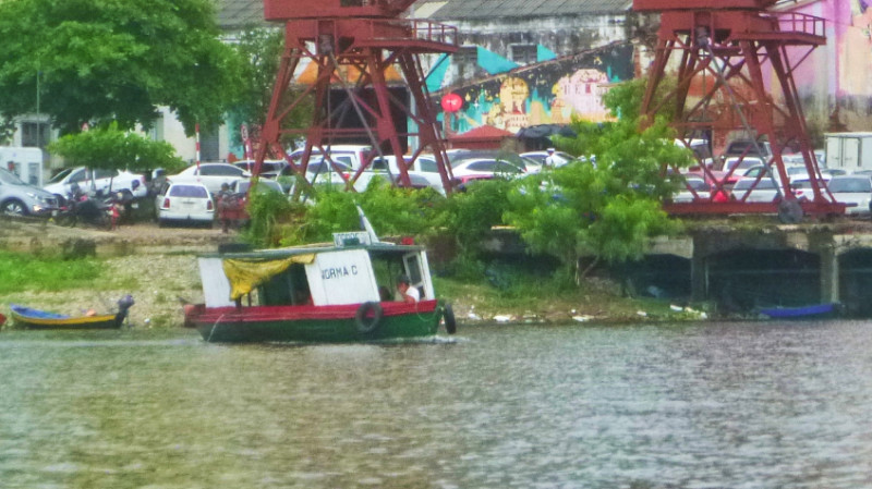 Across the river to the west of Asuncion is Chaco-i, a small riverside village. The roaring diesel of the water taxi trying to shake itself off the mountings while beating its high decibel rhythm on our eardrums ferried us across the river and up the shore a little to the boat that Claudio built. John discovered him a few years ago hidden in the woods working away like Noah on his Ark. Claudio spent 10 years building a yacht in the woods of Chaco-i with the dream of eventually sailing it down the might river Paraguay to the sea. “How will you get it to the water?” asked John. There was no easy way to get this Ferro-cement monster through the trees and down the bank but I think his intention was that it would float out on a flood when the time was right.
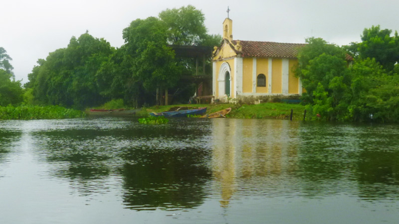 The boat was almost complete, laying on its starboard side but still lacking sails. John found some used sails cheap in Panama where vessels refit before continuing along the canal to the Pacific and dragged them through excess baggage rules all the way to Chaco-i to discover Claudio had died of a heart attack working on his boat only a few months previously.
 And there, through the trees, was Claudio’s legacy before our very eyes. Peacefully floating in the flood water Afloat in the garden wearing the mud stain on the hull like an emblem of unshakable faith. Afloat in the woods, where Claudio had invested the last chapters of his life.
 John said he died in the process of his dream and we shouldn’t be sad. Even though I’d never met the legend that was Claudio, I felt real emotion for him.
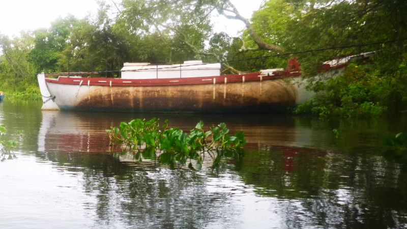
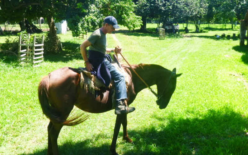 JOHN’S A NATURAL speaker and an interesting guide. My ears sometimes have a hard time keeping up but I’m picking up a lot about Paraguay from John’s upbringing with the
 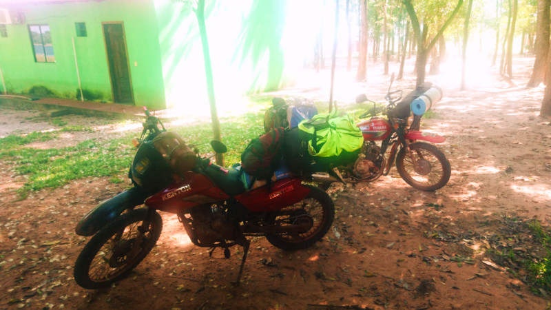 Two days at Laguna Blanca had been enough rest and recuperation for me and I felt ready to go even though I didn’t get round to walking the trails around the lake.
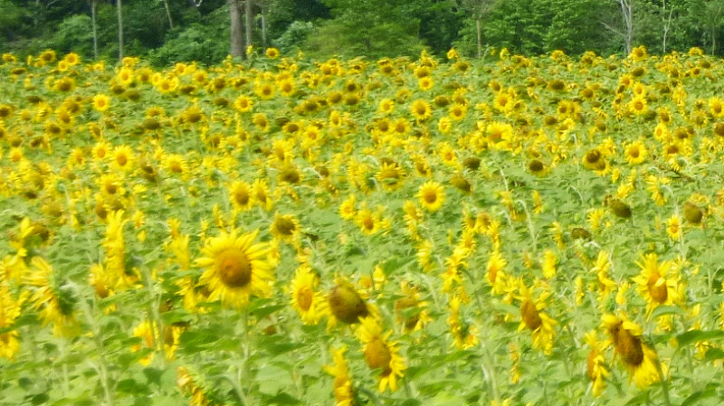 We exited along the sandy track next to the sea of Sunflowers bathing their faces in the morning sun two miles to Route 11. Route 11 was a gentle start to the day and we soon arrived in Nueve Germania, proudly displaying the colours of the German flag painted on bins and signposts. We stopped to top up John’s phone credit and took advantage of the nearby Cafe for a buffet lunch. “Weigh and Pay.” Which means, gram for gram, steak costs the same as rice.
 Our objective for the day was Puerto Rosario, the other side of the Mennonite town of Volendam. My first encounter with the Mennonites surprised me. I expected something like the Amish but everyone dressed like modern Europeans. I could have been in Hampshire or Hamburg. The first ones I’d noticed had fair hair and blue eyes sporting unhappy faces.
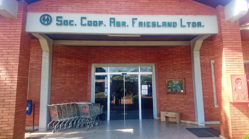 A late stretch of dirt road had me sweating up a hot thirst by the time we reached Puerto Rosario and we took it in turns to strip off and bathe in the cool waters of the Rio Paraguay beneath the iconic tree, symbolising the Bruderhof’s arrival at Primavera, while one of us kept an eye on the bikes. This tree John helped the town save from the erosion of the bank by the Rio Paraguay and a negligent, idle town Mayor a few years ago. John, a foreigner with no claim to Puerto Rosario. His proposal to pay for shoring up the riverbank to save the tree shamed the local Mayor into doing the job he is paid to do.
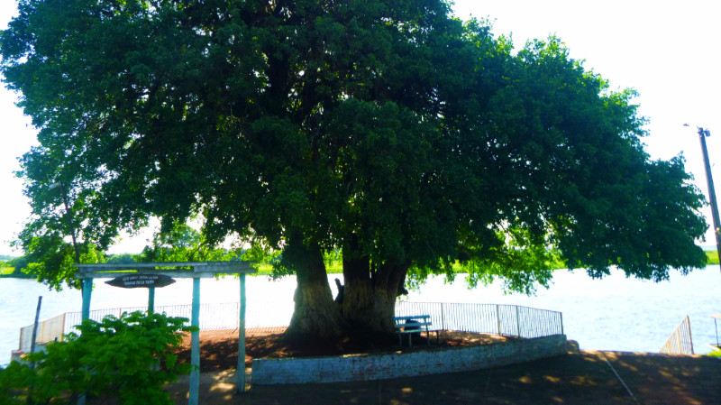 We were on John’s historic turf and we stopped by to say hello to a couple of his old friends but (against our tentative hope) discovered nowhere nearby to stay for the night. This meant hitting the road to Itacurubi 25 miles away. Not so bad but it felt a lot further since it had already gone 5pm and I’d thought I’d hit the finish line for the day and was already unwinding.
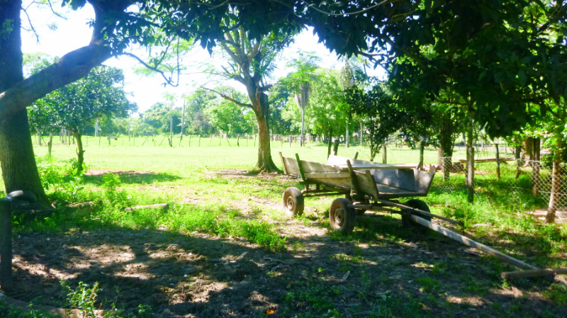 John recounted his upbringing around the woods and rivers of Itacurubi. these days, the trees have been cleared, roads built and tracts of land divided into farms and ranches. For my Westernised eyes, I got a glimpse into the past where life was simple but work was hard. Wood-fired stoves, food growing in the next field or walking around the ranches. the Bruderhof land had long been sold off to the Mennonites but we still had access to the ranch and the river. We took the ranchers horses around the Estancia and later drifted down the river using a tyre and plastic bottles for floats like John used to in bygone times.
 We spent a couple of days exploring and hanging out with John’s friends plus the ranchers drinking Terere, a kind of green tea sipped through a metal straw, similar to Mate in Argentina but served cold instead of hot, and passed around like a pipe of peace.
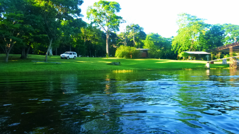 We hit the road to Asuncion late Friday afternoon after a generous lunch by one of John’s old friends he grew up with.
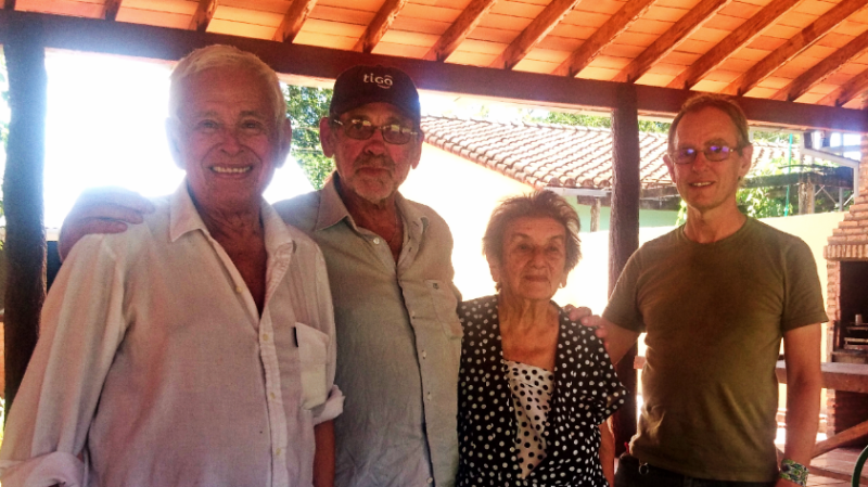
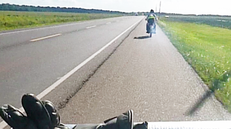 A swampy region obstructs the direct route south so we had to almost double back along the asphalt route east to San Estanislao (aka “Santani”) and then south-west along Ruta 3. I was following John and gradually dropping back. His exhaust was blowing out blue smoke – sometimes in thick clouds and the noxious fumes were becoming nauseating.
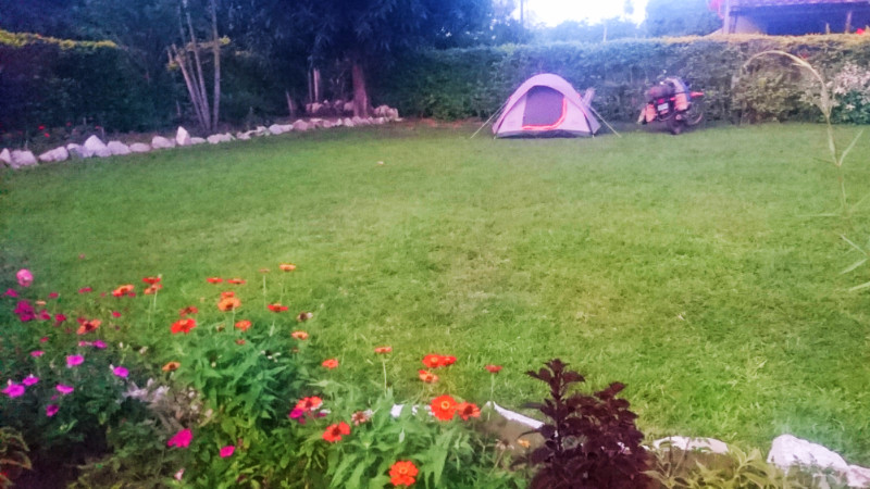 Plan B. We would stay in the garden. John borrowed a hammock from the wanker down the lane and I pitched my tent in the garden. The younger brother, Ariel, that lived next door gave us a proper warm Paraguayan welcome.
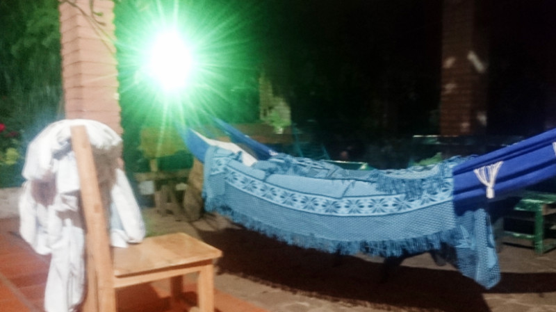 John’s hammock looked comfortable strung out under the grape vines. I pitched my tent up on the edge of the lawn out of snoring range. Just drifting off to sleep. I was disturbed by a rustling noise. Something was moving under the groundsheet near my head, about as thick as a child’s arm and already about a foot inward. Toads gathered at night to feed on the insects that drop off the street light next to the garden but this didn’t sound or move like a toad. I dropped my hiking boot on it and the creature withdrew. By its movement, I guessed it was a snake but I didn’t want to step out in the dark to find out.
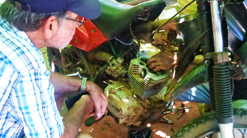 The engine is a single cylinder overhead valve with tappets and pushrods. I hadn’t seen tappets since my Mk1 Ford Escort, so simple, it was a joy to observe. Normally you’d use a feeler gauge to set the valve gaps but not in Paraguay. Wiggle the rocker to see if it’s free but not too much. the bike fired up on the first or second kick and would now even start on the button. I’d not seen it start on the button before.
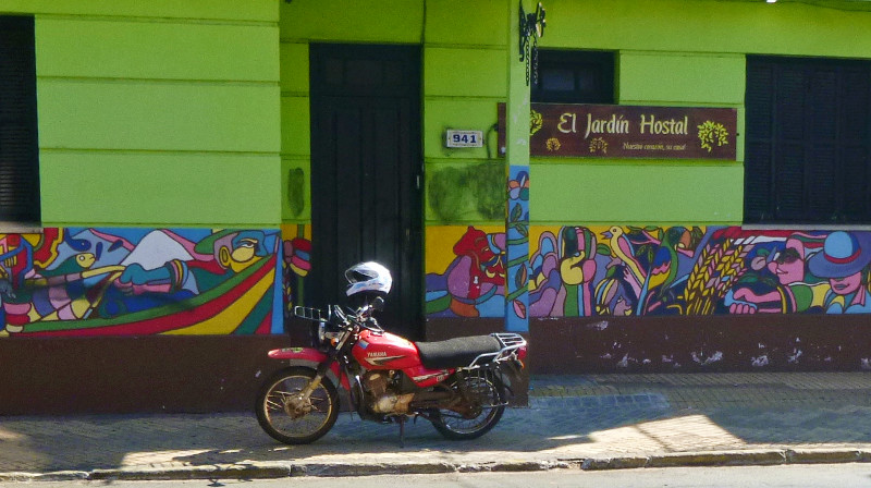 Despite the tranquil green sanctuary of the garden, there was a peculiar atmosphere created by the ‘guests.’ They were not conventional guests but kind of live here, lounging about the furniture, chain-smoking and socialising in their small familiar clique. The atmosphere felt glum and solemn and the regular guests were greeted without a smile or friendly gesture. It’s not that they were unfriendly… first impressions just felt cheerless with a heavy ambience. Still, I was here now. Five days was the answer I gave the registration form but I didn’t yet know.
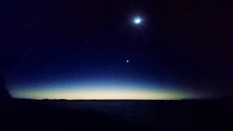
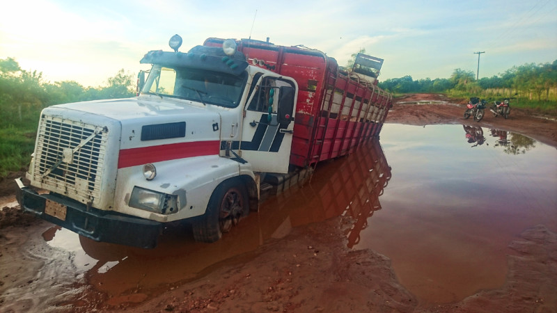 SUNDAY IN BELEN is a day for sitting back and doing nothing. Much like any other day except the shops are shut. John and I planned to head south, cross country, to San Pedro the following day so I took my time adjusting the chain and head bearings, topped up the oil and packed away the things I didn’t need overnight. The recent storm produced a rumour that the road to San Pedro was now impassable so we took a ride out to check the first few kilometres ourselves
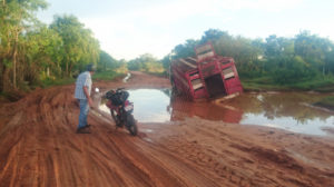 John spoke with the driver for a while and he and the driver looked at me. John said, “He asked what you think about Jesus… please say something nice.” I replied that Jesus was “The One!” and left it at that, with it not being a topic I like talking about, but my comment seemed to smooth over an awkward moment as he vigorously shook my hand.
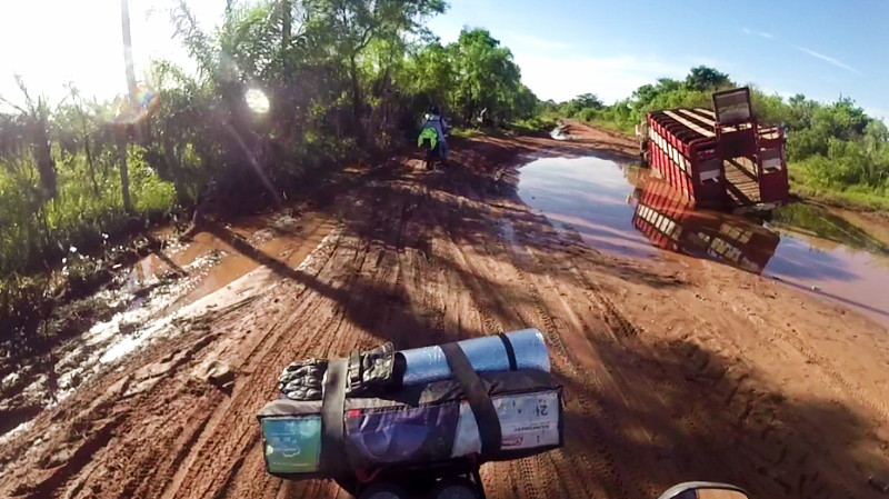 Monday. We set off to Tacuati stopping briefly at the stricken truck to leave the driver some beer for company. Onward we rode over varying surfaces of red, wet and dry dirt track. Having been running around on an unladen bike for a week, my steering now felt heavy and lethargic with the weight of the tent on the front. The bags strapped on the back added some weight but I made good progress bounding over the potholes and slithering through the mud.
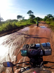 A wide puddle bisected the whole track with water and mud. John rode into the mud and got stuck in the middle about twelve feet in and 8 inches deep. I paused behind. Looking at the brown water, the truck tyres seems to enter at a shallow angle so I rode along a tyre track through the water trusting there were no potholes lurking beneath the surface. The water was no more than about 8 inches deep at the centre and I coasted through smoothly to park the bike on the other side. John signalled me for getting a push. The thought of wading through thick claggy mud wasn’t too appealing but there was no other option unless I simply rode off.
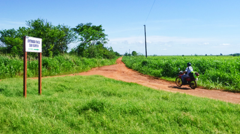 By the time I remounted the Yamaha, John was out of sight but I continued at my own pace knowing that if there was a junction – or shade – he’d wait. Squirly tracks on the margins of the track showed that we weren’t the only riders struggling to stay upright.
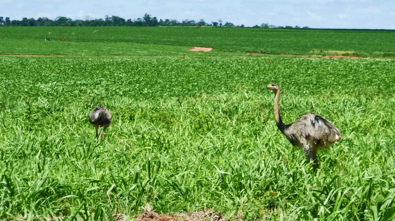 We continued over the corrugations, gravel and potholes at a more or less steady 40kmh and I reflected that I’d been on the road for over half a year and, apart from dropping it while stationary, had not come off yet.
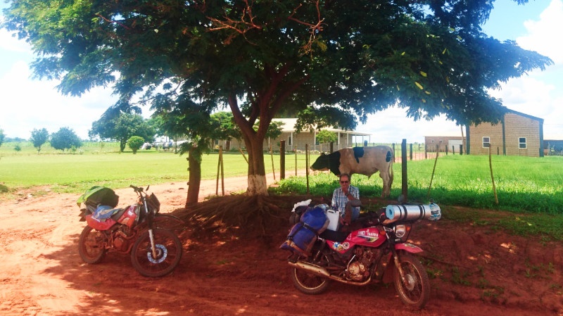 “How many bars have you seen?” asked John while we were sitting under the shade of a tree recovering from my third fall. None! “The Mennonites are workaholics.” As a result, they drive the majority of the Paraguayan economy. The road through the Mennonite communities remains unpaved with stealthy pockets of sand traps so we took it steady until reaching the junction with the paved trunk road, Route 3, at Estancia Alegria.
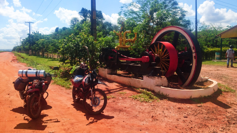 The asphalt gave me a break from the 6-hour slog on the dirt tracks and I happily relaxed with the fast traffic flow along the highway 30km to Santa Rosa del Aguary. Turning left at Santa Rosa, toward Laguna Blanca. we were happy to discover that, despite the map and Google Satellite view still indicating a dirt track, the road to Laguna Blanca had been paved and even extended to the Brazilian border. This meant that we made fast and easy progress the final 30km and arrived at Ecotur at Laguna Blanca before sunset.
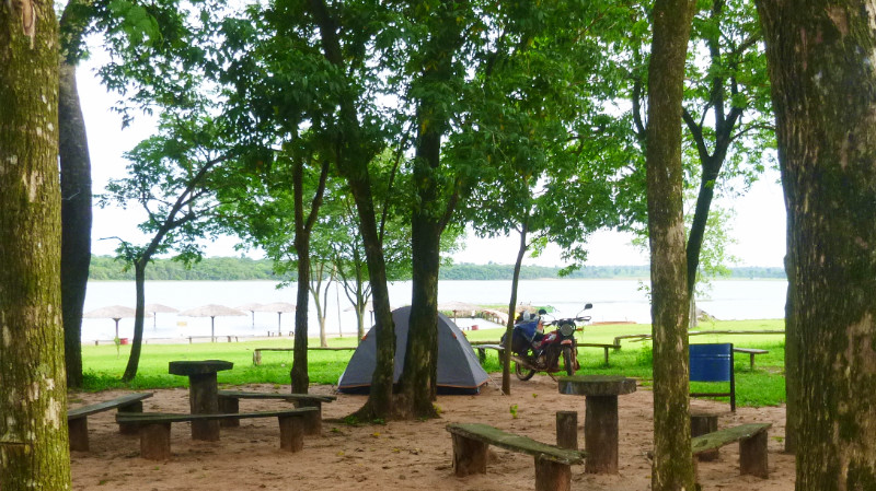 We were the only guests for the night and I instructed to ‘Camp where you like’. John took an air-conditioned cabana and I pitched my tent under the shade of the trees. Only when the tent was up, did the birds start their divebombing campaign. There must have been a nest nearby. “Too late,” I told them. “I’m not moving, you should have said earlier…”
 Rough Guide’s “South America on a budget (2009) says:
 Laguna Verde, I’d call it. The water was now green with algae and visibility poor enough to block the light of the sun if diving more than a couple of feet beneath the surface but it’s still drinkable if you ignore the colour. The water is pumped from the lake to the taps of the campsite.
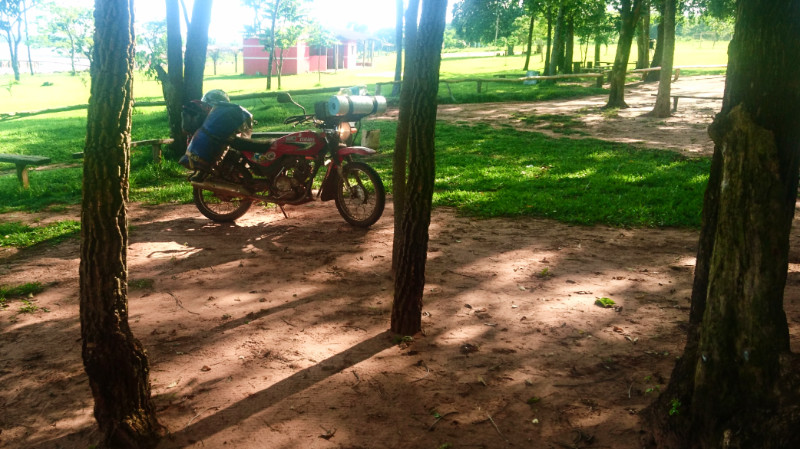 On the shore of the lake. the team at Ecotur were busy hacking back the grassland, dredging the shore and importing white sand for the creation of beaches. I suspected that Laguna Blanca is not quite the natural habitat it once was. Still, the natural remoteness, the breeze through the trees to keep us cool and the quiet tranquillity of being so far from the road made it a nice place to relax for a couple of days…
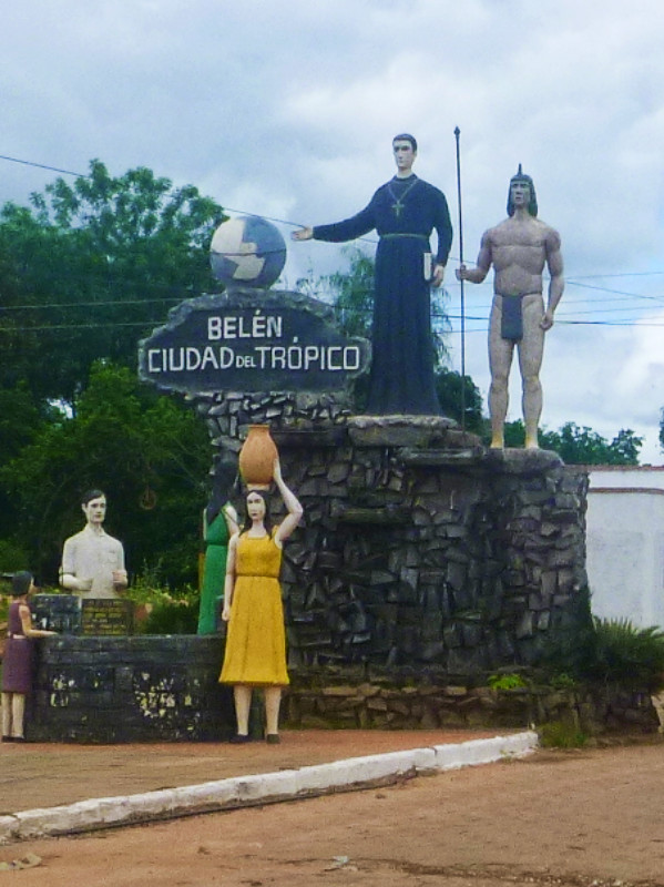 MY DEFAULT SETTING for invitations is to accept and I found myself riding along Route 5 toward Belen to stay at John’s house for a few nights. A few Kilometers off the right hand turn to Belen, the Tropic of Capricorn is painted across the road, implying it’s continuation looking across the fields east to eventually arrive at the back of my head from the west. It’s not the first time across the tropic since I’d ridden down a dirt track to El Roble near Belen last weekend for Sunday dinner with the family who run Hostel de las Aguas but it’s my first conscious crossing of it.
 Belen. A tranquil village laid out in the familiar Latin grid of hexagonally block-paved streets. Its ambience reminded me of an old cowboy town. My iron horse idled down the street toward the plaza. Porches of plastic chairs occupied by watchful locals returned my wave or nod. I got the feeling word would soon get around that “There’s a new gringo in town.”
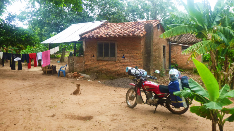 Apologising for the repeated phrases that I failed to grasp took more effort than the mental decoding of the phrases themselves. Sometimes listening gets more tiring than speaking. I was relieved at John’s arrival about an hour later. He likes talking more than I do. Even so, ‘not speaking’ in Spanish is still more effort than ‘not speaking’ in English.
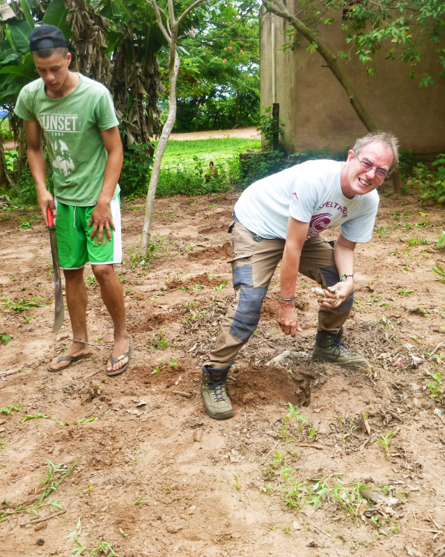 The next day, I followed the young Paraguayan’s row of shallow holes dug into the ground with a machete, poking in the cuttings and covering them over using my boot. The Mandioca was quickly planted so I helped out with some of the plumbing jobs punctuated by shuttle runs on the bike to the hardware store to exchange various items that didn’t fit properly.
 The trail became wetter and rougher, and the sky was getting darker as the brush closed in around the track with the sun quickly sinking to the horizon. “We’ve gone wrong somewhere.” John announced, “we’d better go back before it gets dark.” Good call. I wouldn’t want this experience in the dark.
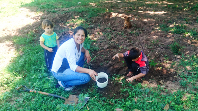 Renalda encouraged me to socialise and we dug worms from the ground in front of the house in order to go fishing. Her ex (Pablo’s father, Esteban) arrived and helped. I caught sight of a young chicken racing across the garden and heard Renalda shout. A black snake was chasing along the chicken’s track before Estaban picked up an iron bar and killed it. The snake was about 5 feet long, black and grey and apparently poisonous. Even though it was dead on its back, the thick gleaming black body still writhed.
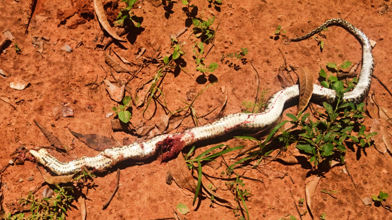 At the river, the mosquitos soon congregated to home in on bare skin or thin clothing. Renalda had company in Esteban and the two boys so I made my excuse and told them I was going for a Siesta to find sanctuary in my room to find some solitude and read and leave them fishing in the muddy, opaque river.
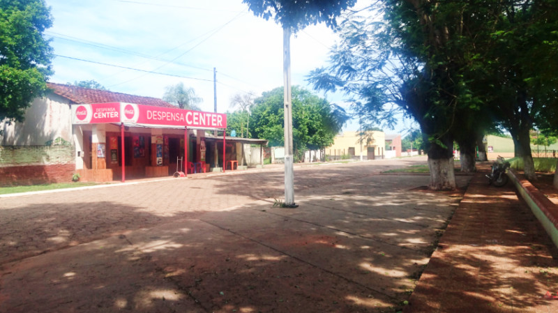 It became hotter than ever outside with no breeze. Even with the fan on full tilt, I was sweating in the room. I took the bike up to the Plaza to see if I could publish a blog I had drafted in my room and to read my emails. The proprietor said “Muy Caloro” and pointed to next door. I took my coke and sat well inside the vacant restaurant, away from the radiant heat of the street, while he plugged in a high-speed fan aiming it in my direction. The fan blasted a stream of warm air across me. It was more drying than cooling but I was still grateful for it.
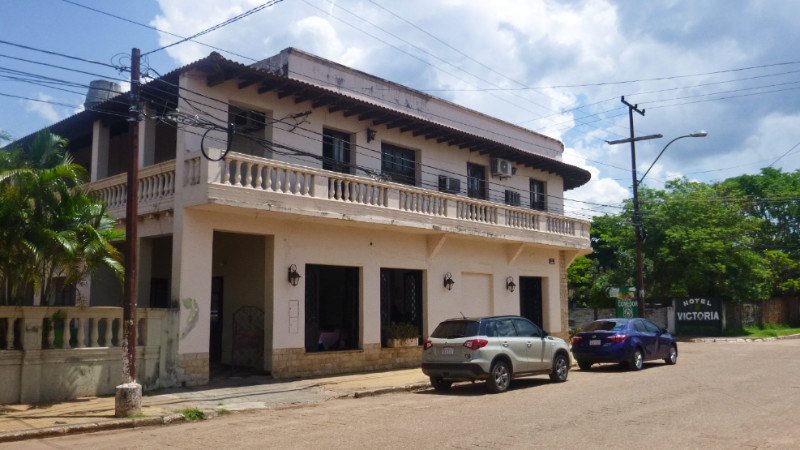 Friday night at Las Aguas in the Aquidaban room was noisy and restless. Although it’s a private twin, for me it’s the worst room in the hostel, downstairs next to the kitchen and a bathroom, walls flaking and stained with damp patches. I’m not sensitive to decor but I am to noise. The AC took the muggy edge off the afternoon but I found it difficult to either work or rest and slung together some rough edits into the blog and sifted through some photos to add. The music and loud chatter downstairs in the hostel continued well past 3am and I laid down to hear the 4am chime of the church clock before finally dropping off to sleep. I still like Hostal de las Aguas as it’s cheap, friendly and close to the centre but I’d opt for the dorm upstairs instead of the downstairs room.
 After finishing off the coffee at breakfast, I craved some more so I packed up and took the bike to a coffee shop I’d noticed a week before. The Coffee House wasn’t open until 3pm so I crossed the road to the old Victoria Hotel until it coincidentally closed at 3 and I recrossed the road to finish blogging at The Coffee House.
 In Bonito, chickens would congregate with me in the shelter of the picnic shelters when the rain came. It was the same with the motorcyclists here in this petrol station. there were half a dozen of us looking at each other and at the passing clouds.
 The wind was already up to gale force as I crossed the Tropic of Capricorn marker. Rain was driven under my visor onto my glasses. Visibility was poor and the wind blew me on a weaving course along the road. I knew I wasn’t far from the town and there was nowhere to shelter so pressing on slowing for oncoming headlights was my only option.
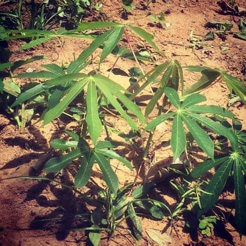
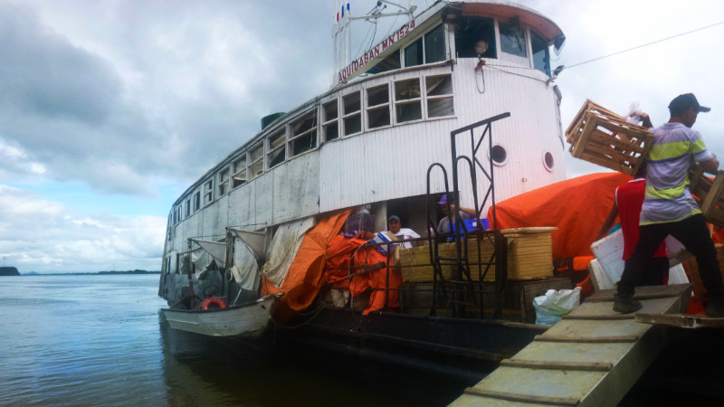 AFTER A FEW days in Concepción, I discover that the magic of this town lies not in the architecture or its quaint echo of antiquity, it’s in the people. Laid back and easy to approach, unlike most western city folk. Walking toward Puerto Concepción, John
  gives me a tour of the Hotel Victoria. I feel we ought to be wearing white suits and Panama hats and waiting for a telegram of what’s new in the Empire – or some such movie scene. The manager invites us to free breakfast. Apparently, it’s rude to refuse so second breakfast it
  is.
is.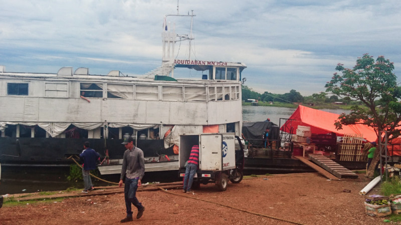 like backtracking. There were four of us: Philip the genial young German heading into the Chaco to visit the Mennonite colonies, Matthew the journalist researching the Chaco wars and a charismatic 73-year-old from Swindon with a theatrical presence and sonorant voice that appears irresistible to the local ladies.
 The Aquidaban feels like a post-war film set. A plywood edifice built over a wooden hull, laden with fruit, veg, meat, beer, steel wire, roofing panels, plastic pipes and mysterious sacks and boxes tied down under tarpaulins. Inside on the upper deck are wooden seats occupied with men, women and children and hammocks bulging with men only.
 systems penetrate the remote parts of Paraguay. Trucks and buses can make the journey in a tenth of the time of the boat but there is a magic about this floating community depositing goods and people up the Rio Paraguay that will be replaced by nothing else. This magic will die with the birth of the roads. Like how the railways killed the canals in Britain.
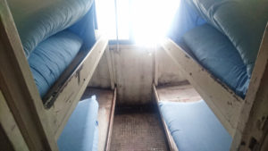 John and I share a cabin, while Philip and Matt dangle in the hammocks amongst the all-night drinkers and talkers. The weather is pleasantly overcast with occasional showers, keeping the temperatures from escalating to sweaty highs.
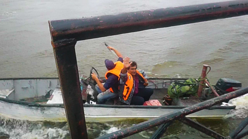 Along the way, people are ferried ashore via the skiff that hangs on the starboard davits without the ship having to stop. For depositing cargo, the bow nuzzles the shore and lines hold her stern as close to shore as possible while goods are handballed over the gangplanks.
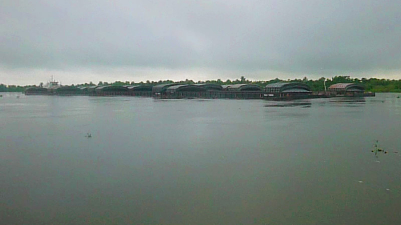 “Absolutely marvellous!” says John like we are cast in another movie scene of a previous era. John had been here in the 50s as a kid and tells me nothing has changed except that the route that is ever getting shorter. No longer does the service run from Asuncion since the roads have carved their way past Concepción up the western side of the river.
 After sunset, locals start stretching out on benches and amongst the cargo. The dim sepia lighting encourages lethargy in the balmy still air smothering the river. The canteen is above the stairwell and the engine below. It’s no good asking for a menu. You get what’s ladled out of the pots. If you find a vegetable then it would have accidentally fallen into this scurvy themed fare. Meat and noodle soup or meat and rice for breakfast, lunch or dinner. I turn in after dinner and a couple of beers in the canteen when the noise of the Latin youth starts to win over the roar of the tenacious diesel tirelessly pushing us against the flow of the water.
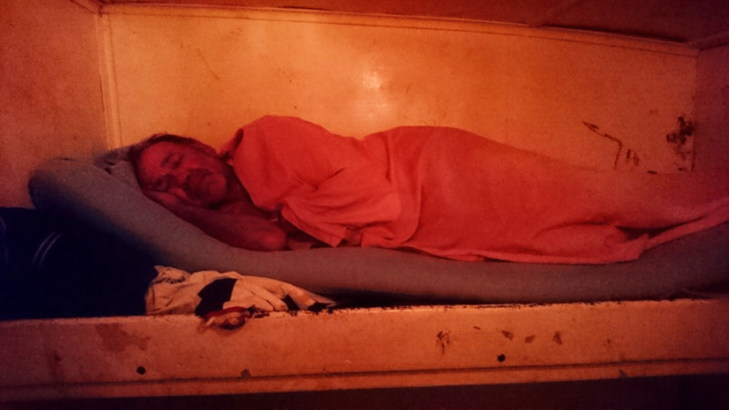 My bunk is a sheet covered foam mattress. I kick off my trousers to use as a pillow and to help the air around my legs cool my body and promptly fall asleep. I awake at 1.30 by people moving across loose planks along the gangway outside the cabin. No engine noise and the sensation of mosquitos drilling my bare legs. Looking out of the window, two nuns in white garb beneath the bright light of a makeshift port. A bizarre enough scene to confuse with a dream. Too hot to go back to bed, trousers go back on for mosquito protection and I go downstairs to sit out on deck.
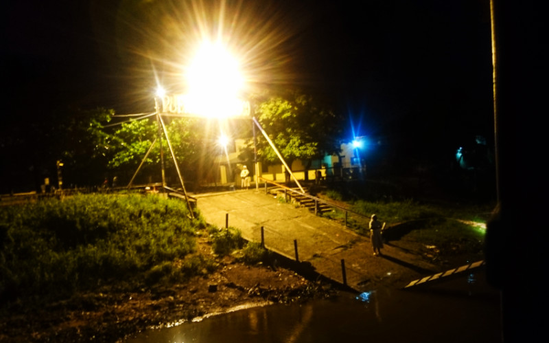 By then, we were already leaving port and the movement of the boat provided a cooling breeze. Still overcast, the near full moon shone through the silvery clouds illuminating the path of the river in shades of black, blue and indigo. Aquidaban displays no nav lights, only the warm low-voltage glow of the interior.
 I awake to the muted rumble of the diesel and the thick watery air of a grey overcast morning drifting through the window. I laid in bed for a while enjoying the comfort before fueling my body via my beef stew breakfast.
 kitted out for a trip. Gabriel, a Jehovah’s witness from Asuncion on his way to Bahia Negra and into the Chaco. Gabriel asked for a second gangplank so he could walk on one pushing his bike up the other. No, it could be done with one, argued the crew and bystanders so instead of two people lifting a plank in place, four struggle at each end of the bike waddling up a single narrow gangplank as if to prove a difficult but invalid point.
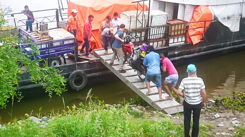 At Puerto Valle-mi, our berth was already taken by a boat being loaded sixpack by sixpack from a lorry load of beer, rugby style along the line thrown from one to the
 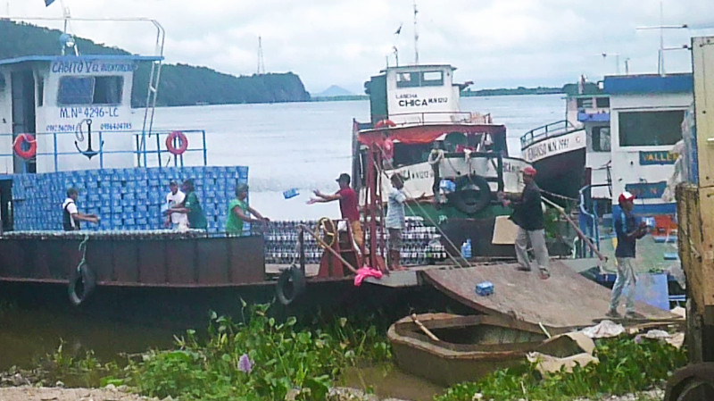 other and stacked on the deck of the boat bricklayer fashion one on top of the other. The boat moved down the shore and the rugby team adjusted its line accordingly before we docked against the earth bank and rattled our way across the gangplank.
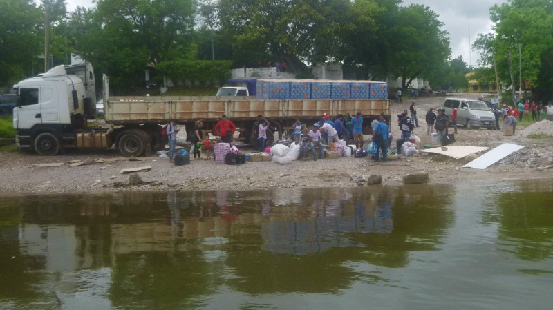
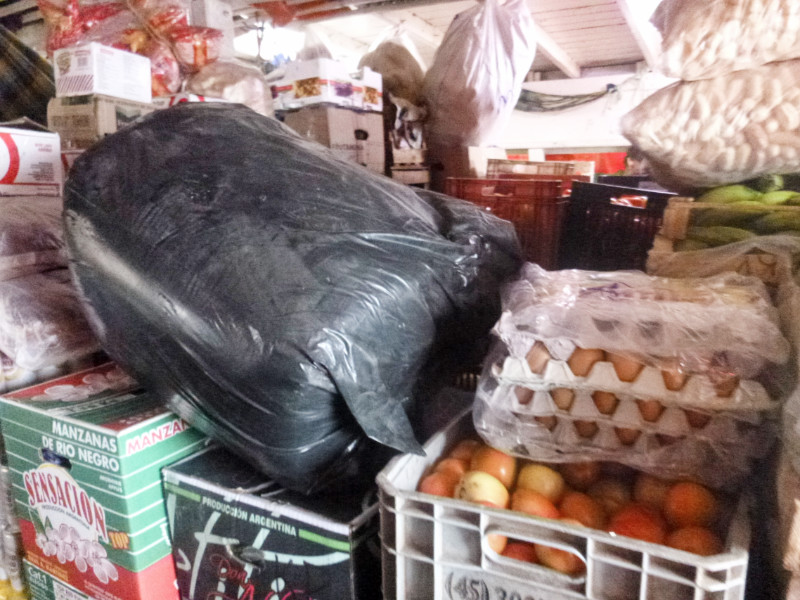
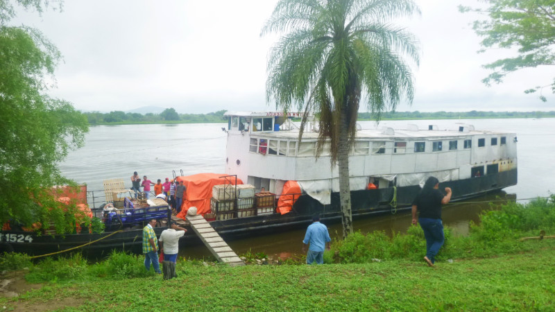
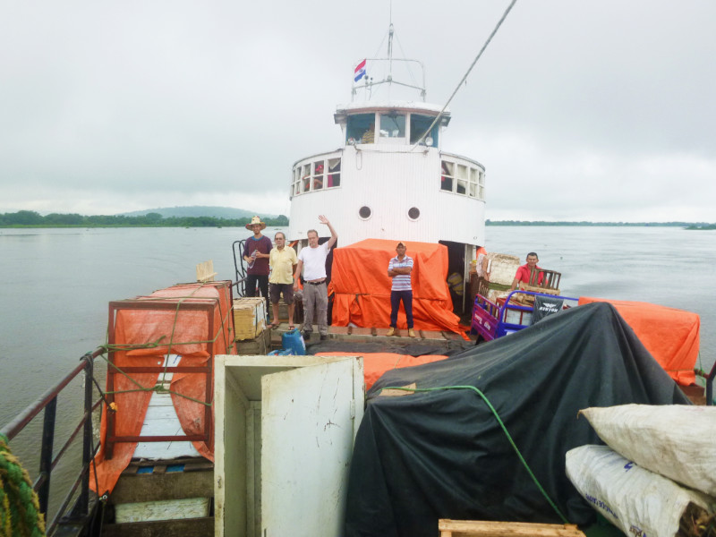


Recent Comments